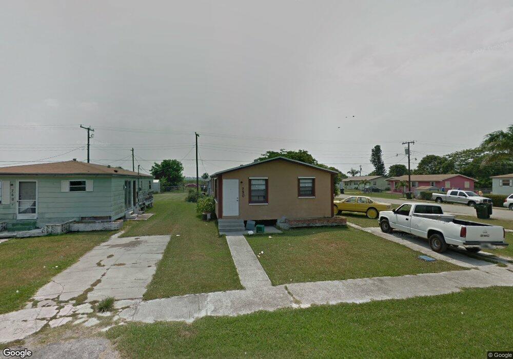
750 Palm Blvd Pahokee, FL 33476
Estimated Value: $91,000 - $135,820
--
Bed
1
Bath
1,056
Sq Ft
$108/Sq Ft
Est. Value
About This Home
This home is located at 750 Palm Blvd, Pahokee, FL 33476 and is currently estimated at $114,273, approximately $108 per square foot. 750 Palm Blvd is a home located in Palm Beach County with nearby schools including Pahokee Elementary School, Pahokee Middle/Senior High School, and Glades Academy Elementary School.
Ownership History
Date
Name
Owned For
Owner Type
Purchase Details
Closed on
Nov 6, 2025
Sold by
Eaddy Nikia Shanta and Pearson Dominique Lashay
Bought by
Pearson Tony Denard
Current Estimated Value
Purchase Details
Closed on
Sep 12, 1996
Sold by
Oleck Richard
Bought by
Green Faith P
Home Financials for this Owner
Home Financials are based on the most recent Mortgage that was taken out on this home.
Original Mortgage
$31,100
Interest Rate
8.21%
Mortgage Type
New Conventional
Purchase Details
Closed on
Jul 12, 1994
Sold by
Housing & Urban Dev
Bought by
Oleck Richard
Purchase Details
Closed on
Jan 24, 1993
Sold by
Fed Natl Mtg Assn
Bought by
Housing & Urban Dev
Create a Home Valuation Report for This Property
The Home Valuation Report is an in-depth analysis detailing your home's value as well as a comparison with similar homes in the area
Home Values in the Area
Average Home Value in this Area
Purchase History
| Date | Buyer | Sale Price | Title Company |
|---|---|---|---|
| Pearson Tony Denard | -- | None Listed On Document | |
| Green Faith P | $35,000 | -- | |
| Oleck Richard | $5,000 | -- | |
| Housing & Urban Dev | -- | -- |
Source: Public Records
Mortgage History
| Date | Status | Borrower | Loan Amount |
|---|---|---|---|
| Previous Owner | Green Faith P | $31,100 |
Source: Public Records
Tax History Compared to Growth
Tax History
| Year | Tax Paid | Tax Assessment Tax Assessment Total Assessment is a certain percentage of the fair market value that is determined by local assessors to be the total taxable value of land and additions on the property. | Land | Improvement |
|---|---|---|---|---|
| 2025 | $629 | $81,891 | -- | -- |
| 2024 | $629 | $42,736 | -- | -- |
| 2023 | $597 | $41,491 | $0 | $0 |
| 2022 | $571 | $40,283 | $0 | $0 |
| 2021 | $545 | $39,110 | $0 | $0 |
| 2020 | $530 | $38,570 | $0 | $0 |
| 2019 | $514 | $37,703 | $13,000 | $24,703 |
| 2018 | $507 | $37,731 | $0 | $0 |
| 2017 | $489 | $36,955 | $10,954 | $26,001 |
| 2016 | $493 | $36,955 | $0 | $0 |
| 2015 | $510 | $37,337 | $0 | $0 |
| 2014 | $521 | $37,531 | $0 | $0 |
Source: Public Records
Map
Nearby Homes
- 0 W Martin Luther King jr Blvd Unit R10990459
- 0 Rardin Ave
- 312 Carissa Dr
- 363 S Lake Ave Unit 1
- 353 S Lake Place
- 364 S Lake Ave
- 0 S Lake Ave Unit R11061220
- 297 E 4th St
- * S Lake Ave
- 300-398 S Lake Ave
- 398 Cypress Ave
- 176 Bacom Point Rd
- 817 E 7th St
- 197 W Main St
- 334 S Barfield Hwy
- 170 Apple Ave
- 700 Larrimore Rd
- 1450 Muck City Rd
- 875 Joe Louis Ave
- 33 Muck City Rd