Estimated Value: $330,088 - $338,000
4
Beds
3
Baths
2,249
Sq Ft
$149/Sq Ft
Est. Value
About This Home
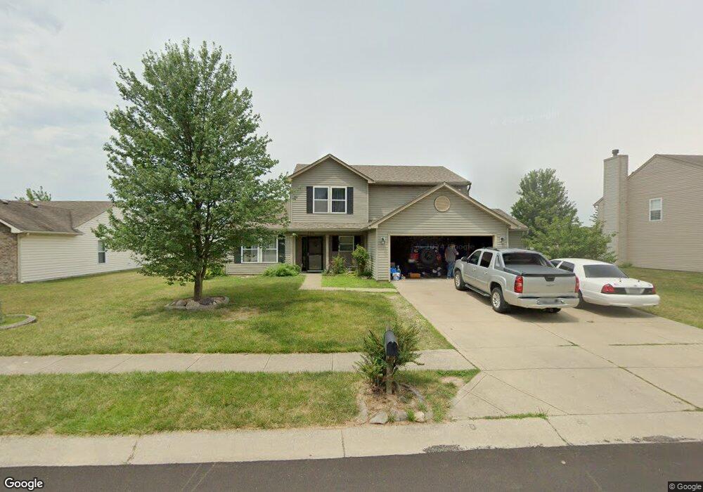
This home is located at 750 Port Dr, Avon, IN 46123 and is currently estimated at $334,522, approximately $148 per square foot. 750 Port Dr is a home located in Hendricks County with nearby schools including Maple Elementary School, White Oak Elementary School, and Avon Middle School North.
Ownership History
Date
Name
Owned For
Owner Type
Purchase Details
Closed on
Feb 24, 2006
Sold by
Kabzinski James L and Kabzinski Lisa M
Bought by
Robertson William L
Current Estimated Value
Home Financials for this Owner
Home Financials are based on the most recent Mortgage that was taken out on this home.
Original Mortgage
$149,900
Outstanding Balance
$84,967
Interest Rate
6.22%
Mortgage Type
New Conventional
Estimated Equity
$249,555
Create a Home Valuation Report for This Property
The Home Valuation Report is an in-depth analysis detailing your home's value as well as a comparison with similar homes in the area
Home Values in the Area
Average Home Value in this Area
Purchase History
| Date | Buyer | Sale Price | Title Company |
|---|---|---|---|
| Robertson William L | -- | None Available |
Source: Public Records
Mortgage History
| Date | Status | Borrower | Loan Amount |
|---|---|---|---|
| Open | Robertson William L | $149,900 |
Source: Public Records
Tax History Compared to Growth
Tax History
| Year | Tax Paid | Tax Assessment Tax Assessment Total Assessment is a certain percentage of the fair market value that is determined by local assessors to be the total taxable value of land and additions on the property. | Land | Improvement |
|---|---|---|---|---|
| 2024 | $2,976 | $265,000 | $37,300 | $227,700 |
| 2023 | $2,717 | $244,300 | $37,300 | $207,000 |
| 2022 | $2,566 | $228,700 | $37,300 | $191,400 |
| 2021 | $2,319 | $202,100 | $37,300 | $164,800 |
| 2020 | $2,189 | $193,600 | $37,300 | $156,300 |
| 2019 | $1,974 | $175,000 | $30,800 | $144,200 |
| 2018 | $2,001 | $172,800 | $30,800 | $142,000 |
| 2017 | $1,651 | $165,100 | $29,300 | $135,800 |
| 2016 | $1,608 | $160,800 | $29,300 | $131,500 |
| 2014 | $1,467 | $146,700 | $26,500 | $120,200 |
Source: Public Records
Map
Nearby Homes
- 793 Port Dr
- 8505 E County Road 100 N
- 8532 Charlotte Ct
- 486 Hyannis Dr
- 958 Kitner Ave
- 546 Corbin Way
- 729 N County Road 900 E
- 811 Stone Trace Ct
- 8178 Captain Dr
- 356 Seabreeze Cir
- 373 Austin Dr
- 1189 Kinross Dr
- 8094 Wesleyan Dr
- 8626 Golden Falls Cir
- 8080 Wesleyan Dr
- 8083 Wesleyan Dr
- 439 Dylan Dr
- 8097 Wesleyan Dr
- 8287 Falkirk Dr
- 578 Corbin Way
- 736 Port Dr
- 8626 Baypointe Dr
- 780 Port Dr
- 8678 Baypointe Dr
- 751 Port Dr
- 8612 Baypointe Dr
- 777 Port Dr
- 8641 Baypointe Dr
- 8655 Baypointe Dr
- 8692 Baypointe Dr
- 8598 Baypointe Dr
- 8637 Robin Run Way
- 8625 Baypointe Dr
- 8623 Robin Run Way
- 8671 Baypointe Dr
- 8607 Robin Run Way
- 8609 Baypointe Dr
- 8683 Baypointe Dr
- 8708 Baypointe Dr
- 8582 Baypointe Dr