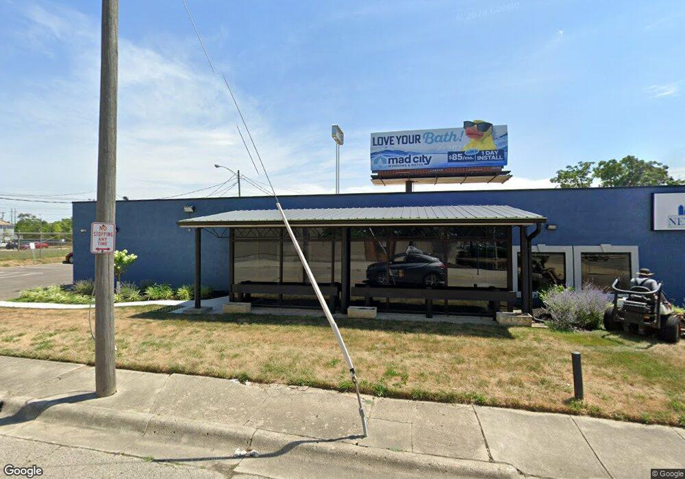
750 W Broad St Columbus, OH 43222
Franklinton Neighborhood
Studio
--
Bath
2,700
Sq Ft
7,841
Sq Ft Lot Lot
About This Home
This home is located at 750 W Broad St, Columbus, OH 43222. 750 W Broad St is a home located in Franklin County with nearby schools including Starling PK-8, Sullivant Elementary School, and West High School.
Ownership History
Date
Name
Owned For
Owner Type
Purchase Details
Closed on
Jun 17, 2022
Sold by
Woodard Ramone D
Bought by
750 West Broad Street Llc
Purchase Details
Closed on
Aug 24, 2000
Sold by
National City Bank
Bought by
Woodard Ramone D
Purchase Details
Closed on
May 12, 1994
Create a Home Valuation Report for This Property
The Home Valuation Report is an in-depth analysis detailing your home's value as well as a comparison with similar homes in the area
Home Values in the Area
Average Home Value in this Area
Purchase History
| Date | Buyer | Sale Price | Title Company |
|---|---|---|---|
| 750 West Broad Street Llc | -- | Stewart Title | |
| Woodard Ramone D | $29,000 | Chicago Title | |
| -- | $150,000 | -- |
Source: Public Records
Tax History
| Year | Tax Paid | Tax Assessment Tax Assessment Total Assessment is a certain percentage of the fair market value that is determined by local assessors to be the total taxable value of land and additions on the property. | Land | Improvement |
|---|---|---|---|---|
| 2025 | $6,865 | $86,870 | $21,770 | $65,100 |
| 2024 | $6,865 | $86,870 | $21,770 | $65,100 |
| 2023 | $6,731 | $86,870 | $21,770 | $65,100 |
| 2022 | $6,602 | $82,890 | $23,980 | $58,910 |
| 2021 | $6,847 | $82,890 | $23,980 | $58,910 |
| 2020 | $6,711 | $82,890 | $23,980 | $58,910 |
| 2019 | $6,203 | $75,320 | $21,770 | $53,550 |
| 2018 | $6,132 | $75,320 | $21,770 | $53,550 |
| 2017 | $6,373 | $75,320 | $21,770 | $53,550 |
| 2016 | $6,550 | $75,260 | $21,810 | $53,450 |
| 2015 | $6,081 | $75,260 | $21,810 | $53,450 |
| 2014 | $6,078 | $75,260 | $21,810 | $53,450 |
| 2013 | $3,012 | $75,250 | $21,805 | $53,445 |
Source: Public Records
Map
Nearby Homes
- 45 S Hartford Ave
- 49 S Hartford Ave
- 45 N Hartford Ave
- 0 S Green St
- 43 N Jones Ave
- 194 S Souder Ave
- 550 W Town St
- 546 W Town St
- 53 Rodgers Ave
- 69 Rodgers Ave
- 1020-1026 Cable Ave
- 186 Avondale Ave Unit 188
- 34 S Cypress Ave
- 753 1/2 Sullivant Ave
- 41 S Cypress Ave
- 83 S Cypress Ave
- 235-237 Avondale Ave
- 211 Dakota Ave
- 149 S Cypress Ave
- 221 Dakota Ave
- 726 W Broad St
- 13 N Green St
- 47 N Green St
- 53 N Green St
- 750 Mount Carmel Mall
- 55 N Green St
- 820 W Broad St
- 8546 Scott St
- 844 W Broad St
- 839 W Broad St
- 642 W Broad St
- 847 W Broad St
- 33 S Souder Ave
- 35 S Souder Ave
- 102 S Green St
- 106 S Green St
- 114 S Green St
- 118 S Green St
- 30 N Hartford Ave
- 866 W Broad St
Your Personal Tour Guide
Ask me questions while you tour the home.