Estimated Value: $627,259 - $661,000
Studio
--
Bath
1,673
Sq Ft
$385/Sq Ft
Est. Value
About This Home
This home is located at 7500 Bowman Cir, Firth, NE 68358 and is currently estimated at $644,130, approximately $385 per square foot. 7500 Bowman Cir is a home located in Gage County with nearby schools including Norris Elementary School, Norris Middle School, and Norris High School.
Ownership History
Date
Name
Owned For
Owner Type
Purchase Details
Closed on
Jan 13, 2010
Sold by
Bowman Melvin E and Bowman Cheryl J
Bought by
Mk Builders Inc
Current Estimated Value
Home Financials for this Owner
Home Financials are based on the most recent Mortgage that was taken out on this home.
Original Mortgage
$273,600
Interest Rate
4.76%
Mortgage Type
Construction
Purchase Details
Closed on
Jan 11, 2010
Sold by
Bowman Melvin E and Bowman Cheryl J
Bought by
Mk Builders Inc
Home Financials for this Owner
Home Financials are based on the most recent Mortgage that was taken out on this home.
Original Mortgage
$273,600
Interest Rate
4.76%
Mortgage Type
Construction
Create a Home Valuation Report for This Property
The Home Valuation Report is an in-depth analysis detailing your home's value as well as a comparison with similar homes in the area
Purchase History
| Date | Buyer | Sale Price | Title Company |
|---|---|---|---|
| Mk Builders Inc | $34,700 | -- | |
| Mk Builders Inc | $35,000 | -- |
Source: Public Records
Mortgage History
| Date | Status | Borrower | Loan Amount |
|---|---|---|---|
| Closed | Mk Builders Inc | $273,600 |
Source: Public Records
Tax History
| Year | Tax Paid | Tax Assessment Tax Assessment Total Assessment is a certain percentage of the fair market value that is determined by local assessors to be the total taxable value of land and additions on the property. | Land | Improvement |
|---|---|---|---|---|
| 2025 | $4,235 | $507,090 | $32,000 | $475,090 |
| 2023 | $5,862 | $434,880 | $32,000 | $402,880 |
| 2022 | $6,255 | $385,405 | $32,000 | $353,405 |
| 2021 | $6,403 | $385,405 | $32,000 | $353,405 |
| 2020 | $6,453 | $385,405 | $32,000 | $353,405 |
| 2019 | $6,394 | $375,115 | $32,000 | $343,115 |
| 2018 | $6,283 | $365,120 | $32,000 | $333,120 |
| 2017 | $5,835 | $365,120 | $32,000 | $333,120 |
| 2016 | $5,710 | $365,120 | $32,000 | $333,120 |
| 2015 | $5,759 | $365,120 | $32,000 | $333,120 |
| 2014 | $6,049 | $365,120 | $32,000 | $333,120 |
Source: Public Records
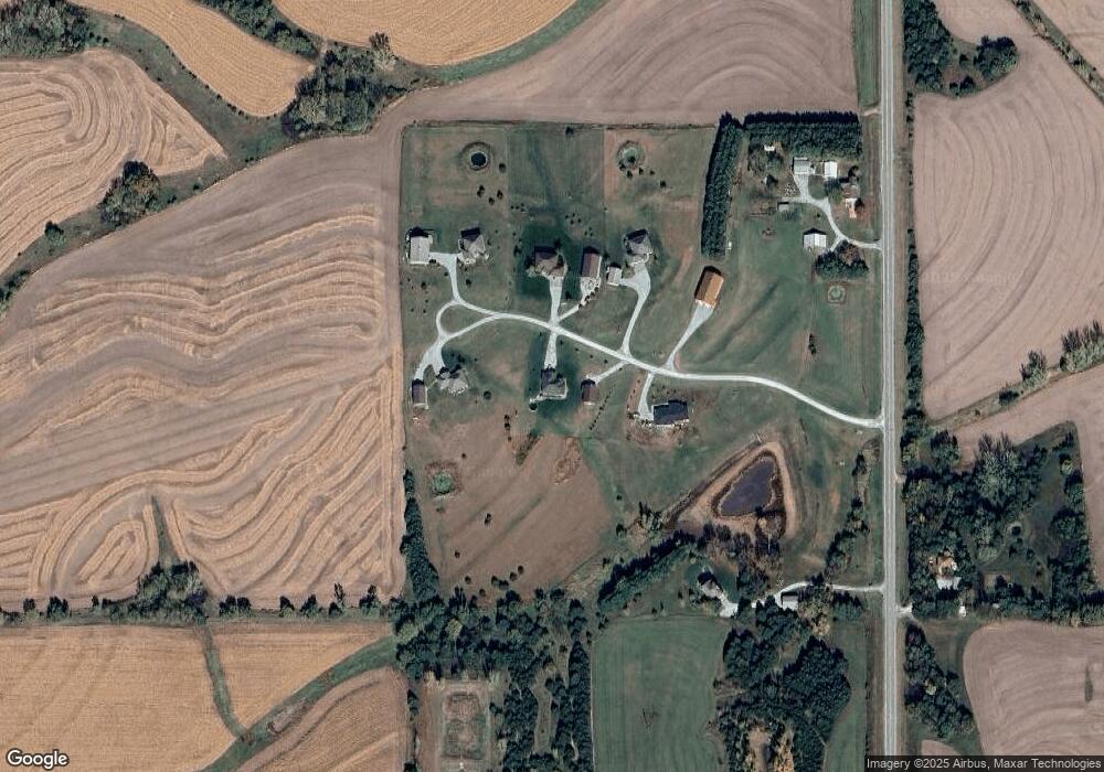
Map
Nearby Homes
- 2212 S 96th Rd
- 9929 Springlake North Ln
- 9433 E 2nd St
- 600 Russell
- 32.73 Acres, Firth Rd
- 29100 S 120th St
- 26400 Iron Horse Ct
- 0 Hwy 77 & W 4th St
- 28405 SW 2nd St
- 230 8th St
- 837 Ash St
- 22305 S 96th St
- 22475 S 110th St
- 23700 S 148th St
- 1712 E 12th St
- 6440 Bass Creek Ct
- 20050 S 96th St
- 109 Concord Ave
- 102 Walnut St
- 19720 Long View Ln
- 7700 Bowman Cir
- 7535 Bowman Cir
- 7900 Bowman Cir
- 34 Hwy Bowman Cir
- 0 0 Bowman Circle {L6}
- 0 0 Bowman Circle {L4}
- 0 0 Bowman Circle {L7}
- 0 0 Bowman Circle {L3}
- 0 0 Bowman Circle {L5}
- 0 0 Bowman Circle {L2}
- 0 0 Bowman Circle {L1}
- 7775 Bowman Cir
- 8035 Bowman Cir
- 8100 Bowman Cir
- 2137 State Highway Spur 34b
- 2098 State Highway Spur 34b
- 8066 E Apple Rd
- 2349 State Highway Spur 34b
- 2349 State Highway Spur 34b Spur
- 9001 E Apple Rd
Your Personal Tour Guide
Ask me questions while you tour the home.