7500 Highway 32 E Hortense, GA 31543
Estimated Value: $88,000 - $349,471
3
Beds
5
Baths
2,304
Sq Ft
$102/Sq Ft
Est. Value
About This Home
This home is located at 7500 Highway 32 E, Hortense, GA 31543 and is currently estimated at $233,868, approximately $101 per square foot. 7500 Highway 32 E is a home with nearby schools including Nahunta Primary School, Nahunta Elementary School, and Brantley County Middle School.
Ownership History
Date
Name
Owned For
Owner Type
Purchase Details
Closed on
May 15, 2007
Sold by
Camp Christopher J
Bought by
Nobleheart Llc
Current Estimated Value
Purchase Details
Closed on
May 6, 2005
Sold by
Smith Enoch
Bought by
Camp Chris
Create a Home Valuation Report for This Property
The Home Valuation Report is an in-depth analysis detailing your home's value as well as a comparison with similar homes in the area
Home Values in the Area
Average Home Value in this Area
Purchase History
| Date | Buyer | Sale Price | Title Company |
|---|---|---|---|
| Nobleheart Llc | $100,000 | -- | |
| Camp Chris | $28,000 | -- |
Source: Public Records
Tax History Compared to Growth
Tax History
| Year | Tax Paid | Tax Assessment Tax Assessment Total Assessment is a certain percentage of the fair market value that is determined by local assessors to be the total taxable value of land and additions on the property. | Land | Improvement |
|---|---|---|---|---|
| 2024 | $2,329 | $73,456 | $14,574 | $58,882 |
| 2023 | $2,289 | $72,131 | $13,249 | $58,882 |
| 2022 | $2,167 | $67,778 | $13,249 | $54,529 |
| 2021 | $1,795 | $54,116 | $13,249 | $40,867 |
| 2020 | $1,852 | $54,116 | $13,249 | $40,867 |
| 2019 | $1,850 | $54,116 | $13,249 | $40,867 |
| 2018 | $0 | $53,342 | $17,512 | $35,830 |
| 2017 | $0 | $49,636 | $17,512 | $32,124 |
| 2016 | $1,699 | $49,636 | $17,512 | $32,124 |
| 2015 | -- | $26,360 | $17,512 | $8,848 |
Source: Public Records
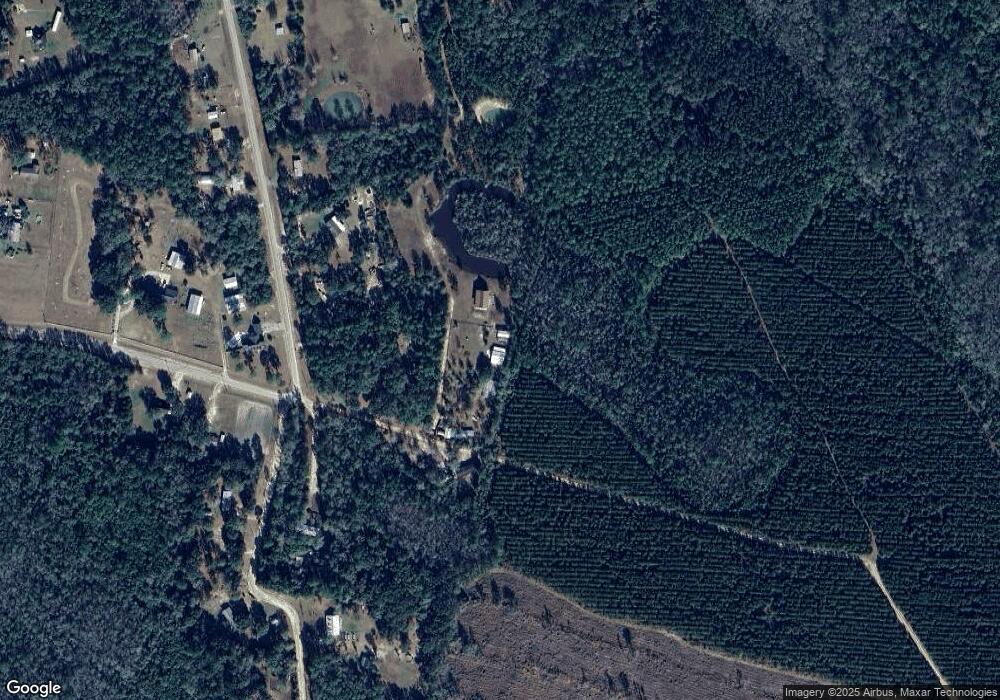
Map
Nearby Homes
- 603 Cumberland Rd
- 559 Cumberland Rd
- 255 Spell Landing Rd
- 17082 Hwy 341
- 6911 Old Hortense Rd
- 0 Johns Rd
- 0 Humpback Rd
- 18583 Raybon Rd E
- 771 Heritage Cir
- 11211 Georgia 110
- 13929 Raybon Rd E
- 45 Heritage Cir
- 0 Heritage Cir Unit 1655955
- 0 Heritage Cir Unit 1656067
- 0 Heritage Cir Unit 1655952
- 0 Heritage Cir Unit 1656069
- 0 Heritage Cir Unit 1656065
- 14375 Hwy 301 N
- 0 Roberson Rd
- 0 Roberson Rd Unit 21711381
- 952 Cumberland Rd
- 7448 Highway 32 E
- 1018 Cumberland Rd
- 943 Cumberland Rd
- 7514 Highway 32 E
- 777 Cumberland Rd
- 971 Cumberland Rd
- 7362 Highway 32 E
- 7448 Cumberland Rd
- 681 Cumberland Rd
- 70 Maggie Ln
- 726 Cumberland Rd
- 7459 Highway 32 E
- 844 Sawgrass Rd
- 7459 Highway 32 E
- 7222 Highway 32 E
- 597 Cumberland Rd
- 155 Spell Landing Rd
- 806 Sawgrass Rd
- 122 Spell Landing Rd