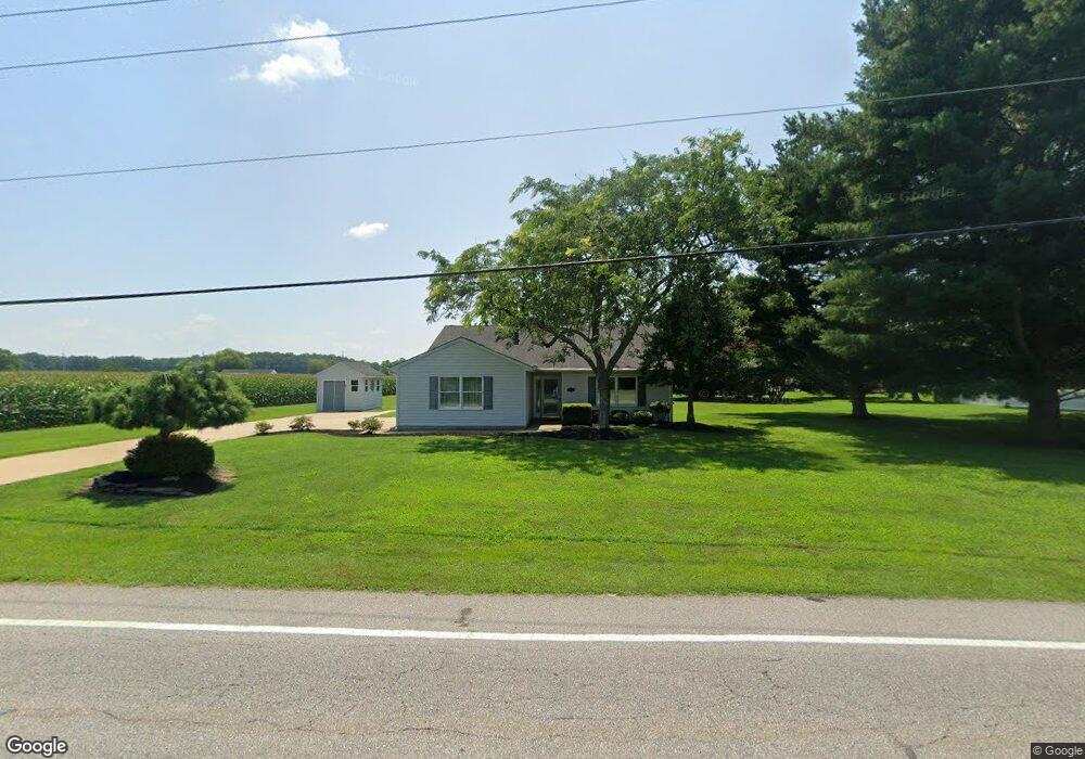
7500 Main St Queenstown, MD 21658
Estimated Value: $375,000 - $418,000
--
Bed
2
Baths
1,552
Sq Ft
$253/Sq Ft
Est. Value
About This Home
This home is located at 7500 Main St, Queenstown, MD 21658 and is currently estimated at $392,500, approximately $252 per square foot. 7500 Main St is a home located in Queen Anne's County with nearby schools including Kennard Elementary School, Centreville Middle School, and Queen Anne's County High School.
Ownership History
Date
Name
Owned For
Owner Type
Purchase Details
Closed on
Feb 20, 2024
Sold by
Cole Constance B
Bought by
Cole Edwin Lane and Cole Constance B
Current Estimated Value
Purchase Details
Closed on
Dec 8, 2021
Sold by
Olde Point Builders Inc
Bought by
Cole Constance B and Burns Janice Faye
Purchase Details
Closed on
Jul 22, 1997
Sold by
Olde Point Builders Inc
Bought by
Cole Constance B and Cole Janice Faye
Create a Home Valuation Report for This Property
The Home Valuation Report is an in-depth analysis detailing your home's value as well as a comparison with similar homes in the area
Home Values in the Area
Average Home Value in this Area
Purchase History
| Date | Buyer | Sale Price | Title Company |
|---|---|---|---|
| Cole Edwin Lane | -- | None Listed On Document | |
| Cole Constance B | -- | None Listed On Document | |
| Cole Edwin Lane | -- | None Listed On Document | |
| Cole Constance B | -- | None Available | |
| Cole Constance B | $130,900 | -- |
Source: Public Records
Mortgage History
| Date | Status | Borrower | Loan Amount |
|---|---|---|---|
| Closed | Cole Constance B | -- |
Source: Public Records
Tax History Compared to Growth
Tax History
| Year | Tax Paid | Tax Assessment Tax Assessment Total Assessment is a certain percentage of the fair market value that is determined by local assessors to be the total taxable value of land and additions on the property. | Land | Improvement |
|---|---|---|---|---|
| 2025 | $705 | $278,133 | $0 | $0 |
| 2024 | $664 | $266,200 | $130,800 | $135,400 |
| 2023 | $3,007 | $256,300 | $0 | $0 |
| 2022 | $2,867 | $246,400 | $0 | $0 |
| 2021 | $2,523 | $236,500 | $97,000 | $139,500 |
| 2020 | $2,523 | $233,300 | $0 | $0 |
| 2019 | $2,608 | $230,100 | $0 | $0 |
| 2018 | $2,568 | $226,900 | $97,000 | $129,900 |
| 2017 | $2,562 | $225,433 | $0 | $0 |
| 2016 | -- | $223,967 | $0 | $0 |
| 2015 | $2,420 | $222,500 | $0 | $0 |
| 2014 | $2,420 | $222,500 | $0 | $0 |
Source: Public Records
Map
Nearby Homes
- 7204 Main St
- 108 Wall St
- 100 Wall St
- 0 U S 301
- 6915 Main St
- 128 Aker Rd
- 248 Harbor Ln
- 108 Carriage Ln
- 315 Nottingham Ln
- 103 Trevors Ct
- 915 Sportsman Neck Rd
- 213 Slippery Hill Ln
- 149 Unit 141155 SAWMILL Lane
- 201 Sawmill Ln
- 0 Hess Frontage Rd
- 141 Sawmill Ln
- 111 Mt Mills Ln
- 149 Sawmill Ln
- 155 Sawmill Ln
- 149,141,155 Sawmill Ln
- 7408 Main St
- 7404 Main St
- 238 Olde Point Ln
- 235 Olde Point Ln
- 7400 Main St
- 232 Olde Point Ln
- 227 Olde Point Ln
- 7320 Main St
- 228 Olde Point Ln
- 7401 Main St
- 223 Olde Point Ln
- 7316 Main St
- 224 Olde Point Ln
- 114 Wick Ct
- 220 Olde Point Ln
- 110 Wick Ct
- 7312 Main St
- 211 Olde Point Ln
- 118 Wick Ct
- 7305 Main St