7500 New Authon Rd Weatherford, TX 76088
Estimated Value: $323,000
--
Bed
--
Bath
1,296
Sq Ft
$249/Sq Ft
Est. Value
About This Home
This home is located at 7500 New Authon Rd, Weatherford, TX 76088 and is currently estimated at $323,000, approximately $249 per square foot. 7500 New Authon Rd is a home located in Parker County with nearby schools including Garner Elementary School.
Ownership History
Date
Name
Owned For
Owner Type
Purchase Details
Closed on
Jan 5, 2009
Sold by
King Kenneth R
Bought by
King Larry B
Current Estimated Value
Purchase Details
Closed on
Dec 1, 2000
Sold by
King Kenneth R and King Bonnie
Bought by
King Larry B
Purchase Details
Closed on
Sep 19, 2000
Sold by
King Delmar Lee and King Martha J
Bought by
King Larry B
Purchase Details
Closed on
Nov 8, 1993
Bought by
King Larry B
Purchase Details
Closed on
Jan 1, 1901
Bought by
King Larry B
Create a Home Valuation Report for This Property
The Home Valuation Report is an in-depth analysis detailing your home's value as well as a comparison with similar homes in the area
Home Values in the Area
Average Home Value in this Area
Purchase History
| Date | Buyer | Sale Price | Title Company |
|---|---|---|---|
| King Larry B | -- | None Available | |
| King Larry B | -- | -- | |
| King Larry B | -- | -- | |
| King Larry B | -- | -- | |
| King Larry B | -- | -- |
Source: Public Records
Tax History Compared to Growth
Tax History
| Year | Tax Paid | Tax Assessment Tax Assessment Total Assessment is a certain percentage of the fair market value that is determined by local assessors to be the total taxable value of land and additions on the property. | Land | Improvement |
|---|---|---|---|---|
| 2025 | $569 | $132,190 | $25,000 | $107,190 |
| 2024 | $569 | $136,880 | $9,000 | $127,880 |
| 2023 | $569 | $109,820 | $0 | $0 |
| 2022 | $1,555 | $102,310 | $9,000 | $93,310 |
| 2021 | $1,583 | $102,310 | $9,000 | $93,310 |
| 2020 | $1,436 | $82,510 | $7,000 | $75,510 |
| 2019 | $1,409 | $82,510 | $7,000 | $75,510 |
| 2018 | $1,289 | $79,340 | $5,000 | $74,340 |
| 2017 | $1,189 | $79,340 | $5,000 | $74,340 |
| 2016 | $1,081 | $63,190 | $4,500 | $58,690 |
| 2015 | $679 | $63,190 | $4,500 | $58,690 |
| 2014 | $708 | $47,050 | $4,500 | $42,550 |
Source: Public Records
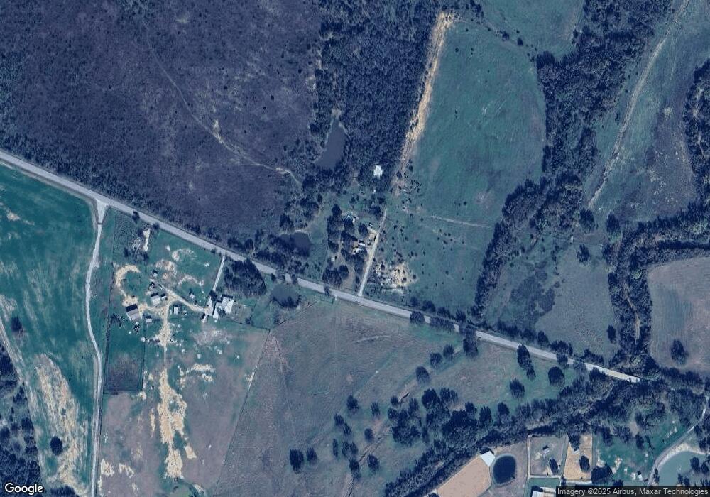
Map
Nearby Homes
- 201 Threatt Ln
- 6915 Fm 1885
- 225 Jefferson Way
- 6500 Fm Rd Unit 1885
- 209 Jefferson Way
- 101 Norene Ln
- 308 Rickys Rd
- 309 Rickys Rd
- 312 Rickys Rd
- 201 Jefferson Way
- 105 Norene Ln
- 1012 Freedom Ct
- 0 Tbd Old Authon Rd
- 412 Adell Cir
- 1029 Freedom Ct
- 431 Advance Rd
- 555 Advance Rd
- 2025 Liberty Ct
- 5686 New Authon Rd
- 108 Stafford Trail
- 7601 New Authon Rd
- 7693 New Authon Rd
- 7297 New Authon Rd
- 4518 Garner Adell Rd
- TBD Lot #1garner Adell
- 1605 Garner Adell Rd
- 6910 New Authon Rd
- 4510 Garner Adell Rd
- 4852 Garner Rd
- 601 Pamela Kay Ln
- 393 Garner- Adell Rd
- TBD Lot 2 Garner- Adell Rd
- TBD Lot 3 Garner- Adell Rd
- 5000 Garner- Adell Rd
- Lot 9 Ryker Ridge Garner- Adell Rd
- Lot 10 Ryker Ridge Garner- Adell Rd
- Lot 10 Garner- Adell Rd
- Lot 10 TBD Garner- Adell Rd
- TBD Garner- Adell Rd
- 3960 Garner Adell Rd