7501 New Port Rd Mount Airy, MD 21771
Estimated Value: $409,000 - $513,330
--
Bed
--
Bath
1,530
Sq Ft
$288/Sq Ft
Est. Value
About This Home
This home is located at 7501 New Port Rd, Mount Airy, MD 21771 and is currently estimated at $441,333, approximately $288 per square foot. 7501 New Port Rd is a home located in Carroll County with nearby schools including Parr's Ridge Elementary School, Mount Airy Elementary School, and Mount Airy Middle School.
Ownership History
Date
Name
Owned For
Owner Type
Purchase Details
Closed on
Oct 12, 2018
Sold by
Blanton Barbara Elaine Hatfield and Blanton Thomas
Bought by
Hare Kimberly D
Current Estimated Value
Home Financials for this Owner
Home Financials are based on the most recent Mortgage that was taken out on this home.
Original Mortgage
$251,230
Outstanding Balance
$219,554
Interest Rate
4.6%
Mortgage Type
New Conventional
Estimated Equity
$221,779
Purchase Details
Closed on
Sep 7, 2004
Sold by
Thomas Blanton
Bought by
Thomas Blanton and Blanton Barbara E Hatfield
Purchase Details
Closed on
Apr 12, 1990
Sold by
Blanton Nancy Lee
Bought by
Blanton Barbara Elaine Hatfield
Create a Home Valuation Report for This Property
The Home Valuation Report is an in-depth analysis detailing your home's value as well as a comparison with similar homes in the area
Home Values in the Area
Average Home Value in this Area
Purchase History
| Date | Buyer | Sale Price | Title Company |
|---|---|---|---|
| Hare Kimberly D | $259,000 | Liberty Title & Escrow Of Ma | |
| Thomas Blanton | -- | -- | |
| Blanton Barbara Elaine Hatfield | $37,000 | -- |
Source: Public Records
Mortgage History
| Date | Status | Borrower | Loan Amount |
|---|---|---|---|
| Open | Hare Kimberly D | $251,230 |
Source: Public Records
Tax History Compared to Growth
Tax History
| Year | Tax Paid | Tax Assessment Tax Assessment Total Assessment is a certain percentage of the fair market value that is determined by local assessors to be the total taxable value of land and additions on the property. | Land | Improvement |
|---|---|---|---|---|
| 2025 | $3,897 | $360,667 | $0 | $0 |
| 2024 | $3,897 | $342,600 | $228,700 | $113,900 |
| 2023 | $3,754 | $329,833 | $0 | $0 |
| 2022 | $3,611 | $317,067 | $0 | $0 |
| 2021 | $7,117 | $304,300 | $188,700 | $115,600 |
| 2020 | $3,450 | $299,967 | $0 | $0 |
| 2019 | $3,010 | $295,633 | $0 | $0 |
| 2018 | $3,350 | $291,300 | $188,700 | $102,600 |
| 2017 | $3,309 | $290,733 | $0 | $0 |
| 2016 | -- | $290,167 | $0 | $0 |
| 2015 | -- | $289,600 | $0 | $0 |
| 2014 | -- | $289,600 | $0 | $0 |
Source: Public Records
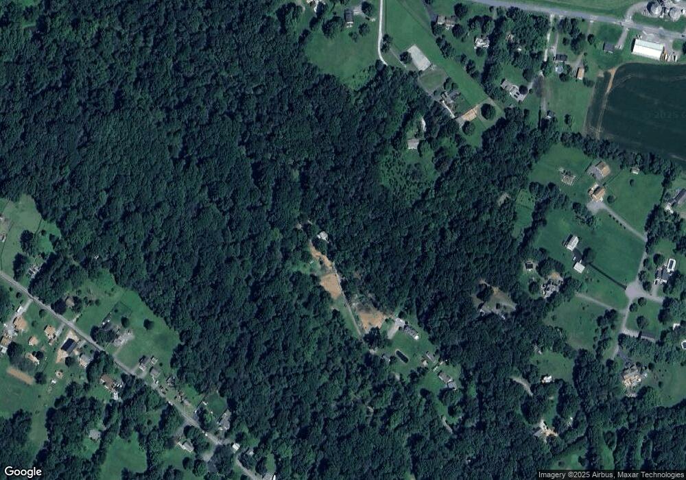
Map
Nearby Homes
- 7636 Woodbine Rd
- 7326 John Pickett Rd
- 7330 Woodbine Rd
- 16365 Camalo Dr
- 7046 Woodbine Rd
- 7460 Porter Dr
- 921 Lady Anne Ct
- 869 Morgan Station Rd
- 1277 Hoods Mill Rd
- 7401 Watersville Rd
- 16657 Frederick Rd
- 15904 Frederick Rd
- 1227 Cartley Ct
- 15620 Linden Grove Ln
- 1656 Daisy Rd
- 7939 Old Washington Rd
- 6270 Davis Rd
- 6119 Davis Rd
- 1280 Saint Michaels Rd
- 1840 Daisy Rd
- 7601 New Port Rd
- 7529 New Port Rd
- 2030 Flag Marsh Rd
- 7607 New Port Rd
- 2050 Flag Marsh Rd
- 7631 Newport Rd
- 2060 Flag Marsh Rd
- 7629 Newport Rd
- 2029 Flag Marsh Rd
- 7501 Newport Rd
- 2037 Flag Marsh Rd
- 2056 Flag Marsh Rd
- 1841 Gum Rd
- 2100 Flag Marsh Rd
- 2066 Flag Marsh Rd
- 2015 Flag Marsh Rd
- 2039 Flag Marsh Rd
- 18009 Gum Rd
- 2071 Flag Marsh Rd
- LOT 2 Flag Marsh Rd