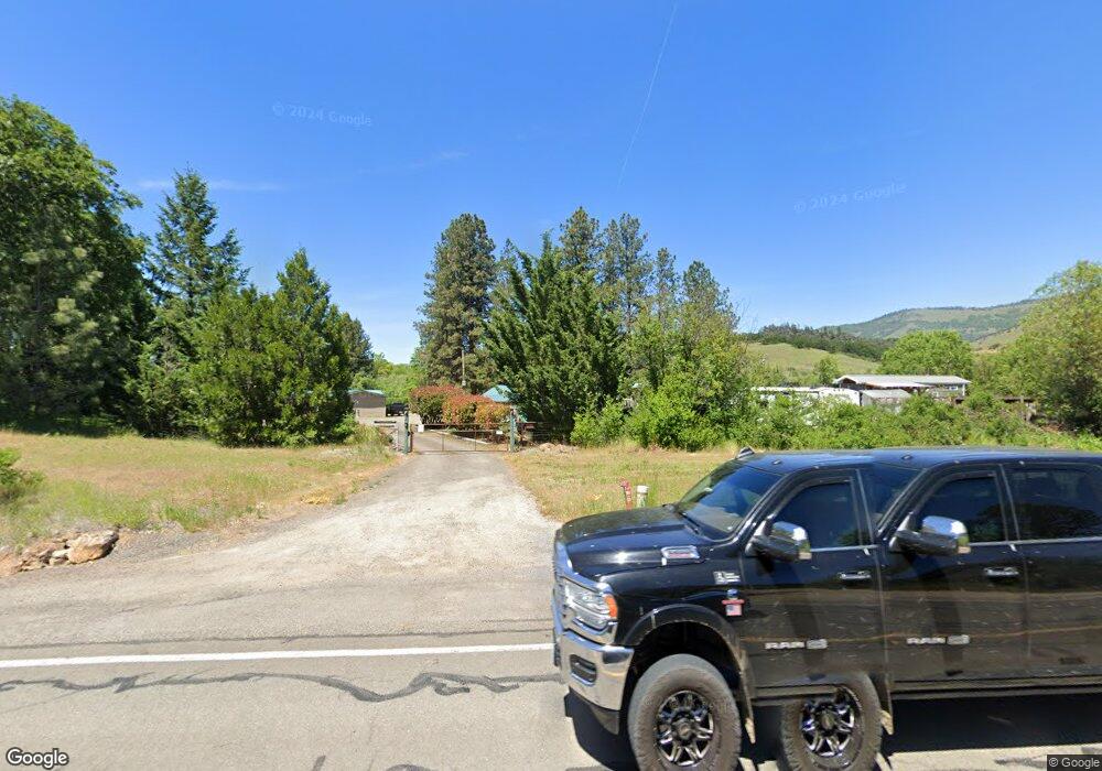
7505 Highway 66 Ashland, OR 97520
Estimated Value: $532,474 - $578,000
2
Beds
1
Bath
1,557
Sq Ft
$356/Sq Ft
Est. Value
About This Home
This home is located at 7505 Highway 66, Ashland, OR 97520 and is currently estimated at $554,491, approximately $356 per square foot. 7505 Highway 66 is a home located in Jackson County with nearby schools including Bellview Elementary School, Ashland Middle School, and Ashland High School.
Ownership History
Date
Name
Owned For
Owner Type
Purchase Details
Closed on
Feb 24, 2022
Sold by
Brown James B
Bought by
Brown Revocable Living Trust
Current Estimated Value
Purchase Details
Closed on
Feb 29, 2008
Sold by
Steinbergs John and Sky Haiku
Bought by
Brown James G and Brown Janice S
Create a Home Valuation Report for This Property
The Home Valuation Report is an in-depth analysis detailing your home's value as well as a comparison with similar homes in the area
Home Values in the Area
Average Home Value in this Area
Purchase History
| Date | Buyer | Sale Price | Title Company |
|---|---|---|---|
| Brown Revocable Living Trust | $102,000 | None Listed On Document | |
| Brown James G | $137,000 | Lawyers Title Ins |
Source: Public Records
Tax History Compared to Growth
Tax History
| Year | Tax Paid | Tax Assessment Tax Assessment Total Assessment is a certain percentage of the fair market value that is determined by local assessors to be the total taxable value of land and additions on the property. | Land | Improvement |
|---|---|---|---|---|
| 2025 | $6,147 | $442,350 | $226,520 | $215,830 |
| 2024 | $6,147 | $429,470 | $297,400 | $132,070 |
| 2023 | $5,987 | $416,970 | $288,750 | $128,220 |
| 2022 | $5,829 | $416,970 | $288,750 | $128,220 |
| 2021 | $5,475 | $404,830 | $280,340 | $124,490 |
| 2020 | $5,110 | $393,040 | $272,180 | $120,860 |
| 2019 | $5,115 | $370,490 | $256,570 | $113,920 |
| 2018 | $4,731 | $359,700 | $249,100 | $110,600 |
| 2017 | $4,683 | $359,700 | $249,100 | $110,600 |
| 2016 | $4,462 | $339,060 | $234,810 | $104,250 |
| 2015 | $4,477 | $345,400 | $218,420 | $126,980 |
| 2014 | $4,346 | $325,580 | $205,890 | $119,690 |
Source: Public Records
Map
Nearby Homes
- 1694 Old Siskiyou Hwy
- 2345 Old Greensprings Hwy
- 700 Neil Creek Rd
- 3727 Old Hwy 99 S
- 855 Reiten Dr
- 4890 Highway 66
- 3721 Old Highway 99 S
- 4260 Clayton Rd
- 5293 Oregon 66
- 3729 Old Highway 99 S
- 492 Conifer Way
- 0 Timberlake Dr Unit 391E25 132 220208170
- 420 Reiten Dr
- 0 Old Hwy 99 Unit 220199869
- 4492 Old Highway 99 S
- 899 Timberlake Dr
- 500 Conifer Way
- 5010 Old Highway 99 S
- 694 Timberlake Dr
- 30 Steinman Dr
- 7583 Hwy 66
- 7583 Highway 66
- 7603 Highway 66
- 7500 Highway 66
- 7345 Hwy 66
- 1133 Old Highway 99 S
- 0 Hwy 66 Old Hwy 99 Unit 9043752
- 1251 S Old 99 Hwy
- 1121 Old Highway 99 S
- 1121 Old Hwy 99 S
- 1251 Old Highway 99 S
- 1251 Old Siskiyou Hwy
- 1135 Old Highway 99 S
- 7528 Highway 66
- 1050 Old Highway 99 S
- 1050 Old Siskiyou Hwy
- 1086 S Old 99 Hwy
- 1086 Old 99 Hwy
- 1139 Old Highway 99 S
- 1128 Old Highway 99 S