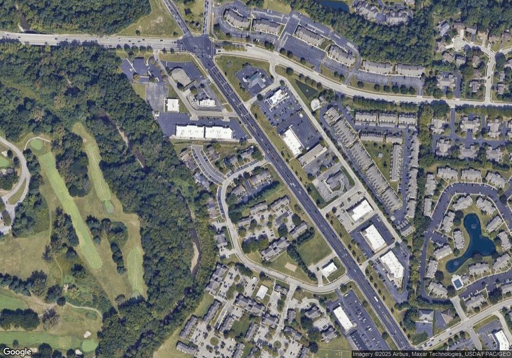
7505 Stonetrail Way Reynoldsburg, OH 43068
Estimated Value: $180,000 - $198,683
3
Beds
2
Baths
1,240
Sq Ft
$153/Sq Ft
Est. Value
About This Home
This home is located at 7505 Stonetrail Way, Reynoldsburg, OH 43068 and is currently estimated at $189,171, approximately $152 per square foot. 7505 Stonetrail Way is a home located in Franklin County with nearby schools including Slate Ridge Elementary School, Hannah J Ashton Middle School, and Baldwin Road Junior High School.
Ownership History
Date
Name
Owned For
Owner Type
Purchase Details
Closed on
Sep 15, 2003
Sold by
Fitzpatrick Brian C and Fitzpatrick Tara K
Bought by
Tope Debra A
Current Estimated Value
Home Financials for this Owner
Home Financials are based on the most recent Mortgage that was taken out on this home.
Original Mortgage
$85,818
Outstanding Balance
$40,057
Interest Rate
6.33%
Mortgage Type
FHA
Estimated Equity
$149,114
Purchase Details
Closed on
Oct 26, 1994
Sold by
Betty R Eads Trst
Bought by
Brian C Fitzpatrick
Home Financials for this Owner
Home Financials are based on the most recent Mortgage that was taken out on this home.
Original Mortgage
$44,489
Interest Rate
8.68%
Mortgage Type
FHA
Purchase Details
Closed on
Mar 25, 1992
Purchase Details
Closed on
Aug 28, 1990
Create a Home Valuation Report for This Property
The Home Valuation Report is an in-depth analysis detailing your home's value as well as a comparison with similar homes in the area
Home Values in the Area
Average Home Value in this Area
Purchase History
| Date | Buyer | Sale Price | Title Company |
|---|---|---|---|
| Tope Debra A | $86,500 | Amerititle East | |
| Brian C Fitzpatrick | $49,000 | -- | |
| -- | -- | -- | |
| -- | -- | -- |
Source: Public Records
Mortgage History
| Date | Status | Borrower | Loan Amount |
|---|---|---|---|
| Open | Tope Debra A | $85,818 | |
| Previous Owner | Brian C Fitzpatrick | $44,489 |
Source: Public Records
Tax History Compared to Growth
Tax History
| Year | Tax Paid | Tax Assessment Tax Assessment Total Assessment is a certain percentage of the fair market value that is determined by local assessors to be the total taxable value of land and additions on the property. | Land | Improvement |
|---|---|---|---|---|
| 2024 | $2,453 | $47,920 | $13,650 | $34,270 |
| 2023 | $2,342 | $47,920 | $13,650 | $34,270 |
| 2022 | $1,865 | $28,880 | $6,060 | $22,820 |
| 2021 | $1,873 | $28,880 | $6,060 | $22,820 |
| 2020 | $1,911 | $28,880 | $6,060 | $22,820 |
| 2019 | $1,822 | $24,960 | $5,250 | $19,710 |
| 2018 | $1,870 | $24,960 | $5,250 | $19,710 |
| 2017 | $1,901 | $24,960 | $5,250 | $19,710 |
| 2016 | $1,980 | $24,260 | $3,640 | $20,620 |
| 2015 | $1,919 | $24,260 | $3,640 | $20,620 |
| 2014 | $1,927 | $24,260 | $3,640 | $20,620 |
| 2013 | $938 | $24,255 | $3,640 | $20,615 |
Source: Public Records
Map
Nearby Homes
- 7645 Redman Ln
- 7607 Palmer Rd SW
- 1849 Drugan Ct SW
- 1744 Graham Rd
- 1788 Leighton Dr
- 1890 Lockmere Ct
- 7832 Country Brook Ln
- 1545 Alar Ave
- 7933 Meadowlark Ln S Unit 7933
- 1561 Haft Dr
- 7487 E Main St
- 7682 E Main St
- 0 Oak Valley Rd Unit 5148458
- 0 Oak Valley Rd Unit Lot 4, 1.088 ac.
- 1496 Mariner Dr
- 7961 Oak Valley Rd
- 1350 Azalea Dr Unit 1350
- 210 Estates Ln
- 214 Estates Ln
- 258 Baron Ct
- 7503 Stonetrail Way
- 7509 Stonetrail Way
- 7511 Stonetrail Way
- 7501 Stonetrail Way
- 7513 Stonetrail Way
- 7499 Stonetrail Way
- 7497 Stonetrail Way
- 7508 Stonetrail Way
- 7506 Stonetrail Way
- 7510 Stonetrail Way
- 7512 Stonetrail Way
- 7502 Stonetrail Way
- 7495 Stonetrail Way
- 7500 Stonetrail Way
- 7498 Stonetrail Way
- 1971 Old Highbanks Ct
- 1956 Old Highbanks Ct
- 7496 Stonetrail Way
- 7494 Stonetrail Way
- 1954 Old Highbanks Ct
