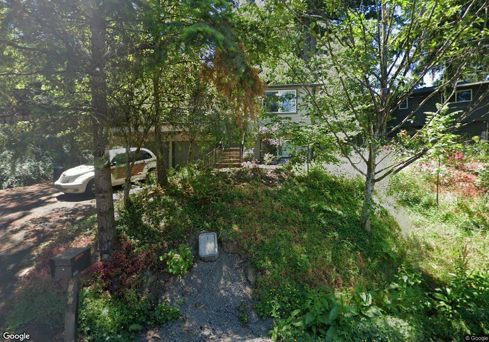
7505 SW 17th Dr Portland, OR 97219
Hillsdale NeighborhoodEstimated Value: $494,000 - $559,000
4
Beds
2
Baths
764
Sq Ft
$691/Sq Ft
Est. Value
About This Home
This home is located at 7505 SW 17th Dr, Portland, OR 97219 and is currently estimated at $528,234, approximately $691 per square foot. 7505 SW 17th Dr is a home located in Multnomah County with nearby schools including Rieke Elementary School, Robert Gray Middle School, and Ida B. Wells-Barnett High School.
Ownership History
Date
Name
Owned For
Owner Type
Purchase Details
Closed on
May 19, 2011
Sold by
Denman Sharon K
Bought by
Richards William A and Denman Sharon K
Current Estimated Value
Home Financials for this Owner
Home Financials are based on the most recent Mortgage that was taken out on this home.
Original Mortgage
$176,000
Outstanding Balance
$121,463
Interest Rate
4.73%
Mortgage Type
New Conventional
Estimated Equity
$406,771
Purchase Details
Closed on
Jun 5, 1998
Sold by
Coon Darla J and Neiss Darla J
Bought by
Denman Sharon K and Richards William A
Home Financials for this Owner
Home Financials are based on the most recent Mortgage that was taken out on this home.
Original Mortgage
$110,400
Interest Rate
7.1%
Mortgage Type
Purchase Money Mortgage
Purchase Details
Closed on
Jan 22, 1996
Sold by
Coon Darla J
Bought by
Coon Clarence C and Coon Darla J
Home Financials for this Owner
Home Financials are based on the most recent Mortgage that was taken out on this home.
Original Mortgage
$97,500
Interest Rate
7.18%
Mortgage Type
Purchase Money Mortgage
Create a Home Valuation Report for This Property
The Home Valuation Report is an in-depth analysis detailing your home's value as well as a comparison with similar homes in the area
Home Values in the Area
Average Home Value in this Area
Purchase History
| Date | Buyer | Sale Price | Title Company |
|---|---|---|---|
| Richards William A | -- | None Available | |
| Denman Sharon K | $138,000 | Oregon Title Insurance Co | |
| Coon Clarence C | -- | Chicago Title |
Source: Public Records
Mortgage History
| Date | Status | Borrower | Loan Amount |
|---|---|---|---|
| Open | Richards William A | $176,000 | |
| Closed | Denman Sharon K | $110,400 | |
| Previous Owner | Coon Clarence C | $97,500 |
Source: Public Records
Tax History Compared to Growth
Tax History
| Year | Tax Paid | Tax Assessment Tax Assessment Total Assessment is a certain percentage of the fair market value that is determined by local assessors to be the total taxable value of land and additions on the property. | Land | Improvement |
|---|---|---|---|---|
| 2024 | $6,537 | $244,540 | -- | -- |
| 2023 | $6,285 | $237,420 | $0 | $0 |
| 2022 | $6,149 | $230,510 | $0 | $0 |
| 2021 | $6,045 | $223,800 | $0 | $0 |
| 2020 | $5,546 | $217,290 | $0 | $0 |
| 2019 | $5,342 | $210,970 | $0 | $0 |
| 2018 | $5,185 | $204,830 | $0 | $0 |
| 2017 | $4,969 | $198,870 | $0 | $0 |
| 2016 | $4,548 | $193,080 | $0 | $0 |
| 2015 | $4,325 | $187,460 | $0 | $0 |
| 2014 | $3,896 | $182,000 | $0 | $0 |
Source: Public Records
Map
Nearby Homes
- 1739 SW Logan St
- 1834 SW Miles St
- 7820 SW 17th Dr
- 7290 SW 13th Ave
- 7308 SW 13th Dr
- 7131 SW 12th Ave
- 7898 SW Capitol Hill Rd
- 2119 SW Nevada Ct
- 2320 SW Canby Ct
- 6936 SW 15th Ave
- 8046 SW Capitol Hill Rd
- 8040 SW Capitol Hill Rd
- 1613 SW Hume Ct
- 1515 SW Carson St
- 6868 SW 12th Dr
- 6835 SW Capitol Hill Rd Unit 36
- 8115 SW 10th Ave
- 1380 SW Carson St
- 2601 SW Troy St
- 2612 SW Moss St
- 1610 SW Logan St
- 1633 SW Custer St
- 1641 SW Custer St
- 1612 SW Logan St
- 1621 SW Custer St
- 1643 SW Custer St
- 7506 SW 17th Dr
- 7450 SW 17th Dr
- 1703 SW Custer St
- 7450 SW 17 Dr
- 7442 SW 17th Dr
- 1620 SW Logan St
- 7520 SW 17th Dr
- 1711 SW Custer St
- 7528 SW 17th Dr
- 1638 SW Logan St
- 1717 SW Custer St
- 7435 SW 17th Dr
- 7420 SW 17th Dr
- 7420 SW 17 Dr