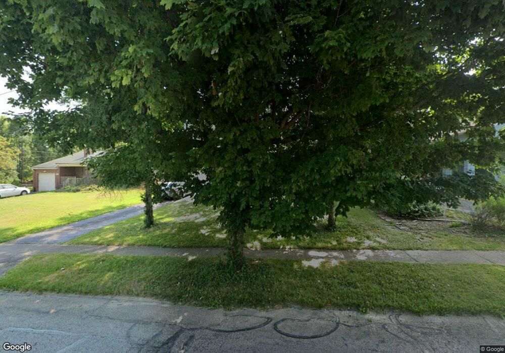
7506 Forest Ave Cincinnati, OH 45231
Estimated Value: $166,000 - $205,000
2
Beds
2
Baths
1,180
Sq Ft
$157/Sq Ft
Est. Value
About This Home
This home is located at 7506 Forest Ave, Cincinnati, OH 45231 and is currently estimated at $184,735, approximately $156 per square foot. 7506 Forest Ave is a home located in Hamilton County with nearby schools including Mt Healthy High School, Central Montessori Academy, and Our Lady of Grace Catholic School.
Ownership History
Date
Name
Owned For
Owner Type
Purchase Details
Closed on
Dec 4, 2003
Sold by
Brunswick John C
Bought by
Dargis James M
Current Estimated Value
Home Financials for this Owner
Home Financials are based on the most recent Mortgage that was taken out on this home.
Original Mortgage
$92,000
Outstanding Balance
$41,661
Interest Rate
6.01%
Mortgage Type
Unknown
Estimated Equity
$143,074
Purchase Details
Closed on
Nov 4, 2002
Sold by
Broband Enterprises Inc
Bought by
Brunswick John C
Home Financials for this Owner
Home Financials are based on the most recent Mortgage that was taken out on this home.
Original Mortgage
$71,920
Interest Rate
5.5%
Create a Home Valuation Report for This Property
The Home Valuation Report is an in-depth analysis detailing your home's value as well as a comparison with similar homes in the area
Home Values in the Area
Average Home Value in this Area
Purchase History
| Date | Buyer | Sale Price | Title Company |
|---|---|---|---|
| Dargis James M | $94,900 | -- | |
| Brunswick John C | $89,900 | -- |
Source: Public Records
Mortgage History
| Date | Status | Borrower | Loan Amount |
|---|---|---|---|
| Open | Dargis James M | $92,000 | |
| Previous Owner | Brunswick John C | $71,920 |
Source: Public Records
Tax History
| Year | Tax Paid | Tax Assessment Tax Assessment Total Assessment is a certain percentage of the fair market value that is determined by local assessors to be the total taxable value of land and additions on the property. | Land | Improvement |
|---|---|---|---|---|
| 2025 | $2,451 | $46,743 | $9,650 | $37,093 |
| 2023 | $2,458 | $46,743 | $9,650 | $37,093 |
| 2022 | $2,128 | $28,952 | $9,457 | $19,495 |
| 2021 | $2,076 | $28,952 | $9,457 | $19,495 |
| 2020 | $2,132 | $28,952 | $9,457 | $19,495 |
| 2019 | $1,788 | $25,621 | $8,369 | $17,252 |
| 2018 | $1,800 | $25,621 | $8,369 | $17,252 |
| 2017 | $1,698 | $25,621 | $8,369 | $17,252 |
| 2016 | $1,685 | $25,106 | $7,714 | $17,392 |
| 2015 | $1,696 | $25,106 | $7,714 | $17,392 |
| 2014 | $1,686 | $25,106 | $7,714 | $17,392 |
| 2013 | $1,897 | $28,533 | $8,768 | $19,765 |
Source: Public Records
Map
Nearby Homes
- 1980 Stevens Ave
- 1965 Stevens Ave
- 7324 Maple Ave
- 9151 Tag Dr
- 1722 Stevens Ave
- 8724 Neptune Dr
- 7832 Lincoln Ave
- 8729 Morningstar Ln
- 2238 Pacora Dr
- 7718 Hamilton Ave
- 1625 Joseph Ct
- 2175 Carlsbory Dr
- 7010 Noble Ct
- 1545 Mcmakin Ave
- 6942 Gloria Dr
- 1626 Flora Ave
- 2329 Garrison Dr
- 1503 Kinney Ave
- 6961 La Boiteaux Ave
- 1500 Madison Ave
- 7514 Forest Ave
- 7440 Forest Ave
- 7438 Forest Ave
- 1993 Compton Rd
- 1997 Compton Rd
- 1989 Compton Rd
- 1985 Compton Rd
- 7436 Forest Ave
- 7434 Forest Ave
- 1975 Compton Rd
- 7435 Forest Ave
- 7428 Forest Ave
- 7429 Roettele Place
- 7433 Forest Ave
- 1986 Compton Rd
- 7429 Forest Ave
- 7424 Forest Ave
- 1971 Compton Rd
- 1982 Compton Rd
- 7425 Roettele Place
Your Personal Tour Guide
Ask me questions while you tour the home.