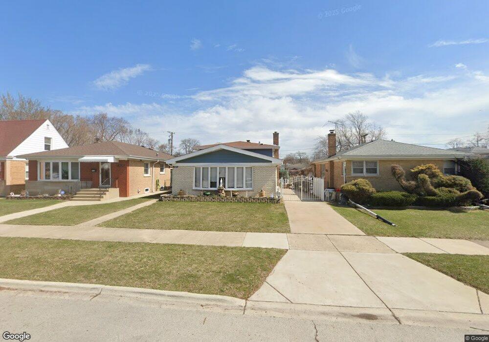
7507 Kenton Ave Skokie, IL 60076
Southeast Skokie NeighborhoodEstimated Value: $441,000 - $528,000
3
Beds
2
Baths
1,200
Sq Ft
$395/Sq Ft
Est. Value
About This Home
This home is located at 7507 Kenton Ave, Skokie, IL 60076 and is currently estimated at $473,811, approximately $394 per square foot. 7507 Kenton Ave is a home located in Cook County with nearby schools including East Prairie Elementary School, Niles North High School, and Cheder Lubavitch Hebrew Day School.
Ownership History
Date
Name
Owned For
Owner Type
Purchase Details
Closed on
Jun 30, 2021
Sold by
Huynh John
Bought by
Huynh Richard
Current Estimated Value
Purchase Details
Closed on
Nov 16, 2001
Sold by
Oraha Andy and Odeesh Shimouni
Bought by
Huynh John
Home Financials for this Owner
Home Financials are based on the most recent Mortgage that was taken out on this home.
Original Mortgage
$150,000
Interest Rate
6.64%
Create a Home Valuation Report for This Property
The Home Valuation Report is an in-depth analysis detailing your home's value as well as a comparison with similar homes in the area
Home Values in the Area
Average Home Value in this Area
Purchase History
| Date | Buyer | Sale Price | Title Company |
|---|---|---|---|
| Huynh Richard | -- | First American Title Ins Co | |
| Huynh John | $350,000 | -- |
Source: Public Records
Mortgage History
| Date | Status | Borrower | Loan Amount |
|---|---|---|---|
| Closed | Huynh John | $150,000 |
Source: Public Records
Tax History Compared to Growth
Tax History
| Year | Tax Paid | Tax Assessment Tax Assessment Total Assessment is a certain percentage of the fair market value that is determined by local assessors to be the total taxable value of land and additions on the property. | Land | Improvement |
|---|---|---|---|---|
| 2024 | $8,696 | $31,884 | $6,912 | $24,972 |
| 2023 | $9,007 | $33,264 | $6,912 | $26,352 |
| 2022 | $9,007 | $35,700 | $6,912 | $28,788 |
| 2021 | $7,137 | $25,228 | $4,864 | $20,364 |
| 2020 | $7,078 | $25,228 | $4,864 | $20,364 |
| 2019 | $8,369 | $31,708 | $4,864 | $26,844 |
| 2018 | $7,113 | $24,804 | $4,224 | $20,580 |
| 2017 | $6,460 | $24,804 | $4,224 | $20,580 |
| 2016 | $6,572 | $26,025 | $4,224 | $21,801 |
| 2015 | $5,422 | $20,384 | $3,584 | $16,800 |
| 2014 | $5,375 | $20,384 | $3,584 | $16,800 |
| 2013 | $5,744 | $21,766 | $3,584 | $18,182 |
Source: Public Records
Map
Nearby Homes
- 7638 Knox Ave
- 8146 N Kilpatrick Ave Unit 1S
- 7241 N Kilpatrick Ave
- 7245 N Kostner Ave
- 7201 N Lincoln Ave Unit 308
- 7427 Tripp Ave
- 4838 Howard St Unit 401
- 4838 Howard St Unit 301
- 7412 Keeler Ave
- 7226 N Kildare Ave
- 4545 W Touhy Ave Unit 511
- 4545 W Touhy Ave Unit 420
- 4858 W Chase Ave
- 8030 N Kenton Ave Unit 2A
- 4944 Jarvis Ave
- 7230 N Keeler Ave
- 4931 Brummel St
- 4856 Hull St
- 4907 Hull St
- 4906 Hull St
- 7511 Kenton Ave
- 4550 Birchwood Ave
- 7513 Kenton Ave
- 7519 Kenton Ave
- 7506 Kolmar Ave
- 7500 Kolmar Ave
- 4600 Birchwood Ave
- 7510 Kolmar Ave
- 7523 Kenton Ave
- 7514 Kolmar Ave
- 4535 Birchwood Ave
- 7457 Kenton Ave
- 7457 Kenton Ave
- 7518 Kolmar Ave
- 4604 Birchwood Ave
- 7527 Kenton Ave
- 7524 Kenton Ave
- 7451 Kenton Ave
- 7522 Kolmar Ave
- 7450 Kolmar Ave