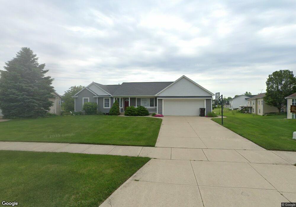
7509 Katie Ln Hudsonville, MI 49426
Estimated Value: $407,000 - $510,000
5
Beds
3
Baths
1,461
Sq Ft
$304/Sq Ft
Est. Value
About This Home
This home is located at 7509 Katie Ln, Hudsonville, MI 49426 and is currently estimated at $444,576, approximately $304 per square foot. 7509 Katie Ln is a home located in Ottawa County with nearby schools including Georgetown Elementary School, Baldwin Street Middle School, and Hudsonville Freshman Campus.
Ownership History
Date
Name
Owned For
Owner Type
Purchase Details
Closed on
Mar 14, 2005
Sold by
Pierce Brian and Pierce Nicole
Bought by
Pierce Brian and Pierce Nicole
Current Estimated Value
Home Financials for this Owner
Home Financials are based on the most recent Mortgage that was taken out on this home.
Original Mortgage
$152,000
Outstanding Balance
$78,384
Interest Rate
5.87%
Mortgage Type
Stand Alone Refi Refinance Of Original Loan
Estimated Equity
$366,192
Purchase Details
Closed on
Aug 15, 2003
Sold by
Grand Valley Investment Co Lp
Bought by
Pierce Brian and Pierce Sharon
Create a Home Valuation Report for This Property
The Home Valuation Report is an in-depth analysis detailing your home's value as well as a comparison with similar homes in the area
Home Values in the Area
Average Home Value in this Area
Purchase History
| Date | Buyer | Sale Price | Title Company |
|---|---|---|---|
| Pierce Brian | -- | Macatawa Title Services | |
| Pierce Brian | $45,900 | Metropolitan Title Company |
Source: Public Records
Mortgage History
| Date | Status | Borrower | Loan Amount |
|---|---|---|---|
| Open | Pierce Brian | $152,000 |
Source: Public Records
Tax History Compared to Growth
Tax History
| Year | Tax Paid | Tax Assessment Tax Assessment Total Assessment is a certain percentage of the fair market value that is determined by local assessors to be the total taxable value of land and additions on the property. | Land | Improvement |
|---|---|---|---|---|
| 2025 | $5,142 | $186,300 | $0 | $0 |
| 2024 | $4,722 | $185,200 | $0 | $0 |
| 2023 | $4,504 | $170,000 | $0 | $0 |
| 2022 | $4,667 | $151,100 | $0 | $0 |
| 2021 | $4,528 | $143,900 | $0 | $0 |
| 2020 | $4,475 | $138,100 | $0 | $0 |
| 2019 | $2,726 | $128,000 | $0 | $0 |
| 2018 | $2,541 | $124,200 | $0 | $0 |
| 2017 | $2,495 | $122,500 | $0 | $0 |
| 2016 | $2,481 | $113,600 | $0 | $0 |
| 2015 | $2,367 | $108,400 | $0 | $0 |
| 2014 | $2,367 | $95,700 | $0 | $0 |
Source: Public Records
Map
Nearby Homes
- 0 Baldwin St
- 4087 Baldwin St
- 3617 Teton Dr
- 7918 Westside Dr
- 3528 Tearose Dr
- 3546 Eagles Roost Trail Unit 3
- 6950 Meadowcreek Dr
- 7954 Bald Eagle Pass Unit 130
- 4101 Blair St
- 4106 Blair St
- 4663 Hidden Ridge Dr Unit lot 38
- 6701 Arlene Dr
- 4672 Lexem Dr
- 6863 Bridgeport Dr
- 7313 Valhalla Dr
- 4717 Lexem Dr Unit Lot 41
- 6821 Bridgeport Dr
- 8206 Eagle Peak Dr
- 4699 Lexem Dr
- 3544 Nobb Hill Dr