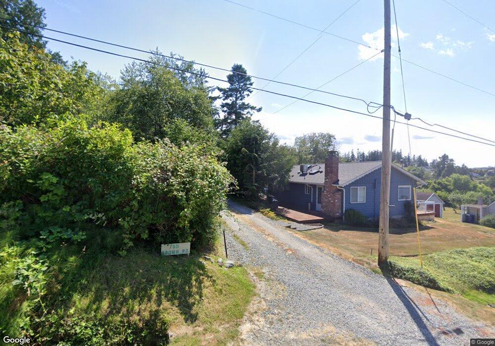
751 Brown Rd Camano Island, WA 98282
Estimated Value: $496,000 - $755,000
2
Beds
1
Bath
1,000
Sq Ft
$629/Sq Ft
Est. Value
About This Home
This home is located at 751 Brown Rd, Camano Island, WA 98282 and is currently estimated at $628,962, approximately $628 per square foot. 751 Brown Rd is a home located in Island County with nearby schools including Utsalady Elementary School, Port Susan Middle School, and Stanwood High School.
Ownership History
Date
Name
Owned For
Owner Type
Purchase Details
Closed on
May 13, 2022
Sold by
Martin Dan H and Martin Marian G
Bought by
Johnson Lane G
Current Estimated Value
Home Financials for this Owner
Home Financials are based on the most recent Mortgage that was taken out on this home.
Original Mortgage
$175,000
Outstanding Balance
$166,083
Interest Rate
5.3%
Mortgage Type
New Conventional
Estimated Equity
$462,879
Purchase Details
Closed on
Apr 18, 2017
Sold by
Wagner Richard P and Wagner Celestine R
Bought by
Martin Dan H and Martin Marian G
Create a Home Valuation Report for This Property
The Home Valuation Report is an in-depth analysis detailing your home's value as well as a comparison with similar homes in the area
Home Values in the Area
Average Home Value in this Area
Purchase History
| Date | Buyer | Sale Price | Title Company |
|---|---|---|---|
| Johnson Lane G | $425,000 | None Listed On Document | |
| Martin Dan H | $400,000 | Premier Title Of Island |
Source: Public Records
Mortgage History
| Date | Status | Borrower | Loan Amount |
|---|---|---|---|
| Open | Johnson Lane G | $175,000 |
Source: Public Records
Tax History Compared to Growth
Tax History
| Year | Tax Paid | Tax Assessment Tax Assessment Total Assessment is a certain percentage of the fair market value that is determined by local assessors to be the total taxable value of land and additions on the property. | Land | Improvement |
|---|---|---|---|---|
| 2025 | $4,548 | $625,931 | $420,000 | $205,931 |
| 2024 | $4,675 | $618,564 | $410,000 | $208,564 |
| 2023 | $4,675 | $611,195 | $400,000 | $211,195 |
| 2022 | $3,745 | $546,471 | $360,000 | $186,471 |
| 2021 | $3,448 | $404,217 | $240,000 | $164,217 |
| 2020 | $3,528 | $360,103 | $200,000 | $160,103 |
| 2019 | $2,854 | $364,026 | $250,000 | $114,026 |
| 2018 | $2,581 | $294,376 | $180,000 | $114,376 |
| 2017 | $1,917 | $246,258 | $150,000 | $96,258 |
| 2016 | $1,715 | $202,387 | $130,000 | $72,387 |
| 2015 | $1,846 | $173,703 | $100,000 | $73,703 |
| 2013 | -- | $184,336 | $108,000 | $76,336 |
Source: Public Records
Map
Nearby Homes
- 1042 Shorecrest Place
- 688 Gladstone Dr
- 0 Maple Grove Rd Unit NWM2455478
- 1048 Malvern Hills Dr
- 366 Samanthia Ln
- 628 N Sunset Dr
- 1048 Cassius Ct
- 941 Cambell Dr
- 0 Cambell Dr Unit NWM2331086
- 900 N Sunset Dr
- 980 Marshall Dr
- 25 Anadar Place
- 345 Seaview Ct
- 1 S Camano Dr
- 350 N Sunset Dr
- 329 Melissa St
- 441 Windsun Way
- 329 Burke Dr
- 325 Melissa St
- 78 Vista Del Mar St
- 759 Brown Rd
- 755 Brown Rd
- 753 Maple Grove Rd
- 751 Maple St
- 767 Brown Rd
- 747 Maple Grove Rd
- 733 Brown Rd
- 763 Maple Grove Rd
- 751 Maple Grove Rd Unit B
- 751 Maple Grove Rd Unit C
- 751 Maple Grove Rd
- 751 Maple Grove Rd
- 751 Maple Grove Rd Unit A
- 765 Maple Grove Rd
- 757 Maple Grove Rd
- 1054 Scenic Ave
- 733 Maple Grove Rd
- 771 Maple Grove Rd
- 750 Maple Grove Rd
- 754 Maple Grove Rd