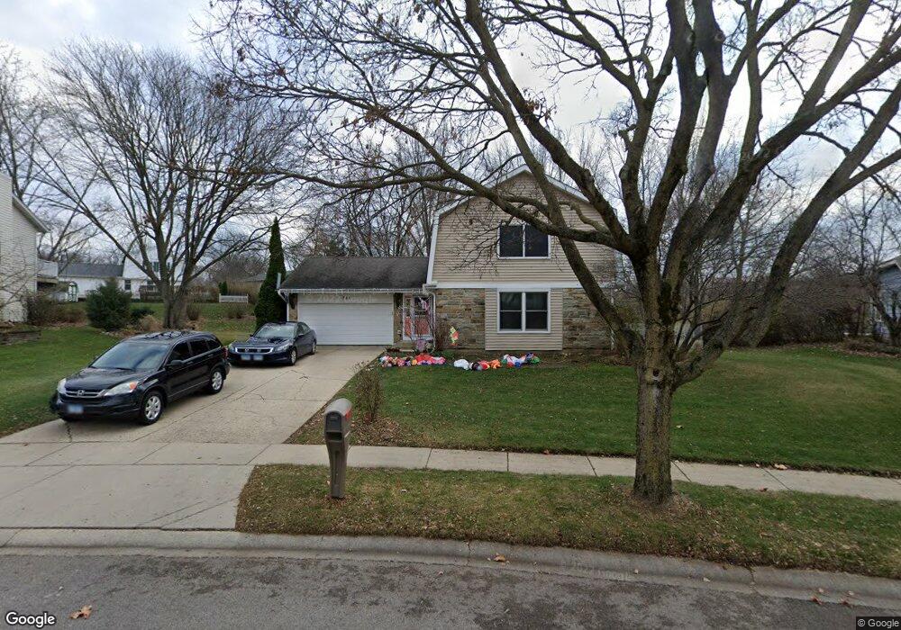
751 Butterfield Dr Algonquin, IL 60102
High Hill Farms NeighborhoodEstimated Value: $347,517 - $384,000
3
Beds
3
Baths
1,858
Sq Ft
$200/Sq Ft
Est. Value
About This Home
This home is located at 751 Butterfield Dr, Algonquin, IL 60102 and is currently estimated at $371,129, approximately $199 per square foot. 751 Butterfield Dr is a home located in McHenry County with nearby schools including Westfield Community School, Kenneth E Neubert Elementary School, and Harry D Jacobs High School.
Ownership History
Date
Name
Owned For
Owner Type
Purchase Details
Closed on
Aug 23, 2006
Sold by
Mcdermott Michael T and Mcdermott Roxanne R
Bought by
Butts Keith and Butts Linda
Current Estimated Value
Home Financials for this Owner
Home Financials are based on the most recent Mortgage that was taken out on this home.
Original Mortgage
$176,000
Outstanding Balance
$105,323
Interest Rate
6.7%
Mortgage Type
Unknown
Estimated Equity
$265,806
Create a Home Valuation Report for This Property
The Home Valuation Report is an in-depth analysis detailing your home's value as well as a comparison with similar homes in the area
Home Values in the Area
Average Home Value in this Area
Purchase History
We collect this data history from publicly available records. To have your information removed, we recommend requesting removal directly through your county’s website.
| Date | Buyer | Sale Price | Title Company |
|---|---|---|---|
| Butts Keith | $256,000 | Attorneys Title Guaranty Fun |
Source: Public Records
Mortgage History
We collect this data history from publicly available records. To have your information removed, we recommend requesting removal directly through your county’s website.
| Date | Status | Borrower | Loan Amount |
|---|---|---|---|
| Open | Butts Keith | $176,000 |
Source: Public Records
Tax History
| Year | Tax Paid | Tax Assessment Tax Assessment Total Assessment is a certain percentage of the fair market value that is determined by local assessors to be the total taxable value of land and additions on the property. | Land | Improvement |
|---|---|---|---|---|
| 2024 | $7,690 | $106,300 | $26,636 | $79,664 |
| 2023 | $7,289 | $95,072 | $23,823 | $71,249 |
| 2022 | $6,903 | $86,496 | $24,159 | $62,337 |
| 2021 | $6,618 | $80,581 | $22,507 | $58,074 |
| 2020 | $6,441 | $77,728 | $21,710 | $56,018 |
| 2019 | $6,280 | $74,395 | $20,779 | $53,616 |
| 2018 | $5,979 | $68,725 | $19,195 | $49,530 |
| 2017 | $5,850 | $64,743 | $18,083 | $46,660 |
| 2016 | $5,755 | $60,723 | $16,960 | $43,763 |
| 2013 | -- | $59,139 | $15,822 | $43,317 |
Source: Public Records
Map
Nearby Homes
- 650 Butterfield Dr
- 525 Skyline Dr
- 635 Oakview Dr Unit 6
- 615 Harper Dr
- 660 Juniper Cir
- 655 Oakview Dr
- 425 Somerset Ct
- 909 Roger St
- 1431 Essex St
- 1210 Merrill Ave
- SWC Talaga and Algonquin Rd
- 275 Farmhill Dr
- 731 Roaring Brook Ln
- 1 Grandview Ct Unit 8
- 1600 Huntington Dr N
- 209 Beach Dr
- 934 Viewpoint Dr
- 0 River Dr N Unit MRD12473279
- 973 Mesa Dr
- Lot #3-5 Hayes Rd
- 741 Butterfield Dr
- 761 Butterfield Dr
- 500 Forest Cir
- 740 Chestnut Ct
- 731 Butterfield Dr
- 740 Butterfield Dr
- 801 Butterfield Dr
- 305 Harper Dr
- 730 Butterfield Dr
- 510 Forest Cir
- 721 Butterfield Dr
- 811 Butterfield Dr
- 720 Chestnut Ct
- 720 Butterfield Dr
- 315 Harper Dr
- 520 Forest Cir
- 711 Butterfield Dr
- 471 Candlewood Ct
- 735 Chestnut Ct
- 821 Butterfield Dr
Your Personal Tour Guide
Ask me questions while you tour the home.