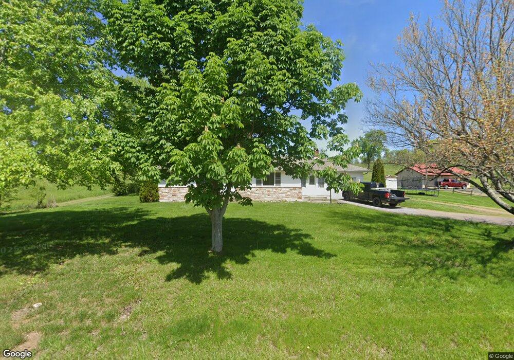
751 Cambridge St N Cumberland, OH 43732
Estimated Value: $110,000 - $210,000
--
Bed
--
Bath
1,157
Sq Ft
$153/Sq Ft
Est. Value
About This Home
This home is located at 751 Cambridge St N, Cumberland, OH 43732 and is currently estimated at $176,491, approximately $152 per square foot. 751 Cambridge St N is a home with nearby schools including Meadowbrook High School.
Ownership History
Date
Name
Owned For
Owner Type
Purchase Details
Closed on
Jun 30, 2021
Sold by
Basford Brent and Basford Mallory
Bought by
Basford Mallory and Nau Mallory
Current Estimated Value
Purchase Details
Closed on
Jun 13, 2012
Sold by
Wickham Carl L and Wickham Stanley R
Bought by
Basford Mallory M
Home Financials for this Owner
Home Financials are based on the most recent Mortgage that was taken out on this home.
Original Mortgage
$83,460
Outstanding Balance
$57,623
Interest Rate
3.75%
Mortgage Type
FHA
Estimated Equity
$118,868
Create a Home Valuation Report for This Property
The Home Valuation Report is an in-depth analysis detailing your home's value as well as a comparison with similar homes in the area
Home Values in the Area
Average Home Value in this Area
Purchase History
| Date | Buyer | Sale Price | Title Company |
|---|---|---|---|
| Basford Mallory | -- | None Available | |
| Basford Mallory M | $85,000 | None Available | |
| Basford Malory M | -- | None Available |
Source: Public Records
Mortgage History
| Date | Status | Borrower | Loan Amount |
|---|---|---|---|
| Open | Basford Mallory M | $83,460 |
Source: Public Records
Tax History Compared to Growth
Tax History
| Year | Tax Paid | Tax Assessment Tax Assessment Total Assessment is a certain percentage of the fair market value that is determined by local assessors to be the total taxable value of land and additions on the property. | Land | Improvement |
|---|---|---|---|---|
| 2024 | $1,980 | $47,117 | $8,365 | $38,752 |
| 2023 | $1,980 | $37,103 | $6,587 | $30,516 |
| 2022 | $1,720 | $37,110 | $6,590 | $30,520 |
| 2021 | $1,664 | $37,110 | $6,590 | $30,520 |
| 2020 | $1,590 | $35,780 | $6,270 | $29,510 |
| 2019 | $1,579 | $35,780 | $6,270 | $29,510 |
| 2018 | $1,526 | $35,780 | $6,270 | $29,510 |
| 2017 | $1,477 | $31,020 | $5,460 | $25,560 |
| 2016 | $1,461 | $31,020 | $5,460 | $25,560 |
| 2015 | $1,461 | $31,020 | $5,460 | $25,560 |
| 2014 | $1,372 | $27,620 | $4,350 | $23,270 |
| 2013 | $1,335 | $27,620 | $4,350 | $23,270 |
Source: Public Records
Map
Nearby Homes
- 468 Carl St
- 52021 Spencer Rd
- 52088 Spencer Rd
- 55289 Iowa Rd
- 6820 Crane Run Rd
- 54845 Huhn Ln
- 8737 Glenwood Rd
- 49197 John ToMcHo Rd
- 0 Noble Hill Rd
- 518333 Wargo Rd
- 51833 Wargo Rd
- 0 Wargo Rd
- 14376 Belle Valley Rd
- 0 Richards Rd Unit 5161895
- 518 High St
- 9797 Brick Church Rd
- 4963 Noble Dr NW
- 14040 T Ridge
- 3278 Rough & Ready Rd
- 0 S Leedom Rd