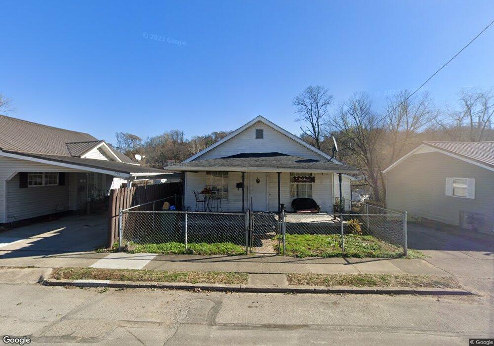
751 High St Coal Grove, OH 45638
Estimated Value: $60,000 - $80,000
2
Beds
1
Bath
648
Sq Ft
$101/Sq Ft
Est. Value
About This Home
This home is located at 751 High St, Coal Grove, OH 45638 and is currently estimated at $65,751, approximately $101 per square foot. 751 High St is a home located in Lawrence County with nearby schools including Dawson-Bryant Elementary School, Dawson-Bryant Middle School, and Dawson-Bryant High School.
Ownership History
Date
Name
Owned For
Owner Type
Purchase Details
Closed on
Jul 16, 2012
Sold by
Campbell Clayton Lenwood and Campbell Lora L
Bought by
Lusk Michael and Lusk Marissa
Current Estimated Value
Purchase Details
Closed on
Jan 4, 2008
Sold by
Campbell Clayton Lenwood and Campbell Lora L
Bought by
Campbell Clayton Lenwood and Campbell Lora L
Purchase Details
Closed on
Feb 1, 2006
Sold by
Barnett Timothy R and Campbell Clayton L
Bought by
Smith Billy J and Smith Teri L
Home Financials for this Owner
Home Financials are based on the most recent Mortgage that was taken out on this home.
Original Mortgage
$25,000
Interest Rate
8%
Mortgage Type
Seller Take Back
Purchase Details
Closed on
Nov 15, 2000
Bought by
Campbell Clayton Lenwood
Create a Home Valuation Report for This Property
The Home Valuation Report is an in-depth analysis detailing your home's value as well as a comparison with similar homes in the area
Home Values in the Area
Average Home Value in this Area
Purchase History
| Date | Buyer | Sale Price | Title Company |
|---|---|---|---|
| Lusk Michael | $24,000 | Attorney | |
| Campbell Clayton Lenwood | $13,595 | Attorney | |
| Smith Billy J | $30,000 | None Available | |
| Campbell Clayton Lenwood | $13,000 | -- |
Source: Public Records
Mortgage History
| Date | Status | Borrower | Loan Amount |
|---|---|---|---|
| Previous Owner | Smith Billy J | $25,000 |
Source: Public Records
Tax History
| Year | Tax Paid | Tax Assessment Tax Assessment Total Assessment is a certain percentage of the fair market value that is determined by local assessors to be the total taxable value of land and additions on the property. | Land | Improvement |
|---|---|---|---|---|
| 2025 | $522 | $14,252 | $1,600 | $12,653 |
| 2024 | -- | $14,100 | $1,450 | $12,650 |
| 2023 | -- | $14,100 | $1,450 | $12,650 |
| 2022 | $524 | $14,100 | $1,450 | $12,650 |
| 2021 | $344 | $11,300 | $1,210 | $10,090 |
| 2020 | $445 | $11,300 | $1,210 | $10,090 |
| 2019 | $444 | $11,300 | $1,210 | $10,090 |
| 2018 | $417 | $10,280 | $1,100 | $9,180 |
| 2017 | $416 | $10,280 | $1,100 | $9,180 |
| 2016 | $390 | $10,280 | $1,100 | $9,180 |
| 2015 | $370 | $8,870 | $1,100 | $7,770 |
| 2014 | $349 | $8,870 | $1,100 | $7,770 |
| 2013 | $349 | $8,870 | $1,100 | $7,770 |
Source: Public Records
Map
Nearby Homes
- 514 Lane St
- 519 Lane St
- 805 1/2 High St
- 303 Pike St
- 103 Carrico Dr
- 1003 Marion Pike
- 2805 S 8th St
- 0 Central & Mlk
- 321 Wyanoke St
- 2725 S 5th St
- 1100 Price St
- 2620 S 13th St
- 2601 S 6th St
- 508 16th St
- 1400 Montgomery Ave
- 115 Hillcrest Ct
- 2531 S 8th St
- 1824 Carter Ave
- 2518 S 9th St
- 0 18th Street & Central Ave
Your Personal Tour Guide
Ask me questions while you tour the home.