751 Port Stanley Rd Lopez Island, WA 98261
Estimated Value: $1,305,000 - $1,690,393
--
Bed
--
Bath
2,505
Sq Ft
$604/Sq Ft
Est. Value
About This Home
This home is located at 751 Port Stanley Rd, Lopez Island, WA 98261 and is currently estimated at $1,512,848, approximately $603 per square foot. 751 Port Stanley Rd is a home located in San Juan County with nearby schools including Lopez Elementary School and Lopez Middle High School.
Ownership History
Date
Name
Owned For
Owner Type
Purchase Details
Closed on
Apr 18, 2024
Sold by
Gerdes Michael A
Bought by
Michael Gerdes Living Trust and Gerdes
Current Estimated Value
Purchase Details
Closed on
Sep 15, 2021
Sold by
Gerdes Arthur and Gerdes Peggy R
Bought by
Gerdes Michael A
Purchase Details
Closed on
Feb 4, 2013
Sold by
Gerdes Arthur J and Peggy R Gerdes Qualified Perso
Bought by
Gerdes Peggy R
Create a Home Valuation Report for This Property
The Home Valuation Report is an in-depth analysis detailing your home's value as well as a comparison with similar homes in the area
Home Values in the Area
Average Home Value in this Area
Purchase History
| Date | Buyer | Sale Price | Title Company |
|---|---|---|---|
| Michael Gerdes Living Trust | -- | None Listed On Document | |
| Gerdes Michael A | -- | None Available | |
| Gerdes Peggy R | -- | None Available | |
| Gerdes Arthur J | -- | None Available |
Source: Public Records
Tax History Compared to Growth
Tax History
| Year | Tax Paid | Tax Assessment Tax Assessment Total Assessment is a certain percentage of the fair market value that is determined by local assessors to be the total taxable value of land and additions on the property. | Land | Improvement |
|---|---|---|---|---|
| 2024 | $8,995 | $1,516,520 | $453,360 | $1,063,160 |
| 2023 | $8,995 | $1,525,310 | $453,360 | $1,071,950 |
| 2022 | $8,697 | $1,398,630 | $453,600 | $945,030 |
| 2021 | $7,436 | $1,114,010 | $378,000 | $736,010 |
| 2020 | $7,072 | $959,810 | $378,000 | $581,810 |
| 2019 | $6,262 | $919,850 | $378,000 | $541,850 |
| 2018 | $6,338 | $1,248,720 | $813,360 | $435,360 |
| 2017 | $5,666 | $763,230 | $398,400 | $364,830 |
| 2016 | $4,624 | $811,870 | $468,700 | $343,170 |
| 2015 | $4,624 | $822,060 | $468,700 | $353,360 |
| 2014 | $4,624 | $886,490 | $426,200 | $460,290 |
| 2012 | $4,624 | $832,860 | $426,200 | $406,660 |
Source: Public Records
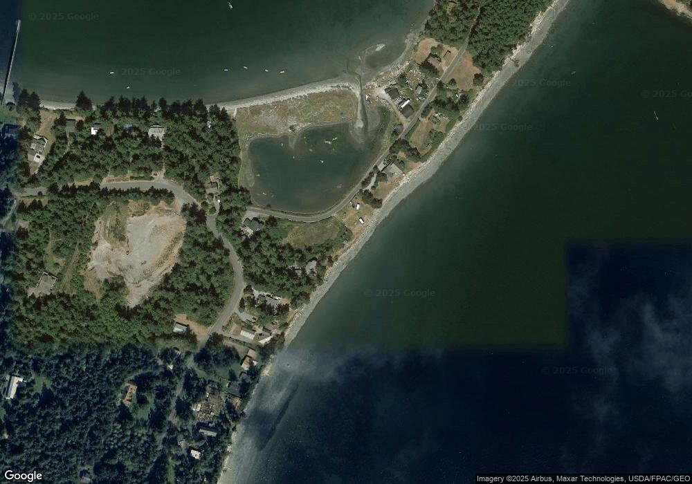
Map
Nearby Homes
- 239 Shoreland Dr
- 137 Forest Ln
- 755 Ferry Rd
- 783 Ferry Rd
- 162 Sea Ranch Rd
- 331 Nelson Ln
- 1372 Bakerview Rd
- 230 Gem Farm Ln
- 104 Estenson Rd
- 95 Weeks Rd
- 281 Maritime Rd
- 264 Shaw Park Rd
- 335 Blakely Dr
- 86 Shag Rock Ln
- 296 Shag Rock Ln
- 315 Mariner Dr
- 0 EC-19 E Cove Rd
- 707 NW Thatcher Pass Rd
- 1486 Center Rd
- 68 Sylvan Cove Rd W
- 767 Port Stanley Rd
- 38 Shoreland Dr
- 783 Port Stanley Rd
- 10 Shoreland Dr
- 0 Shoreland Dr
- 819 Port Stanley Rd
- 11 Shoreland Dr
- 144 Shoreland Dr
- 837 Port Stanley Rd
- 843 Port Stanley Rd
- 663 Port Stanley Rd
- 867 Port Stanley Rd
- 661 Port Stanley Rd
- 203 Shoreland Dr
- 659 Port Stanley Rd
- 856 Port Stanley Rd
- 619 Port Stanley Rd
- 213 Shoreland Dr
- 611 Port Stanley Rd
- 907 Port Stanley Rd