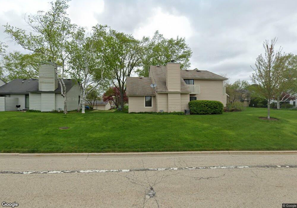
751 Shepard Ct Unit U20 Gurnee, IL 60031
Estimated Value: $203,000 - $223,000
2
Beds
2
Baths
1,162
Sq Ft
$185/Sq Ft
Est. Value
About This Home
This home is located at 751 Shepard Ct Unit U20, Gurnee, IL 60031 and is currently estimated at $214,779, approximately $184 per square foot. 751 Shepard Ct Unit U20 is a home located in Lake County with nearby schools including Woodland Primary School, Woodland Elementary School, and Woodland Intermediate School.
Ownership History
Date
Name
Owned For
Owner Type
Purchase Details
Closed on
Jun 30, 1998
Sold by
Kirchner Charles H and Kirchner Lois M
Bought by
Carvis Patricia S
Current Estimated Value
Home Financials for this Owner
Home Financials are based on the most recent Mortgage that was taken out on this home.
Original Mortgage
$66,000
Outstanding Balance
$13,683
Interest Rate
7.15%
Estimated Equity
$201,096
Create a Home Valuation Report for This Property
The Home Valuation Report is an in-depth analysis detailing your home's value as well as a comparison with similar homes in the area
Home Values in the Area
Average Home Value in this Area
Purchase History
| Date | Buyer | Sale Price | Title Company |
|---|---|---|---|
| Carvis Patricia S | $88,500 | Chicago Title Insurance Co |
Source: Public Records
Mortgage History
| Date | Status | Borrower | Loan Amount |
|---|---|---|---|
| Open | Carvis Patricia S | $66,000 |
Source: Public Records
Tax History
| Year | Tax Paid | Tax Assessment Tax Assessment Total Assessment is a certain percentage of the fair market value that is determined by local assessors to be the total taxable value of land and additions on the property. | Land | Improvement |
|---|---|---|---|---|
| 2024 | $4,478 | $57,698 | $8,185 | $49,513 |
| 2023 | $4,080 | $53,568 | $7,599 | $45,969 |
| 2022 | $4,080 | $47,862 | $5,929 | $41,933 |
| 2021 | $3,435 | $43,342 | $5,369 | $37,973 |
| 2020 | $3,316 | $42,277 | $5,237 | $37,040 |
| 2019 | $3,216 | $41,050 | $5,085 | $35,965 |
| 2018 | $2,203 | $30,414 | $2,676 | $27,738 |
| 2017 | $2,173 | $29,542 | $2,599 | $26,943 |
| 2016 | $2,136 | $28,226 | $2,483 | $25,743 |
| 2015 | $2,058 | $26,770 | $2,355 | $24,415 |
| 2014 | $1,936 | $25,651 | $2,323 | $23,328 |
| 2012 | $3,075 | $25,848 | $2,341 | $23,507 |
Source: Public Records
Map
Nearby Homes
- 727 Colby Ct Unit U57
- 748 Chandler Rd
- 705 Colby Ct Unit U78
- 690 Chandler Rd Unit 211
- 690 Chandler Rd Unit 302
- 650 Whitney Ct Unit 211
- 598 Dunham Rd Unit U297
- 6167 Golfview Dr
- 920 Vose Dr Unit 304
- 920 Vose Dr Unit 106
- 649 Wilbur Ct
- 6349 Braxton Ct
- 6296 Doral Dr
- 33430 N Hunt Club Rd
- 256 Hill n Dale Ct
- 32981 N River Rd
- 6230 Old Farm Ln
- 17150 W Washington St
- 6091 Washington St
- 1611 Burr Oak Dr
- 749 Shepard Ct Unit U19
- 747 Shepard Ct Unit U18
- 747 Shepard Ct Unit 747
- 745 Shepard Ct Unit U17
- 743 Shepard Ct Unit U21
- 743 Colby Ct Unit U41
- 741 Shepard Ct Unit U22
- 739 Colby Ct
- 739 Shepard Ct Unit U23
- 737 Shepard Ct Unit 24
- 718 Colby Ct Unit U61
- 744 Drury Ct Unit U12
- 711 Shepard Ct
- 713 Shepard Ct Unit U37
- 735 Colby Ct Unit U45
- 746 Drury Ct Unit U11
- 736 Drury Ct Unit U16
- 738 Drury Ct
- 716 Colby Ct Unit U62
- 735 Shepard Ct Unit U25
Your Personal Tour Guide
Ask me questions while you tour the home.