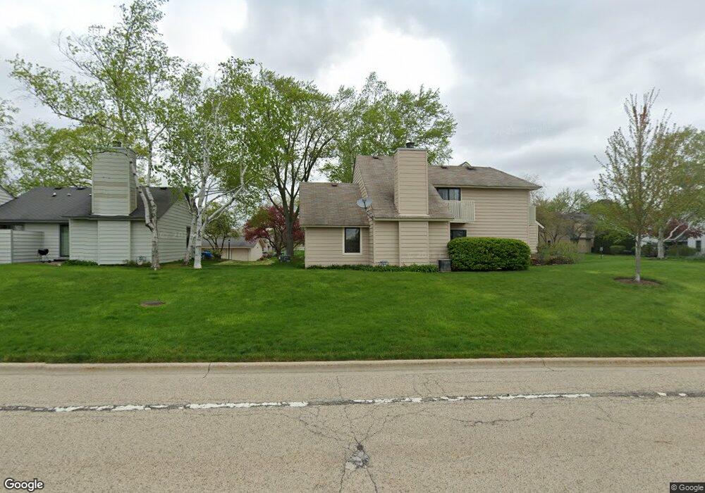
751 Shepard Ct Unit U20 Gurnee, IL 60031
Estimated Value: $216,000 - $224,000
About This Home
This home is located at 751 Shepard Ct Unit U20, Gurnee, IL 60031 and is currently estimated at $219,932, approximately $189 per square foot. 751 Shepard Ct Unit U20 is a home located in Lake County with nearby schools including Woodland Primary School, Woodland Elementary School, and Woodland Intermediate School.
Ownership History
We collect this data history from publicly available records. To have your information removed, we recommend requesting removal directly through your county’s website.
Purchase Details
Home Financials for this Owner
Home Financials are based on the most recent Mortgage that was taken out on this home.Home Values in the Area
Average Home Value in this Area
Purchase History
We collect this data history from publicly available records. To have your information removed, we recommend requesting removal directly through your county’s website.
| Date | Buyer | Sale Price | Title Company |
|---|---|---|---|
| $88,500 | Chicago Title Insurance Co |
Mortgage History
We collect this data history from publicly available records. To have your information removed, we recommend requesting removal directly through your county’s website.
| Date | Status | Borrower | Loan Amount |
|---|---|---|---|
| Open | $66,000 |
Tax History
We collect this data history from publicly available records. To have your information removed, we recommend requesting removal directly through your county’s website.
| Year | Tax Paid | Tax Assessment Tax Assessment Total Assessment is a certain percentage of the fair market value that is determined by local assessors to be the total taxable value of land and additions on the property. | Land | Improvement |
|---|---|---|---|---|
| 2025 | $4,625 | $63,023 | $8,940 | $54,083 |
| 2024 | $4,478 | $57,698 | $8,185 | $49,513 |
| 2023 | $4,080 | $53,568 | $7,599 | $45,969 |
| 2022 | $4,080 | $47,862 | $5,929 | $41,933 |
| 2021 | $3,435 | $43,342 | $5,369 | $37,973 |
| 2020 | $3,316 | $42,277 | $5,237 | $37,040 |
| 2019 | $3,216 | $41,050 | $5,085 | $35,965 |
| 2018 | $2,203 | $30,414 | $2,676 | $27,738 |
| 2017 | $2,173 | $29,542 | $2,599 | $26,943 |
| 2016 | $2,136 | $28,226 | $2,483 | $25,743 |
| 2015 | $2,058 | $26,770 | $2,355 | $24,415 |
| 2014 | $1,936 | $25,651 | $2,323 | $23,328 |
| 2012 | $3,075 | $25,848 | $2,341 | $23,507 |
Map
- 661 Mitchell Ct Unit U235
- 648 Mitchell Ct
- 845 Brian Ct Unit 6
- 707 Chelsey Ct Unit 36
- 930 Taylor Dr Unit 104
- 917 Vose Dr Unit 411
- 920 Vose Dr Unit 304
- 913 Campbell Dr Unit U486
- 638 Sandwedge Place
- 16820 W Serranda Dr Unit 17
- 6131 Oakmont Ln
- 703 Owl Creek Ln
- 6275 Doral Dr
- 341 Hickory Haven Dr E
- 324 S Fork Dr
- 17080 W Cunningham Ct Unit 2AL
- 17271 W Huntington Cir
- 228 Southridge Dr
- 129 Knobb Hill Ln
- 17150 W Washington St
- 743 Shepard Ct Unit U21
- 741 Shepard Ct Unit U22
- 739 Shepard Ct Unit U23
- 745 Shepard Ct Unit U17
- 737 Shepard Ct Unit 24
- 747 Shepard Ct Unit U18
- 747 Shepard Ct Unit 747
- 735 Shepard Ct Unit U25
- 733 Shepard Ct Unit U26
- 743 Colby Ct Unit U41
- 731 Shepard Ct Unit U27
- 739 Colby Ct
- 713 Shepard Ct Unit U37
- 729 Shepard Ct Unit U28
- 725 Shepard Ct Unit U30
- 711 Shepard Ct
- 727 Shepard Ct
- 746 Drury Ct Unit U11
- 744 Drury Ct Unit U12
- 737 Colby Ct
Ask me questions while you tour the home.