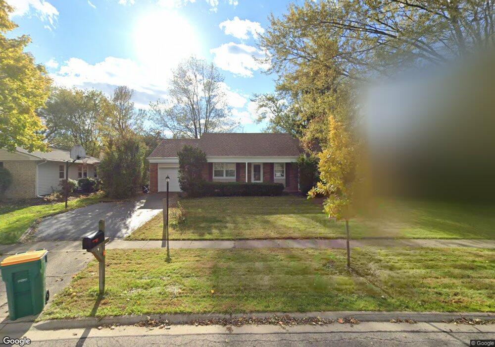
751 Silver Rock Ln Buffalo Grove, IL 60089
Estimated Value: $383,842 - $428,000
--
Bed
2
Baths
1,176
Sq Ft
$338/Sq Ft
Est. Value
About This Home
This home is located at 751 Silver Rock Ln, Buffalo Grove, IL 60089 and is currently estimated at $397,711, approximately $338 per square foot. 751 Silver Rock Ln is a home located in Lake County with nearby schools including Ivy Hall Elementary School, Twin Groves Middle School, and Adlai E Stevenson High School.
Ownership History
Date
Name
Owned For
Owner Type
Purchase Details
Closed on
Apr 3, 2002
Sold by
Dahm David W and Dahm Joan M
Bought by
Kowols John K
Current Estimated Value
Home Financials for this Owner
Home Financials are based on the most recent Mortgage that was taken out on this home.
Original Mortgage
$173,600
Outstanding Balance
$73,760
Interest Rate
7.16%
Estimated Equity
$323,951
Create a Home Valuation Report for This Property
The Home Valuation Report is an in-depth analysis detailing your home's value as well as a comparison with similar homes in the area
Home Values in the Area
Average Home Value in this Area
Purchase History
| Date | Buyer | Sale Price | Title Company |
|---|---|---|---|
| Kowols John K | $217,000 | -- |
Source: Public Records
Mortgage History
| Date | Status | Borrower | Loan Amount |
|---|---|---|---|
| Open | Kowols John K | $173,600 | |
| Closed | Kowols John K | $13,000 |
Source: Public Records
Tax History Compared to Growth
Tax History
| Year | Tax Paid | Tax Assessment Tax Assessment Total Assessment is a certain percentage of the fair market value that is determined by local assessors to be the total taxable value of land and additions on the property. | Land | Improvement |
|---|---|---|---|---|
| 2024 | $9,320 | $105,569 | $38,173 | $67,396 |
| 2023 | $8,452 | $99,612 | $36,019 | $63,593 |
| 2022 | $8,452 | $87,809 | $31,751 | $56,058 |
| 2021 | $8,129 | $86,117 | $31,409 | $54,708 |
| 2020 | $7,938 | $86,411 | $31,516 | $54,895 |
| 2019 | $7,831 | $86,093 | $31,400 | $54,693 |
| 2018 | $7,676 | $87,065 | $31,033 | $56,032 |
| 2017 | $7,529 | $85,033 | $30,309 | $54,724 |
| 2016 | $7,323 | $81,426 | $29,023 | $52,403 |
| 2015 | $7,116 | $76,149 | $27,142 | $49,007 |
| 2014 | $6,783 | $71,905 | $29,150 | $42,755 |
| 2012 | $6,711 | $72,049 | $29,208 | $42,841 |
Source: Public Records
Map
Nearby Homes
- 610 Checker Dr
- 711 Woodhollow Ln
- 931 Shady Grove Ln
- 800 Clohesey Dr
- 1141 Devonshire Rd
- 950 Belmar Ln
- 390 Springside Ln
- 12 Cloverdale Ct
- 1265 Devonshire Rd
- 412 Chateau Dr
- 1113 Lockwood Dr
- 1118 Larraway Dr
- 938 Hidden Lake Dr
- 1032 Courtland Dr Unit 9
- 310 Lakeview Ct
- 746 Old Checker Rd Unit E5
- 603 Cherbourg Ct N
- 887 Saybrook Ln Unit 2
- 327 Lasalle Ln
- 890 Knollwood Dr
- 761 Silver Rock Ln
- 741 Silver Rock Ln
- 730 Checker Dr
- 740 Checker Dr
- 720 Checker Dr
- 771 Silver Rock Ln
- 750 Checker Dr
- 750 Silver Rock Ln
- 740 Silver Rock Ln
- 760 Checker Dr
- 770 Silver Rock Ln
- 781 Silver Rock Ln
- 730 Silver Rock Ln
- 721 Silver Rock Ln
- 770 Checker Dr
- 690 Checker Dr
- 790 Silver Rock Ln
- 771 Shady Grove Ln
- 720 Silver Rock Ln
- 791 Silver Rock Ln