Estimated Value: $234,000 - $401,000
3
Beds
3
Baths
2,304
Sq Ft
$136/Sq Ft
Est. Value
About This Home
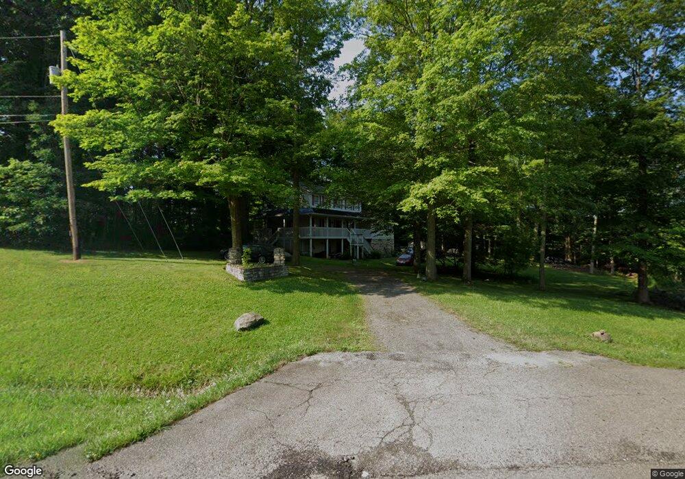
This home is located at 751 State Route 45 S, Salem, OH 44460 and is currently estimated at $313,693, approximately $136 per square foot. 751 State Route 45 S is a home with nearby schools including Reilly Elementary School, Buckeye Elementary School, and Salem Junior High School.
Ownership History
Date
Name
Owned For
Owner Type
Purchase Details
Closed on
Dec 17, 1997
Sold by
Renner James J and Renner Linda S
Bought by
Smeltzer James Michael
Current Estimated Value
Home Financials for this Owner
Home Financials are based on the most recent Mortgage that was taken out on this home.
Original Mortgage
$114,750
Interest Rate
7.28%
Create a Home Valuation Report for This Property
The Home Valuation Report is an in-depth analysis detailing your home's value as well as a comparison with similar homes in the area
Home Values in the Area
Average Home Value in this Area
Purchase History
| Date | Buyer | Sale Price | Title Company |
|---|---|---|---|
| Smeltzer James Michael | $135,000 | Union Title Company |
Source: Public Records
Mortgage History
| Date | Status | Borrower | Loan Amount |
|---|---|---|---|
| Open | Smeltzer James Michael | $100,000 | |
| Closed | Smeltzer James Michael | $142,000 | |
| Closed | Smeltzer James Michael | $50,000 | |
| Closed | Smeltzer James Michael | $114,750 |
Source: Public Records
Tax History Compared to Growth
Tax History
| Year | Tax Paid | Tax Assessment Tax Assessment Total Assessment is a certain percentage of the fair market value that is determined by local assessors to be the total taxable value of land and additions on the property. | Land | Improvement |
|---|---|---|---|---|
| 2024 | $4,015 | $96,390 | $9,240 | $87,150 |
| 2023 | $4,025 | $96,390 | $9,240 | $87,150 |
| 2022 | $3,741 | $96,390 | $9,240 | $87,150 |
| 2021 | $3,435 | $82,190 | $8,510 | $73,680 |
| 2020 | $3,462 | $82,190 | $8,510 | $73,680 |
| 2019 | $3,461 | $82,190 | $8,510 | $73,680 |
| 2018 | $3,306 | $74,730 | $7,740 | $66,990 |
| 2017 | $3,304 | $74,730 | $7,740 | $66,990 |
| 2016 | $3,323 | $72,140 | $7,490 | $64,650 |
| 2015 | $3,242 | $72,140 | $7,490 | $64,650 |
| 2014 | $3,148 | $72,140 | $7,490 | $64,650 |
Source: Public Records
Map
Nearby Homes
- 1750 Allen Dr
- 523 Bethel Dr
- 935 W Pidgeon Rd
- 312 W Pidgeon Rd
- 501 Stewart Rd
- 1358 Andrew Ave
- 944 Jones Dr
- 156 W Pidgeon Rd
- 1180 Jones Dr
- 937 Liberty St
- 1175 S Lincoln Ave
- 909 Somerset Dr Unit A
- 1801 Cider Mill Rd
- 2503 Depot Rd
- 0 Homewood Place
- 1357 Pembrooke Dr Unit D
- 13147 Ohio 14
- 1026 Franklin Ave
- 1603 Chestnut Grove Rd
- 1918 S Lincoln Ave Unit 1
- 902 Carriage Hill Dr
- 924 Carriage Hill Dr
- 840 Carriage Hill Dr
- 775 W Pidgeon Rd
- 770 Carriage Hill Dr
- 771 W Pidgeon Rd
- 901 Carriage Hill Dr
- 925 Carriage Hill Dr
- 791 W Pidgeon Rd
- 841 Carriage Hill Dr
- 789 Carriage Hill Dr
- 805 W Pidgeon Rd
- 664 W Pidgeon Rd
- 772 W Pidgeon Rd
- 737 Carriage Hill Dr
- 760 W Pidgeon Rd
- 790 W Pidgeon Rd
- 821 W Pidgeon Rd
- 740 W Pidgeon Rd
- 1739 Hearthside Dr