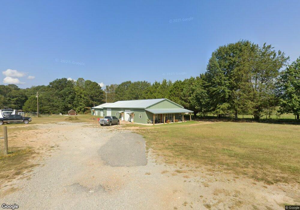
751 Watts Rd Bowdon, GA 30108
Estimated Value: $397,000 - $408,422
3
Beds
2
Baths
2,066
Sq Ft
$195/Sq Ft
Est. Value
About This Home
This home is located at 751 Watts Rd, Bowdon, GA 30108 and is currently estimated at $403,141, approximately $195 per square foot. 751 Watts Rd is a home located in Carroll County with nearby schools including Bowdon Elementary School, Bowdon Middle School, and Bowdon High School.
Ownership History
Date
Name
Owned For
Owner Type
Purchase Details
Closed on
Dec 2, 2025
Sold by
Cook Sara
Bought by
Cook Sara
Current Estimated Value
Purchase Details
Closed on
Mar 10, 2014
Sold by
Cook John Thomas
Bought by
Cook John Thomas and Cook Sara
Purchase Details
Closed on
Jan 31, 2013
Sold by
Cook J T
Bought by
Cook J T and Cook Sara
Purchase Details
Closed on
Nov 18, 2004
Sold by
R & S Investments
Bought by
Gibbs Brandon S
Purchase Details
Closed on
Apr 23, 2004
Sold by
Cook J T
Bought by
Cook J T
Purchase Details
Closed on
Mar 5, 2001
Bought by
Cook J T
Create a Home Valuation Report for This Property
The Home Valuation Report is an in-depth analysis detailing your home's value as well as a comparison with similar homes in the area
Purchase History
| Date | Buyer | Sale Price | Title Company |
|---|---|---|---|
| Cook Sara | -- | -- | |
| Cook John Thomas | -- | -- | |
| Cook J T | -- | -- | |
| Gibbs Brandon S | $255,000 | -- | |
| Cook J T | -- | -- | |
| Cook J T | -- | -- |
Source: Public Records
Tax History
| Year | Tax Paid | Tax Assessment Tax Assessment Total Assessment is a certain percentage of the fair market value that is determined by local assessors to be the total taxable value of land and additions on the property. | Land | Improvement |
|---|---|---|---|---|
| 2025 | $363 | $172,270 | $26,204 | $146,066 |
| 2024 | $367 | $172,270 | $26,204 | $146,066 |
| 2023 | $367 | $154,327 | $20,964 | $133,363 |
| 2022 | $437 | $121,102 | $13,976 | $107,126 |
| 2021 | $441 | $102,822 | $11,180 | $91,642 |
| 2020 | $442 | $91,559 | $10,164 | $81,395 |
| 2019 | $454 | $84,778 | $10,164 | $74,614 |
| 2018 | $476 | $71,092 | $5,031 | $66,061 |
| 2017 | $481 | $71,092 | $5,031 | $66,061 |
| 2016 | $481 | $71,092 | $5,031 | $66,061 |
| 2015 | $477 | $64,733 | $8,304 | $56,429 |
| 2014 | $481 | $64,733 | $8,304 | $56,429 |
Source: Public Records
Map
Nearby Homes
- 101 Winding Road - Lot 1a & 1b & Lot 2
- 717 Wedowee St
- 714 Yates Rd
- 60 Wessmanor Dr
- 627 Wedowee St
- 110 Bartlett Cir
- 0 Bartlett Cir Unit 10666514
- 125 Wessmanor Dr
- 110 Bevis Cir
- 414 Wedowee St
- 301 Angela Ave Unit 8
- 301 Angela Ave
- 309 Angela Ave
- 309 Angela Ave Unit 6
- 310 W College St
- 255 Eason St Unit 10
- 255 Eason St
- 313 Ellenwood Dr
- 263 Eason St Unit 12
- 263 Eason St
- 401 New Hope Rd
- 655 Watts Rd
- 430 New Hope Rd
- 799 Watts Rd
- 264 New Hope Rd
- 379 New Hope Rd
- 0 New Hope Rd Unit 7150774
- 0 New Hope Rd Unit 10115341
- 772 Watts Rd
- 551 Sandy Flat Rd
- 856 Watts Rd
- 748 Sandy Flat Rd
- 519 Watts Rd
- 185 New Hope Rd
- 830 Watts Rd
- 927 Watts Rd
- 589 Sandy Flat Rd
- 820 Sandy Flat Rd
- 757 Sandy Flat Rd
- 527 Sandy Flat Rd
Your Personal Tour Guide
Ask me questions while you tour the home.