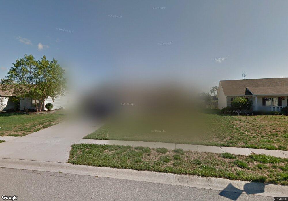
7510 Maeve Dr Fort Wayne, IN 46835
Northeast Fort Wayne NeighborhoodEstimated Value: $245,000 - $252,012
3
Beds
2
Baths
1,338
Sq Ft
$186/Sq Ft
Est. Value
About This Home
This home is located at 7510 Maeve Dr, Fort Wayne, IN 46835 and is currently estimated at $248,503, approximately $185 per square foot. 7510 Maeve Dr is a home located in Allen County with nearby schools including Arlington Elementary School, Jefferson Middle School, and Northrop High School.
Ownership History
Date
Name
Owned For
Owner Type
Purchase Details
Closed on
Aug 9, 2002
Sold by
Bridle Homes Inc
Bought by
Mielke Vonda L
Current Estimated Value
Home Financials for this Owner
Home Financials are based on the most recent Mortgage that was taken out on this home.
Original Mortgage
$88,800
Outstanding Balance
$35,743
Interest Rate
5.87%
Estimated Equity
$212,760
Create a Home Valuation Report for This Property
The Home Valuation Report is an in-depth analysis detailing your home's value as well as a comparison with similar homes in the area
Home Values in the Area
Average Home Value in this Area
Purchase History
| Date | Buyer | Sale Price | Title Company |
|---|---|---|---|
| Mielke Vonda L | -- | Metropolitan Title Indiana L | |
| Bridle Homes Inc | -- | Metropolitan Title Indiana L |
Source: Public Records
Mortgage History
| Date | Status | Borrower | Loan Amount |
|---|---|---|---|
| Open | Mielke Vonda L | $88,800 |
Source: Public Records
Tax History Compared to Growth
Tax History
| Year | Tax Paid | Tax Assessment Tax Assessment Total Assessment is a certain percentage of the fair market value that is determined by local assessors to be the total taxable value of land and additions on the property. | Land | Improvement |
|---|---|---|---|---|
| 2024 | $2,460 | $219,400 | $35,000 | $184,400 |
| 2023 | $2,460 | $217,000 | $35,000 | $182,000 |
| 2022 | $2,033 | $182,000 | $35,000 | $147,000 |
| 2021 | $1,785 | $161,100 | $27,700 | $133,400 |
| 2020 | $1,626 | $150,300 | $27,700 | $122,600 |
| 2019 | $1,487 | $138,400 | $27,700 | $110,700 |
| 2018 | $1,439 | $133,400 | $27,700 | $105,700 |
| 2017 | $1,351 | $124,700 | $27,700 | $97,000 |
| 2016 | $1,265 | $118,500 | $27,700 | $90,800 |
| 2014 | $1,124 | $109,600 | $27,700 | $81,900 |
| 2013 | $1,063 | $105,100 | $27,700 | $77,400 |
Source: Public Records
Map
Nearby Homes
- 9609 Carine Cove
- 7920 Welland Ct
- 7695 Accio Cove
- 7920 Wethersfield Cove
- 9803 Snowstar Place
- 7913 Maysfield Hill
- 9413 Acacia Passage
- 7755 Tumnus Trail
- 7779 Tumnus Trail
- 10205 Battle Run Way
- 7746 Tumnus Trail Unit 70
- 10328 Fieldlight Blvd
- 10255 Tirian Place
- 10249 Tirian Place
- 10299 Tirian Place
- 10263 Tirian Place
- 9613 Shellbrook Dr
- 10354 Cottage Park Cove
- Harmony Plan at Trader's Trace
- Stamford Plan at Trader's Trace
- 7502 Maeve Dr
- 7518 Maeve Dr
- 7434 Maeve Dr
- 7526 Maeve Dr
- 9721 Kildare Crossing
- 7525 Maeve Dr
- 7428 Maeve Dr
- 7534 Maeve Dr
- 9715 Kildare Crossing
- 7427 Maeve Dr
- 7422 Maeve Dr
- 7535 Maeve Dr
- 7606 Maeve Dr
- 9709 Kildare Crossing
- 9714 Kildare Crossing
- 7607 Maeve Dr
- 7416 Maeve Dr
- 7612 Maeve Dr
- 9703 Kildare Crossing
- 9710 Kildare Crossing