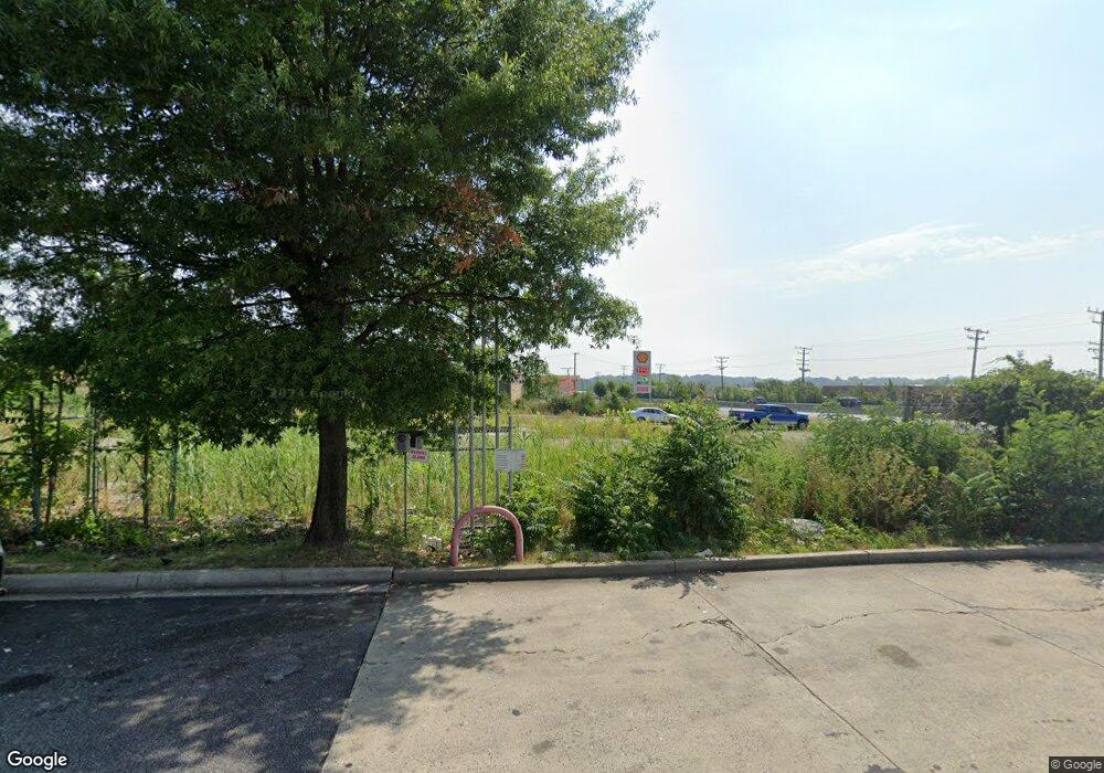
7510 Pulaski Hwy Baltimore, MD 21237
Estimated Value: $738,432 - $786,000
--
Bed
--
Bath
44,431
Sq Ft
$17/Sq Ft
Est. Value
About This Home
This home is located at 7510 Pulaski Hwy, Baltimore, MD 21237 and is currently estimated at $762,216, approximately $17 per square foot. 7510 Pulaski Hwy is a home located in Baltimore County with nearby schools including Elmwood Elementary School, Golden Ring Middle School, and Overlea High School.
Ownership History
Date
Name
Owned For
Owner Type
Purchase Details
Closed on
May 13, 2022
Sold by
Heungju Hwang
Bought by
Kimani Peter
Current Estimated Value
Home Financials for this Owner
Home Financials are based on the most recent Mortgage that was taken out on this home.
Original Mortgage
$150,000
Interest Rate
4.48%
Mortgage Type
Construction
Purchase Details
Closed on
Jan 12, 2006
Sold by
Hwang Heungju
Bought by
Hwang Heungju and Hwang Yoon Hee
Purchase Details
Closed on
Sep 27, 2005
Sold by
Mullan Enterprises Inc
Bought by
Hwang Heungju
Purchase Details
Closed on
Sep 12, 2005
Sold by
Mullan Enterprises Inc
Bought by
Hwang Heungju
Create a Home Valuation Report for This Property
The Home Valuation Report is an in-depth analysis detailing your home's value as well as a comparison with similar homes in the area
Home Values in the Area
Average Home Value in this Area
Purchase History
| Date | Buyer | Sale Price | Title Company |
|---|---|---|---|
| Kimani Peter | $650,000 | Clear Title Group | |
| Hwang Heungju | -- | -- | |
| Hwang Heungju | $390,000 | -- | |
| Hwang Heungju | $390,000 | -- |
Source: Public Records
Mortgage History
| Date | Status | Borrower | Loan Amount |
|---|---|---|---|
| Closed | Kimani Peter | $150,000 |
Source: Public Records
Tax History Compared to Growth
Tax History
| Year | Tax Paid | Tax Assessment Tax Assessment Total Assessment is a certain percentage of the fair market value that is determined by local assessors to be the total taxable value of land and additions on the property. | Land | Improvement |
|---|---|---|---|---|
| 2025 | $6,393 | $552,500 | $552,500 | -- |
| 2024 | $6,393 | $493,000 | $493,000 | $0 |
| 2023 | $2,839 | $433,500 | $433,500 | $0 |
| 2022 | $5,611 | $433,500 | $433,500 | $0 |
| 2021 | $5,593 | $433,500 | $433,500 | $0 |
| 2020 | $5,254 | $433,500 | $433,500 | $0 |
| 2019 | $5,254 | $433,500 | $433,500 | $0 |
| 2018 | $5,497 | $433,500 | $433,500 | $0 |
| 2017 | $5,874 | $433,500 | $0 | $0 |
| 2016 | $5,363 | $433,500 | $0 | $0 |
| 2015 | $5,363 | $433,500 | $0 | $0 |
| 2014 | $5,363 | $433,500 | $0 | $0 |
Source: Public Records
Map
Nearby Homes
- 2000 Longview Ct
- 1601 Odell Ave
- 1217 64th St
- 1303 Beatty Ave
- 7403 South Rd
- 2321 Bluegrass Heights Ct
- 2308 Hamiltowne Cir
- 7932 Philadelphia Rd
- 7848 Oakdale Ave
- 5416 Parkside Place
- 2354 Hamiltowne Cir
- 5900 Hamilton Ave
- 8020 Old Philadelphia Rd
- 8003 Woodhaven Rd
- 4843 Greencrest Rd
- 1535 Rosewick Ave
- 8006 Woodhaven Ct
- 8102 Sumter Ave
- 8100 Old Philadelphia Rd
- 5610 Frankford Ave
- 7514 Pulaski Hwy
- 7500 Pulaski Hwy
- 7516 Philadelphia Rd
- 7520 Philadelphia Rd
- 7505 Pulaski Hwy
- 7524 Philadelphia Rd
- 7414 Philadelphia Rd
- 7520 Pulaski Hwy
- 7520 Pulaski Hwy
- 7520A Pulaski Hwy
- 7528 Philadelphia Rd
- 1608 Rosedale Heights Ave
- 7526 Philadelphia Rd
- 7500 Philadelphia Rd
- 1610 Rosedale Heights Ave
- 1606 Rosedale Heights Ave
- 1612 Rosedale Heights Ave
- 1205 67th St
- 7600 Philadelphia Rd
- 2111 Summit Ave
