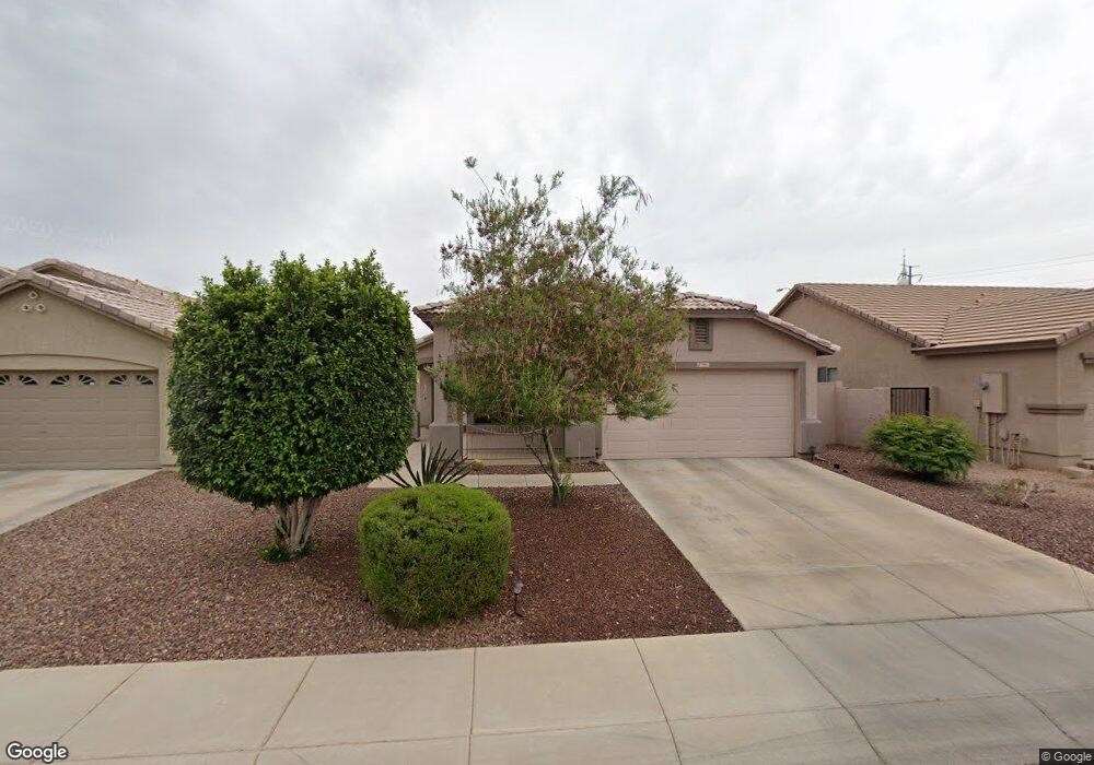
7511 S 43rd Dr Laveen, AZ 85339
Laveen NeighborhoodEstimated Value: $310,259 - $406,000
--
Bed
2
Baths
1,611
Sq Ft
$231/Sq Ft
Est. Value
About This Home
This home is located at 7511 S 43rd Dr, Laveen, AZ 85339 and is currently estimated at $372,315, approximately $231 per square foot. 7511 S 43rd Dr is a home located in Maricopa County with nearby schools including Betty Fairfax High School, Phoenix Coding Academy, and Legacy Traditional School - Laveen Village.
Ownership History
Date
Name
Owned For
Owner Type
Purchase Details
Closed on
Aug 24, 2014
Sold by
Burnside Melinda E and Burnside Debra A
Bought by
Burnside Cheryl A and Burnside Debra A
Current Estimated Value
Purchase Details
Closed on
May 7, 2002
Sold by
Richmond American Homes Of Arizona Inc
Bought by
Burnside Debra A and Burnside Malinda E
Home Financials for this Owner
Home Financials are based on the most recent Mortgage that was taken out on this home.
Original Mortgage
$139,475
Interest Rate
6.69%
Mortgage Type
FHA
Create a Home Valuation Report for This Property
The Home Valuation Report is an in-depth analysis detailing your home's value as well as a comparison with similar homes in the area
Home Values in the Area
Average Home Value in this Area
Purchase History
| Date | Buyer | Sale Price | Title Company |
|---|---|---|---|
| Burnside Cheryl A | -- | None Available | |
| Burnside Debra A | $141,446 | Fidelity National Title |
Source: Public Records
Mortgage History
| Date | Status | Borrower | Loan Amount |
|---|---|---|---|
| Previous Owner | Burnside Debra A | $139,475 |
Source: Public Records
Tax History Compared to Growth
Tax History
| Year | Tax Paid | Tax Assessment Tax Assessment Total Assessment is a certain percentage of the fair market value that is determined by local assessors to be the total taxable value of land and additions on the property. | Land | Improvement |
|---|---|---|---|---|
| 2025 | $1,556 | $11,194 | -- | -- |
| 2024 | $1,527 | $10,661 | -- | -- |
| 2023 | $1,527 | $26,250 | $5,250 | $21,000 |
| 2022 | $1,481 | $19,220 | $3,840 | $15,380 |
| 2021 | $1,493 | $18,130 | $3,620 | $14,510 |
| 2020 | $1,453 | $16,400 | $3,280 | $13,120 |
| 2019 | $1,457 | $14,780 | $2,950 | $11,830 |
| 2018 | $1,386 | $13,460 | $2,690 | $10,770 |
| 2017 | $1,311 | $11,560 | $2,310 | $9,250 |
| 2016 | $1,244 | $10,500 | $2,100 | $8,400 |
| 2015 | $1,120 | $9,850 | $1,970 | $7,880 |
Source: Public Records
Map
Nearby Homes
- 4409 W Dunbar Dr
- 7035 S 43rd Dr
- 4315 W Carson Rd
- 4332 W Carson Rd
- 7904 S 41st Ln
- 7503 S 45th Dr
- 4323 W Darrel Rd
- 4539 W Beautiful Ln
- 4335 W Apollo Rd
- 6915 S 46th Dr
- 4318 W Apollo Rd
- 4605 W Beverly Rd Unit 2
- 4726 W Fremont Rd
- 4745 W Fremont Rd
- 4634 W Shumway Farm Rd
- 8213 S Jenna Ln
- 4352 W St Catherine Ave Unit 3
- 8222 S Jenna Ln
- 4812 W Dunbar Dr
- 4501 W Carter Rd Unit 8
- 7507 S 43rd Dr
- 7515 S 43rd Dr
- 7503 S 43rd Dr
- 7519 S 43rd Dr
- 4307 W Darrow St
- 7429 S 43rd Dr
- 7523 S 43rd Dr
- 9414 S 43rd Dr
- 4311 W Darrow St
- 7425 S 43rd Dr
- 7527 S 43rd Dr
- 7518 S 43rd Dr
- 4308 W Darrow St
- 4315 W Darrow St
- 7522 S 43rd Dr
- 7421 S 43rd Dr
- 4312 W Darrow St
- 7526 S 43rd Dr
- 4300 W Baseline Rd
- 4319 W Darrow St