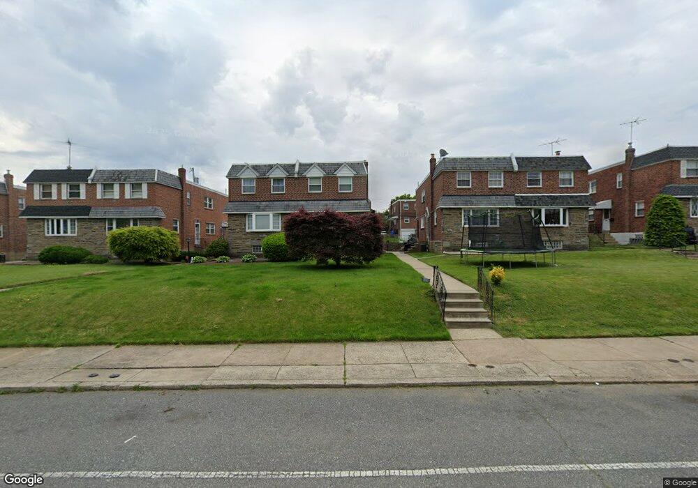
7513 Brous Ave Philadelphia, PA 19152
Mayfair NeighborhoodEstimated Value: $367,203 - $401,000
4
Beds
1
Bath
1,518
Sq Ft
$252/Sq Ft
Est. Value
About This Home
This home is located at 7513 Brous Ave, Philadelphia, PA 19152 and is currently estimated at $381,801, approximately $251 per square foot. 7513 Brous Ave is a home with nearby schools including Lincoln High School, Northeast Community Propel Academy, and St. Matthew School.
Ownership History
Date
Name
Owned For
Owner Type
Purchase Details
Closed on
Jun 28, 2004
Sold by
Hill Robert and Hill Mary Corinne
Bought by
Rome Joseph C and Rome Megan
Current Estimated Value
Home Financials for this Owner
Home Financials are based on the most recent Mortgage that was taken out on this home.
Original Mortgage
$132,000
Outstanding Balance
$64,429
Interest Rate
5.87%
Mortgage Type
Purchase Money Mortgage
Estimated Equity
$317,372
Create a Home Valuation Report for This Property
The Home Valuation Report is an in-depth analysis detailing your home's value as well as a comparison with similar homes in the area
Home Values in the Area
Average Home Value in this Area
Purchase History
| Date | Buyer | Sale Price | Title Company |
|---|---|---|---|
| Rome Joseph C | $165,000 | -- |
Source: Public Records
Mortgage History
| Date | Status | Borrower | Loan Amount |
|---|---|---|---|
| Open | Rome Joseph C | $132,000 |
Source: Public Records
Tax History Compared to Growth
Tax History
| Year | Tax Paid | Tax Assessment Tax Assessment Total Assessment is a certain percentage of the fair market value that is determined by local assessors to be the total taxable value of land and additions on the property. | Land | Improvement |
|---|---|---|---|---|
| 2025 | $4,460 | $398,400 | $79,680 | $318,720 |
| 2024 | $4,460 | $398,400 | $79,680 | $318,720 |
| 2023 | $4,460 | $318,600 | $63,720 | $254,880 |
| 2022 | $2,997 | $273,600 | $63,720 | $209,880 |
| 2021 | $3,627 | $0 | $0 | $0 |
| 2020 | $3,627 | $0 | $0 | $0 |
| 2019 | $3,302 | $0 | $0 | $0 |
| 2018 | $2,082 | $0 | $0 | $0 |
| 2017 | $2,501 | $0 | $0 | $0 |
| 2016 | $2,082 | $0 | $0 | $0 |
| 2015 | $1,993 | $0 | $0 | $0 |
| 2014 | -- | $178,700 | $55,513 | $123,187 |
| 2012 | -- | $24,576 | $3,522 | $21,054 |
Source: Public Records
Map
Nearby Homes
- 3036 Nesper St
- 7416 Revere St
- 3114 Nesper St
- 7418 Revere St
- 3011 Teesdale St
- 3034 Teesdale St
- 7233 Barnard Ave
- 7703 Brous Ave
- 3219 Teesdale St
- 3118 Cottman Ave
- 2547 Shelmire Ave
- 3222 Guilford St
- 3227 Cottman Ave
- 3243 Teesdale St
- 7521 Calvert St
- 7525 Calvert St
- 3136 Wellington St
- 3252 Cottman Ave
- 3318 Guilford St
- 3239 Wellington St
- 7511 Brous Ave
- 7515 Brous Ave
- 7509 Brous Ave
- 7517 Brous Ave
- 7507 Brous Ave
- 7519 Brous Ave
- 7505 Brous Ave
- 7521 Brous Ave
- 7523 Brous Ave
- 7506 Battersby St
- 7503 Brous Ave
- 7504 Battersby St
- 7510 Battersby St
- 7508 Battersby St
- 7514 Battersby St
- 7525 Brous Ave
- 7501 Brous Ave
- 7516 Battersby St
- 7502 Battersby St
- 7500 Battersby St