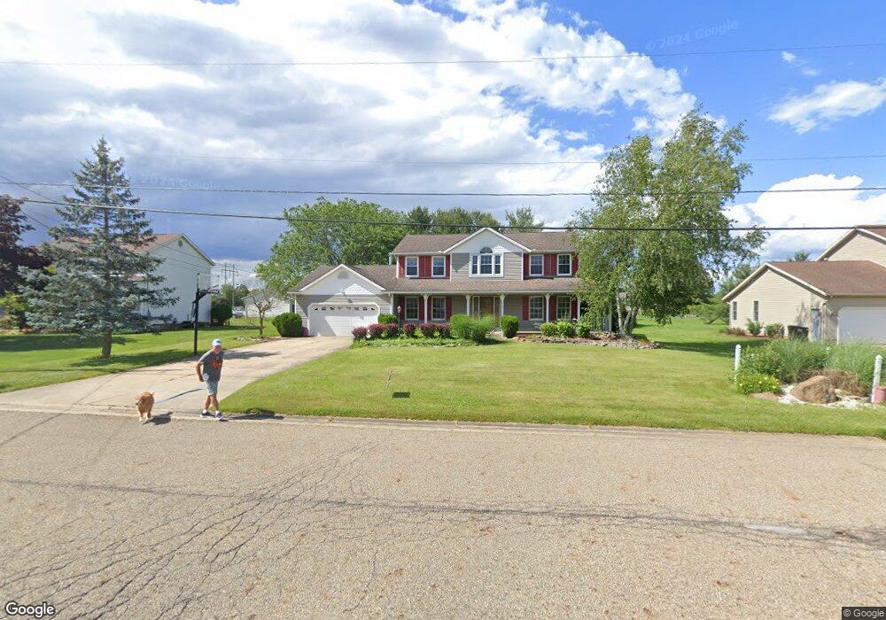
7513 Roni St SW Massillon, OH 44646
Southeast Massillon NeighborhoodEstimated Value: $320,000 - $391,000
4
Beds
3
Baths
2,432
Sq Ft
$142/Sq Ft
Est. Value
About This Home
This home is located at 7513 Roni St SW, Massillon, OH 44646 and is currently estimated at $346,091, approximately $142 per square foot. 7513 Roni St SW is a home located in Stark County with nearby schools including Pfeiffer Intermediate School, Edison Middle School, and Perry High School.
Ownership History
Date
Name
Owned For
Owner Type
Purchase Details
Closed on
Jan 13, 2025
Sold by
Wedekamm Timothy W and Wedekamm Kara M
Bought by
Yoder Randy and Yoder Gina
Current Estimated Value
Purchase Details
Closed on
Jan 19, 2024
Sold by
Maier George T
Bought by
Hill Michael W and Hill Denise R
Purchase Details
Closed on
Aug 14, 2003
Sold by
Brill Richard K
Bought by
Hill Michael W and Hill Denise R
Home Financials for this Owner
Home Financials are based on the most recent Mortgage that was taken out on this home.
Original Mortgage
$149,600
Interest Rate
5.47%
Mortgage Type
Purchase Money Mortgage
Purchase Details
Closed on
Jan 28, 2000
Sold by
Brill Danita C
Bought by
Brill Richard K
Home Financials for this Owner
Home Financials are based on the most recent Mortgage that was taken out on this home.
Original Mortgage
$141,000
Interest Rate
8.08%
Purchase Details
Closed on
May 7, 1993
Create a Home Valuation Report for This Property
The Home Valuation Report is an in-depth analysis detailing your home's value as well as a comparison with similar homes in the area
Home Values in the Area
Average Home Value in this Area
Purchase History
| Date | Buyer | Sale Price | Title Company |
|---|---|---|---|
| Yoder Randy | $312,000 | None Listed On Document | |
| Yoder Randy | $312,000 | None Listed On Document | |
| Hill Michael W | $225,100 | None Listed On Document | |
| Hill Michael W | $187,000 | -- | |
| Brill Richard K | -- | -- | |
| -- | $18,700 | -- |
Source: Public Records
Mortgage History
| Date | Status | Borrower | Loan Amount |
|---|---|---|---|
| Previous Owner | Hill Michael W | $149,600 | |
| Previous Owner | Brill Richard K | $141,000 | |
| Closed | Hill Michael W | $28,050 |
Source: Public Records
Tax History Compared to Growth
Tax History
| Year | Tax Paid | Tax Assessment Tax Assessment Total Assessment is a certain percentage of the fair market value that is determined by local assessors to be the total taxable value of land and additions on the property. | Land | Improvement |
|---|---|---|---|---|
| 2025 | -- | $110,390 | $25,620 | $84,770 |
| 2024 | -- | $113,610 | $28,840 | $84,770 |
| 2023 | $3,997 | $79,730 | $16,730 | $63,000 |
| 2022 | $4,015 | $79,730 | $16,730 | $63,000 |
| 2021 | $4,277 | $79,730 | $16,730 | $63,000 |
| 2020 | $3,778 | $67,560 | $14,040 | $53,520 |
| 2019 | $3,204 | $63,530 | $14,040 | $49,490 |
| 2018 | $3,165 | $63,530 | $14,040 | $49,490 |
| 2017 | $3,510 | $65,280 | $11,550 | $53,730 |
| 2016 | $3,529 | $65,280 | $11,550 | $53,730 |
| 2015 | $3,561 | $65,280 | $11,550 | $53,730 |
| 2014 | $1,639 | $65,700 | $11,620 | $54,080 |
| 2013 | $1,732 | $65,700 | $11,620 | $54,080 |
Source: Public Records
Map
Nearby Homes
- 4657 Stevie Ave SW
- 4691 Stevie Ave SW
- 4716 Stevie Ave SW
- 7503 Kenny St SW
- 4703 Stevie Ave SW
- 7216 Crusader St SW
- 7245 Jimmie St SW
- 7349 Navarre Rd SW
- 8160 Navarre Rd SW
- 8202 Navarre Rd SW
- 6534 Highton St SW
- 8471 Henry St SW
- 4111 Harbrook St SW
- 248 Bender St NE
- 19 Sprankle St NE
- 1 B St SW
- 0 Navarre Rd SW Unit 5093073
- 119 A St SW
- 5240 Emil Ave SW Unit 107
- 10 B St SW
- 7489 Roni St SW
- 7531 Roni St SW
- 4504 Lachelle Ave SW
- 7524 Roni St SW
- 7457 Roni St SW
- 4474 Lachelle Ave SW
- 4486 Lachelle Ave SW
- 7490 Roni St SW
- 4501 Barbie Ave SW
- 7546 Roni St SW
- 7571 Roni St SW
- 7460 Roni St SW
- 4503 Lachelle Ave SW
- 7566 Roni St SW
- 58 Stevie Ave SW
- 60 Stevie Ave SW
- 74 Stevie Ave SW
- 4475 Barbie Ave SW
- 4487 Lachelle Ave SW
- 4473 Lachelle Ave SW