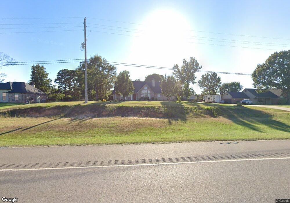
7515 Highway 1 Shreveport, LA 71107
Estimated Value: $270,000 - $282,000
4
Beds
2
Baths
2,032
Sq Ft
$135/Sq Ft
Est. Value
About This Home
This home is located at 7515 Highway 1, Shreveport, LA 71107 and is currently estimated at $274,759, approximately $135 per square foot. 7515 Highway 1 is a home located in Caddo Parish with nearby schools including Mooringsport Elementary School, Judson Fundamental Elementary School, and Fairfield Magnet School.
Ownership History
Date
Name
Owned For
Owner Type
Purchase Details
Closed on
Oct 13, 2010
Sold by
Cooper Michael Bartow and Collins Cooper Stacey Michelle
Bought by
Harvey Jackie and Henry Harvey Gloria Mae
Current Estimated Value
Home Financials for this Owner
Home Financials are based on the most recent Mortgage that was taken out on this home.
Original Mortgage
$210,070
Outstanding Balance
$137,917
Interest Rate
4.25%
Mortgage Type
FHA
Estimated Equity
$136,842
Purchase Details
Closed on
Oct 18, 2005
Sold by
E & L Development Inc
Bought by
Cooper Michael Bartow and Cooper Stacey Michelle
Home Financials for this Owner
Home Financials are based on the most recent Mortgage that was taken out on this home.
Original Mortgage
$149,800
Interest Rate
5.69%
Mortgage Type
Unknown
Create a Home Valuation Report for This Property
The Home Valuation Report is an in-depth analysis detailing your home's value as well as a comparison with similar homes in the area
Home Values in the Area
Average Home Value in this Area
Purchase History
| Date | Buyer | Sale Price | Title Company |
|---|---|---|---|
| Harvey Jackie | $212,900 | None Available | |
| Cooper Michael Bartow | $187,300 | None Available |
Source: Public Records
Mortgage History
| Date | Status | Borrower | Loan Amount |
|---|---|---|---|
| Open | Harvey Jackie | $210,070 | |
| Previous Owner | Cooper Michael Bartow | $149,800 |
Source: Public Records
Tax History Compared to Growth
Tax History
| Year | Tax Paid | Tax Assessment Tax Assessment Total Assessment is a certain percentage of the fair market value that is determined by local assessors to be the total taxable value of land and additions on the property. | Land | Improvement |
|---|---|---|---|---|
| 2024 | $3,428 | $21,775 | $4,190 | $17,585 |
| 2023 | $3,257 | $20,137 | $3,990 | $16,147 |
| 2022 | $3,257 | $20,137 | $3,990 | $16,147 |
| 2021 | $3,258 | $20,137 | $3,990 | $16,147 |
| 2020 | $3,259 | $20,137 | $3,990 | $16,147 |
| 2019 | $3,206 | $19,963 | $3,990 | $15,973 |
| 2018 | $1,892 | $19,963 | $3,990 | $15,973 |
| 2017 | $3,166 | $19,963 | $3,990 | $15,973 |
| 2015 | $1,838 | $19,390 | $3,990 | $15,400 |
| 2014 | $1,850 | $19,390 | $3,990 | $15,400 |
| 2013 | -- | $19,390 | $3,990 | $15,400 |
Source: Public Records
Map
Nearby Homes
- 6964 Emerald Bay Loop
- 6980 Regatta Dr
- 6154 Pine Tree Loop
- 6186 Pine Tree Loop
- 6948 N Colony Dr
- 6625 Springlake Cir
- 0 Morrow Rd
- 0 Mirkwood Unit 94 20698275
- 0 Mirkwood Unit 97 20698306
- 0 Mirkwood Unit 96 20698300
- 7478 Henderson Gin Rd
- 7436 Henderson Gin Rd
- 009 Castle Dale Loop
- 8340 Old Mooringsport Rd
- 7415 Henderson Gin Rd
- 8818 Mccain Rd
- 2257 Soda Lake Cir
- 9480 Mccain Rd
- 2271 Soda Lake Cir
- 2286 J And j Trail
- 7485 Highway 1
- 7535 Highway 1
- 7349 Highway 1
- 7545 Highway 1
- 6893 Emerald Bay Loop
- 6889 Emerald Bay Loop
- 6885 Emerald Bay Loop
- 6901 Emerald Bay Loop
- 7520 Highway 1
- 6897 Emerald Bay Loop
- 7555 Highway 1
- 7329 Louisiana 1
- 7035 Emerald Bay Loop
- 6905 Emerald Bay Loop
- 6909 Emerald Bay Loop
- 7029 Emerald Bay Loop
- 7324 Martha St
- 7565 Highway 1
- 6913 Emerald Bay Loop
- 7334 Martha St