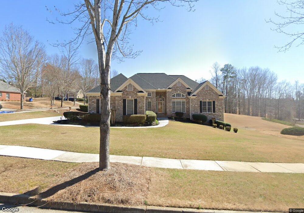
752 Hayes Ct Unit 6 Atlanta, GA 30349
Estimated Value: $374,417 - $478,000
3
Beds
3
Baths
2,389
Sq Ft
$175/Sq Ft
Est. Value
About This Home
This home is located at 752 Hayes Ct Unit 6, Atlanta, GA 30349 and is currently estimated at $417,604, approximately $174 per square foot. 752 Hayes Ct Unit 6 is a home located in Fulton County with nearby schools including Cliftondale Elementary School, Renaissance Middle School, and Langston Hughes High School.
Ownership History
Date
Name
Owned For
Owner Type
Purchase Details
Closed on
Dec 7, 2010
Sold by
Everbank
Bought by
Federal Natl Mtg Assn Fnma
Current Estimated Value
Purchase Details
Closed on
Jul 3, 2003
Sold by
Lord Nesbitt and Lord Co
Bought by
Vanmorris Rickey
Home Financials for this Owner
Home Financials are based on the most recent Mortgage that was taken out on this home.
Original Mortgage
$295,900
Interest Rate
5.29%
Mortgage Type
New Conventional
Create a Home Valuation Report for This Property
The Home Valuation Report is an in-depth analysis detailing your home's value as well as a comparison with similar homes in the area
Home Values in the Area
Average Home Value in this Area
Purchase History
| Date | Buyer | Sale Price | Title Company |
|---|---|---|---|
| Federal Natl Mtg Assn Fnma | -- | -- | |
| Everbank | $281,572 | -- | |
| Vanmorris Rickey | $295,900 | -- |
Source: Public Records
Mortgage History
| Date | Status | Borrower | Loan Amount |
|---|---|---|---|
| Previous Owner | Vanmorris Rickey | $295,900 |
Source: Public Records
Tax History Compared to Growth
Tax History
| Year | Tax Paid | Tax Assessment Tax Assessment Total Assessment is a certain percentage of the fair market value that is determined by local assessors to be the total taxable value of land and additions on the property. | Land | Improvement |
|---|---|---|---|---|
| 2025 | $1,756 | $158,160 | $40,720 | $117,440 |
| 2023 | $4,464 | $158,160 | $40,720 | $117,440 |
| 2022 | $1,762 | $120,920 | $21,640 | $99,280 |
| 2021 | $1,709 | $117,400 | $21,000 | $96,400 |
| 2020 | $1,699 | $116,000 | $20,760 | $95,240 |
| 2019 | $2,089 | $113,080 | $24,320 | $88,760 |
| 2018 | $1,629 | $99,720 | $15,120 | $84,600 |
| 2017 | $1,758 | $71,200 | $13,880 | $57,320 |
| 2016 | $1,878 | $71,200 | $13,880 | $57,320 |
| 2015 | $2,911 | $71,200 | $13,880 | $57,320 |
| 2014 | $2,820 | $65,400 | $13,680 | $51,720 |
Source: Public Records
Map
Nearby Homes
- 7425 Thoreau Cir
- 775 Ambrose Ln
- 640 Fitzgerald Place
- 7656 Cole Ln
- 7648 Cole Ln Unit 1C
- 0 W Stubbs Rd Unit (11.4 ACRES)
- 0 W Stubbs Rd Unit 7487198
- 2980 Oxford Rd
- 2970 Oxford Rd
- 733 Miller Run
- 260 Redding Ridge
- 7250 Old Chapel
- 275 Redding Ridge
- 450 Pinevale Ct
- 7198 Glaspie Way
- 440 Pinevale Ct
- 7847 Wrotham Cir
- 3495 Davis Blvd
- 748 Hayes Ct Unit 6
- 3435 Concord Loop
- 3422 Concord Loop
- 3418 Concord Loop Unit 6
- 3415 Concord Loop
- 753 Hayes Ct Unit 6
- 3411 Concord Loop
- 744 Hayes Ct
- 3414 Concord Loop Unit 6
- 3414 Concord Loop
- 765 Hayes Ct
- 3443 Concord Loop Unit 6
- 3434 Concord Loop Unit 31
- 3434 SW Concord Terrace Unit 31
- 3434 Concord Loop Unit 31
- 3434 Concord Loop
- 3410 Concord Loop Unit 6
- 740 Hayes Ct
- 749 Hayes Ct Unit 6
- 3451 Concord Loop