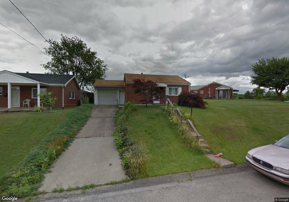
752 Memory Ln McKeesport, PA 15133
Estimated Value: $125,000 - $144,000
2
Beds
1
Bath
1,272
Sq Ft
$107/Sq Ft
Est. Value
About This Home
This home is located at 752 Memory Ln, McKeesport, PA 15133 and is currently estimated at $136,292, approximately $107 per square foot. 752 Memory Ln is a home located in Allegheny County with nearby schools including South Allegheny Elementary School, South Allegheny High School, and Young Scholars of Greater Allegheny Charter School.
Ownership History
Date
Name
Owned For
Owner Type
Purchase Details
Closed on
Nov 10, 2006
Sold by
Forgey David V
Bought by
Serfozo Sue E
Current Estimated Value
Home Financials for this Owner
Home Financials are based on the most recent Mortgage that was taken out on this home.
Original Mortgage
$62,910
Outstanding Balance
$37,587
Interest Rate
6.39%
Mortgage Type
New Conventional
Estimated Equity
$98,705
Purchase Details
Closed on
Dec 10, 1998
Sold by
Markovich Caroline M
Bought by
Forgey David V
Purchase Details
Closed on
Jan 1, 1900
Create a Home Valuation Report for This Property
The Home Valuation Report is an in-depth analysis detailing your home's value as well as a comparison with similar homes in the area
Home Values in the Area
Average Home Value in this Area
Purchase History
| Date | Buyer | Sale Price | Title Company |
|---|---|---|---|
| Serfozo Sue E | $69,900 | -- | |
| Forgey David V | $56,500 | -- | |
| -- | -- | -- |
Source: Public Records
Mortgage History
| Date | Status | Borrower | Loan Amount |
|---|---|---|---|
| Open | Serfozo Sue E | $62,910 |
Source: Public Records
Tax History
| Year | Tax Paid | Tax Assessment Tax Assessment Total Assessment is a certain percentage of the fair market value that is determined by local assessors to be the total taxable value of land and additions on the property. | Land | Improvement |
|---|---|---|---|---|
| 2025 | $2,119 | $56,200 | $12,100 | $44,100 |
| 2024 | $2,119 | $56,200 | $12,100 | $44,100 |
| 2023 | $2,036 | $56,200 | $12,100 | $44,100 |
| 2022 | $1,905 | $56,200 | $12,100 | $44,100 |
| 2021 | $186 | $56,200 | $12,100 | $44,100 |
| 2020 | $1,811 | $56,200 | $12,100 | $44,100 |
| 2019 | $1,719 | $56,200 | $12,100 | $44,100 |
| 2017 | $1,572 | $56,200 | $12,100 | $44,100 |
Source: Public Records
Map
Nearby Homes
Your Personal Tour Guide
Ask me questions while you tour the home.