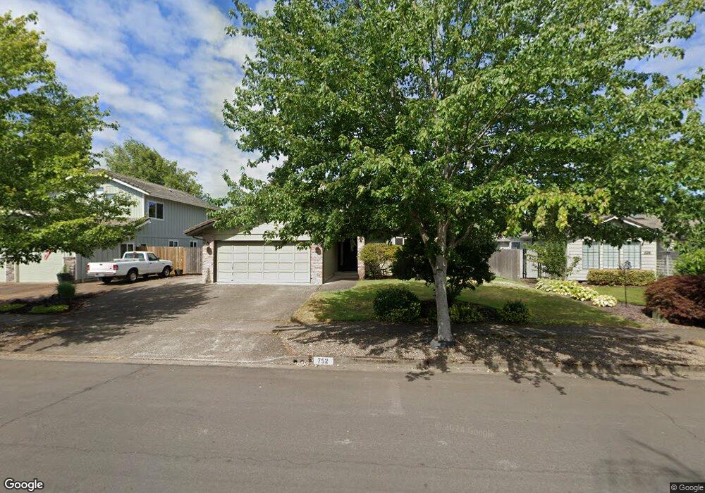
752 Poltava St Springfield, OR 97477
West Springfield NeighborhoodEstimated Value: $473,209 - $525,000
About This Home
This home is located at 752 Poltava St, Springfield, OR 97477 and is currently estimated at $501,802, approximately $336 per square foot. 752 Poltava St is a home located in Lane County with nearby schools including Centennial Elementary School, Hamlin Middle School, and Springfield High School.
Ownership History
We collect this data history from publicly available records. To have your information removed, we recommend requesting removal directly through your county’s website.
Purchase Details
Purchase Details
Home Financials for this Owner
Home Financials are based on the most recent Mortgage that was taken out on this home.Home Values in the Area
Average Home Value in this Area
Purchase History
We collect this data history from publicly available records. To have your information removed, we recommend requesting removal directly through your county’s website.
| Date | Buyer | Sale Price | Title Company |
|---|---|---|---|
| $260,000 | Western Title & Escrow Co | ||
| $245,000 | Western Title & Escrow Compa |
Mortgage History
We collect this data history from publicly available records. To have your information removed, we recommend requesting removal directly through your county’s website.
| Date | Status | Borrower | Loan Amount |
|---|---|---|---|
| Previous Owner | $196,000 |
Tax History
We collect this data history from publicly available records. To have your information removed, we recommend requesting removal directly through your county’s website.
| Year | Tax Paid | Tax Assessment Tax Assessment Total Assessment is a certain percentage of the fair market value that is determined by local assessors to be the total taxable value of land and additions on the property. | Land | Improvement |
|---|---|---|---|---|
| 2025 | $5,408 | $294,902 | -- | -- |
| 2024 | $5,320 | $286,313 | -- | -- |
| 2023 | $5,320 | $277,974 | $0 | $0 |
| 2022 | $4,927 | $269,878 | $0 | $0 |
| 2021 | $4,839 | $262,018 | $0 | $0 |
| 2020 | $4,698 | $254,387 | $0 | $0 |
| 2019 | $4,556 | $246,978 | $0 | $0 |
| 2018 | $4,295 | $232,801 | $0 | $0 |
| 2017 | $4,130 | $232,801 | $0 | $0 |
| 2016 | $4,031 | $226,020 | $0 | $0 |
| 2015 | $3,928 | $219,437 | $0 | $0 |
| 2014 | $3,834 | $213,046 | $0 | $0 |
Map
- 835 Anderson Ln
- 1074 Hamilton St
- 1171 Lodgepole Ct
- 977 Island St
- 502 Covey Ln
- 962 Rainbow Dr
- 482 Covey Ln
- 1130 Anderson Ln
- 967 Rainbow Dr
- 439 Covey Ln
- 940 W M St
- 930 Prescott Ln
- 992 Sunset Dr
- 804 W N St
- 1120 W Fairview Dr Unit 48
- 1310 W Quinalt St
- 420 Riverview Blvd
- 956 Kelly Blvd
- 1735 Rainbow Dr
- 1758 Rainbow Dr
- 1496 Diamond St
- 731 Poltava St
- 1464 Diamond St
- 753 Poltava St
- 1491 Diamond St
- 1514 Diamond St
- 1473 Diamond St
- 730 Poltava St
- 685 Poltava St
- 775 Poltava St
- 690 Poltava St
- 1465 Oksanna St
- 672 Poltava St
- 1487 Oksanna St
- 774 Poltava St
- 717 Rowan Ave
- 633 Poltava St
- 721 Rowan Ave
- 1472 Kiev St
- 1411 Oksanna St
Ask me questions while you tour the home.