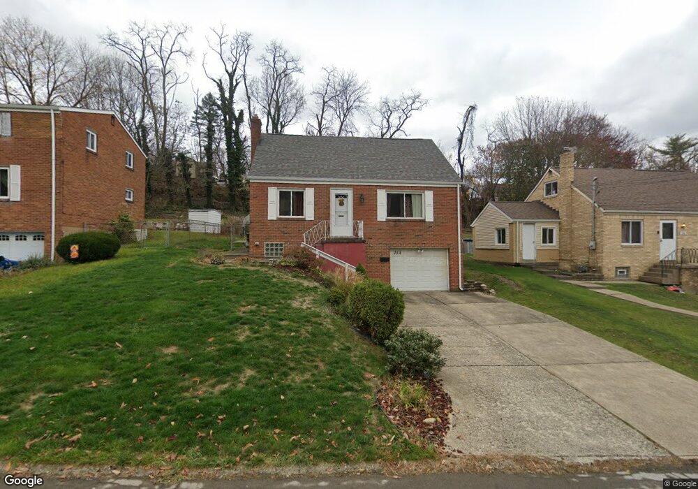
752 Shadyside Dr West Mifflin, PA 15122
Estimated Value: $168,000 - $202,974
3
Beds
3
Baths
1,163
Sq Ft
$157/Sq Ft
Est. Value
About This Home
This home is located at 752 Shadyside Dr, West Mifflin, PA 15122 and is currently estimated at $182,494, approximately $156 per square foot. 752 Shadyside Dr is a home located in Allegheny County with nearby schools including West Mifflin Area High School, Walnut Grove Christian School, and St Agnes School.
Ownership History
Date
Name
Owned For
Owner Type
Purchase Details
Closed on
Mar 24, 2009
Sold by
Bank Of New York
Bought by
Spisak Lori A
Current Estimated Value
Home Financials for this Owner
Home Financials are based on the most recent Mortgage that was taken out on this home.
Original Mortgage
$69,000
Outstanding Balance
$43,618
Interest Rate
5.02%
Mortgage Type
New Conventional
Estimated Equity
$138,876
Purchase Details
Closed on
Oct 6, 2008
Sold by
Opferman Tracy S
Bought by
Bank Of New York
Purchase Details
Closed on
May 26, 2006
Sold by
Bodnar June A
Bought by
Opferman Tracy S
Home Financials for this Owner
Home Financials are based on the most recent Mortgage that was taken out on this home.
Original Mortgage
$77,600
Interest Rate
6.55%
Mortgage Type
New Conventional
Create a Home Valuation Report for This Property
The Home Valuation Report is an in-depth analysis detailing your home's value as well as a comparison with similar homes in the area
Home Values in the Area
Average Home Value in this Area
Purchase History
| Date | Buyer | Sale Price | Title Company |
|---|---|---|---|
| Spisak Lori A | $69,000 | -- | |
| Bank Of New York | $2,093 | -- | |
| Opferman Tracy S | $97,000 | -- |
Source: Public Records
Mortgage History
| Date | Status | Borrower | Loan Amount |
|---|---|---|---|
| Open | Spisak Lori A | $69,000 | |
| Previous Owner | Opferman Tracy S | $77,600 |
Source: Public Records
Tax History Compared to Growth
Tax History
| Year | Tax Paid | Tax Assessment Tax Assessment Total Assessment is a certain percentage of the fair market value that is determined by local assessors to be the total taxable value of land and additions on the property. | Land | Improvement |
|---|---|---|---|---|
| 2025 | $3,567 | $69,300 | $18,200 | $51,100 |
| 2024 | $3,567 | $69,300 | $18,200 | $51,100 |
| 2023 | $3,519 | $69,300 | $18,200 | $51,100 |
| 2022 | $3,414 | $69,300 | $18,200 | $51,100 |
| 2021 | $328 | $69,300 | $18,200 | $51,100 |
| 2020 | $3,285 | $69,300 | $18,200 | $51,100 |
| 2019 | $3,242 | $69,300 | $18,200 | $51,100 |
| 2018 | $328 | $69,300 | $18,200 | $51,100 |
| 2017 | $2,571 | $69,300 | $18,200 | $51,100 |
| 2016 | $328 | $69,300 | $18,200 | $51,100 |
| 2015 | $328 | $69,300 | $18,200 | $51,100 |
| 2014 | $2,549 | $69,300 | $18,200 | $51,100 |
Source: Public Records
Map
Nearby Homes
- 828 Alberta Dr
- 444 Spring Valley Rd
- 323 Livingston Rd
- 1157 Lebanon School Rd
- 540 Lisa Dr
- 0 Lebanon School Rd
- 436 Lisa Dr
- 109 Pennington Dr
- 1016 Dana Dr
- 1004 Kentucky Blue Dr
- 1717 Gina Dr
- 1864 Timothy Dr
- 3326 New England Rd
- 0 Clairton Rd
- 4009 Fleetwood Dr
- 453 Coal Valley Rd
- 1613 State Route 885
- 463 Coal Valley Rd
- 6847 Wilson St
- 337 Coal Valley Rd
- 748 Shadyside Dr
- 800 Shadyside Dr
- 804 Shadyside Dr
- 744 Shadyside Dr
- 314 Dennison Dr
- 318 Dennison Dr
- 749 Shadyside Dr
- 753 Shadyside Dr
- 740 Shadyside Dr
- 801 Shadyside Dr
- 322 Dennison Dr
- 310 Dennison Dr
- 741 Shadyside Dr
- 304 Dennison Dr
- 805 Shadyside Dr
- 736 Shadyside Dr
- 400 Dennison Dr
- 812 Shadyside Dr
- 844 Shadyside Dr
- 739 Shadyside Dr