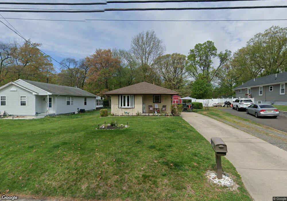
752 Woodland Ave Westville, NJ 08093
Deptford Township NeighborhoodEstimated Value: $212,988 - $343,000
--
Bed
--
Bath
1,212
Sq Ft
$235/Sq Ft
Est. Value
About This Home
This home is located at 752 Woodland Ave, Westville, NJ 08093 and is currently estimated at $284,997, approximately $235 per square foot. 752 Woodland Ave is a home located in Gloucester County with nearby schools including Deptford Township High School and Holy Angels Catholic School.
Ownership History
Date
Name
Owned For
Owner Type
Purchase Details
Closed on
Mar 20, 1998
Sold by
Klein John L and Klein Sheryl A
Bought by
Damm Robert A
Current Estimated Value
Home Financials for this Owner
Home Financials are based on the most recent Mortgage that was taken out on this home.
Original Mortgage
$88,855
Outstanding Balance
$16,169
Interest Rate
6.96%
Mortgage Type
FHA
Estimated Equity
$268,828
Create a Home Valuation Report for This Property
The Home Valuation Report is an in-depth analysis detailing your home's value as well as a comparison with similar homes in the area
Home Values in the Area
Average Home Value in this Area
Purchase History
| Date | Buyer | Sale Price | Title Company |
|---|---|---|---|
| Damm Robert A | $89,000 | Group 21 Title Agency |
Source: Public Records
Mortgage History
| Date | Status | Borrower | Loan Amount |
|---|---|---|---|
| Open | Damm Robert A | $88,855 |
Source: Public Records
Tax History Compared to Growth
Tax History
| Year | Tax Paid | Tax Assessment Tax Assessment Total Assessment is a certain percentage of the fair market value that is determined by local assessors to be the total taxable value of land and additions on the property. | Land | Improvement |
|---|---|---|---|---|
| 2025 | $4,739 | $132,200 | $36,600 | $95,600 |
| 2024 | $4,587 | $132,200 | $36,600 | $95,600 |
| 2023 | $4,587 | $132,200 | $36,600 | $95,600 |
| 2022 | $4,554 | $132,200 | $36,600 | $95,600 |
| 2021 | $4,490 | $132,200 | $36,600 | $95,600 |
| 2020 | $4,438 | $132,200 | $36,600 | $95,600 |
| 2019 | $4,353 | $132,200 | $36,600 | $95,600 |
| 2018 | $4,256 | $132,200 | $36,600 | $95,600 |
| 2017 | $4,142 | $132,200 | $36,600 | $95,600 |
| 2016 | $4,057 | $132,200 | $36,600 | $95,600 |
| 2015 | $3,932 | $132,200 | $36,600 | $95,600 |
| 2014 | $3,830 | $132,200 | $36,600 | $95,600 |
Source: Public Records
Map
Nearby Homes
- 761 Carteret Ave
- 787 Tacoma Blvd
- 1093 Delsea Dr
- 615 Lot: 1.01 Carteret
- 615 L1.02 Carteret Ave
- 715 Winding Way Unit G15
- 416 Winding Way
- 406 Winding Way
- 86 Peach St
- 308 Winding Way Unit C8
- 230 Marion Ave
- 131 Andaloro Way
- 372 Marion Ave
- 58 Fisher Ave
- 17 Peach St
- 1240 Delsea Dr
- 17 Magnolia St
- 13 Cordelia Ave
- 433 Trowbridge Ave
- 338 E Red Bank Ave
- 756 Woodland Ave
- 748 Woodland Ave
- 744 Woodland Ave
- 764 Woodland Ave
- 738 Woodland Ave
- 755 Woodland Ave
- 761 Woodland Ave
- 745 Woodland Ave
- 770 Woodland Ave
- 741 Woodland Ave
- 765 Woodland Ave
- 741 Carteret Ave
- 732 Woodland Ave
- 737 Woodland Ave
- 769 Woodland Ave
- 615 Carteret Ave
- 728 Woodland Ave
- 773 Woodland Ave
- 733 Woodland Ave
- 756 Tacoma Blvd