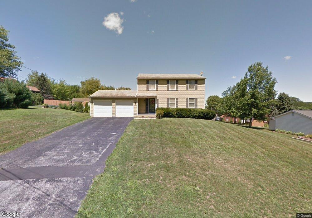
7521 Spring Rd Brookfield, OH 44403
Estimated Value: $205,475 - $270,000
4
Beds
3
Baths
1,792
Sq Ft
$127/Sq Ft
Est. Value
About This Home
This home is located at 7521 Spring Rd, Brookfield, OH 44403 and is currently estimated at $226,869, approximately $126 per square foot. 7521 Spring Rd is a home located in Trumbull County with nearby schools including Brookfield Elementary School, Brookfield Middle School, and Brookfield High School.
Ownership History
Date
Name
Owned For
Owner Type
Purchase Details
Closed on
Jan 31, 2011
Sold by
Coyne Vincent J and Hiryak Coyne Esther
Bought by
Mack Michael C
Current Estimated Value
Home Financials for this Owner
Home Financials are based on the most recent Mortgage that was taken out on this home.
Original Mortgage
$73,098
Outstanding Balance
$50,232
Interest Rate
4.87%
Mortgage Type
FHA
Estimated Equity
$176,637
Purchase Details
Closed on
Apr 29, 2009
Sold by
Estate Of Diane R Coyne
Bought by
Coyne Vincent J
Purchase Details
Closed on
Jan 1, 1990
Bought by
Vincent J Coyne
Create a Home Valuation Report for This Property
The Home Valuation Report is an in-depth analysis detailing your home's value as well as a comparison with similar homes in the area
Purchase History
| Date | Buyer | Sale Price | Title Company |
|---|---|---|---|
| Mack Michael C | $75,000 | Attorney | |
| Coyne Vincent J | -- | None Available | |
| Vincent J Coyne | -- | -- |
Source: Public Records
Mortgage History
| Date | Status | Borrower | Loan Amount |
|---|---|---|---|
| Open | Mack Michael C | $73,098 |
Source: Public Records
Tax History
| Year | Tax Paid | Tax Assessment Tax Assessment Total Assessment is a certain percentage of the fair market value that is determined by local assessors to be the total taxable value of land and additions on the property. | Land | Improvement |
|---|---|---|---|---|
| 2024 | $2,909 | $47,470 | $9,980 | $37,490 |
| 2023 | $2,909 | $47,470 | $9,980 | $37,490 |
| 2022 | $3,082 | $41,480 | $8,650 | $32,830 |
| 2021 | $2,934 | $41,480 | $8,650 | $32,830 |
| 2020 | $2,920 | $41,480 | $8,650 | $32,830 |
| 2019 | $2,821 | $36,970 | $8,650 | $28,320 |
| 2018 | $2,803 | $36,970 | $8,650 | $28,320 |
| 2017 | $2,800 | $36,970 | $8,650 | $28,320 |
| 2016 | $2,707 | $33,990 | $8,580 | $25,410 |
| 2015 | $2,710 | $33,990 | $8,580 | $25,410 |
| 2014 | $2,701 | $33,990 | $8,580 | $25,410 |
| 2013 | $2,777 | $35,920 | $8,580 | $27,340 |
Source: Public Records
Map
Nearby Homes
- 7304 Oakwood Dr Unit 9
- 7159 Springdale Dr
- 7954 Warren - Sharon Rd
- 7086 Warren Sharon Rd
- 0 Addison Rd Unit 5181382
- 7085 Sunnydell Dr
- 6984 Warren Sharon Rd
- 1017 Broadway St
- 8198 Erie St
- 279 Fleming Way
- 7931 Service St
- 672 S Stateline Rd
- 676 S State Line Rd
- 457 Lincoln St
- 453 Lafayette Ave
- 331 A St
- 388 Lincoln St
- 780 S Irvine Ave
- 766 S Irvine Ave
- 449 N Water Ave
- 7533 Spring Rd
- 327 Golf Dr SE
- 337 Golf Dr SE
- 347 Golf Dr SE
- 7530 Warren Sharon Rd
- 356 Wintergreen Dr
- 351 Wintergreen Dr
- 316 Golf Dr SE
- 367 Golf Dr SE
- 366 Wintergreen Dr
- 7552 Warren Sharon Rd
- 342 Golf Dr SE
- 330 Golf Dr SE
- 363 Wintergreen Dr
- 320 Golf Dr SE
- 354 Golf Dr SE
- 7525 Warren Sharon Rd
- 376 Wintergreen Dr
- 373 Wintergreen Dr
- 7509 Warren Sharon
Your Personal Tour Guide
Ask me questions while you tour the home.