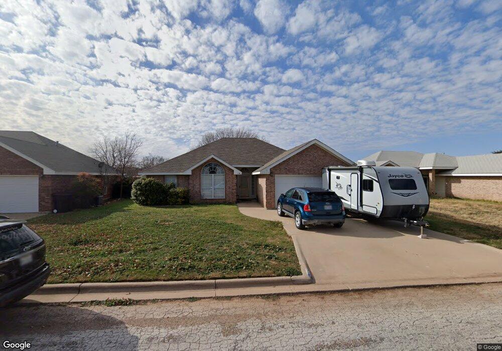
7526 Patricia Ln Abilene, TX 79606
Far Southside NeighborhoodEstimated Value: $225,000 - $232,000
3
Beds
2
Baths
1,434
Sq Ft
$160/Sq Ft
Est. Value
About This Home
This home is located at 7526 Patricia Ln, Abilene, TX 79606 and is currently estimated at $229,245, approximately $159 per square foot. 7526 Patricia Ln is a home located in Taylor County with nearby schools including Wylie West Early Childhood Center, Wylie West Intermediate School, and Wylie West Elementary School.
Ownership History
Date
Name
Owned For
Owner Type
Purchase Details
Closed on
Nov 2, 2020
Sold by
Howell Dennis H and Howell Helen Jewell
Bought by
Williamson Jerry and Williamson Deborah
Current Estimated Value
Purchase Details
Closed on
Aug 8, 2005
Sold by
Galgano Jennifer J
Bought by
Howell Dennis H and Howell Helen Jewell
Home Financials for this Owner
Home Financials are based on the most recent Mortgage that was taken out on this home.
Original Mortgage
$16,800
Interest Rate
5.65%
Mortgage Type
Future Advance Clause Open End Mortgage
Create a Home Valuation Report for This Property
The Home Valuation Report is an in-depth analysis detailing your home's value as well as a comparison with similar homes in the area
Home Values in the Area
Average Home Value in this Area
Purchase History
| Date | Buyer | Sale Price | Title Company |
|---|---|---|---|
| Williamson Jerry | -- | Servicelink | |
| Howell Dennis H | -- | None Available |
Source: Public Records
Mortgage History
| Date | Status | Borrower | Loan Amount |
|---|---|---|---|
| Previous Owner | Howell Dennis H | $16,800 | |
| Previous Owner | Howell Dennis H | $89,600 |
Source: Public Records
Tax History Compared to Growth
Tax History
| Year | Tax Paid | Tax Assessment Tax Assessment Total Assessment is a certain percentage of the fair market value that is determined by local assessors to be the total taxable value of land and additions on the property. | Land | Improvement |
|---|---|---|---|---|
| 2025 | $5,437 | $225,471 | $20,412 | $205,059 |
| 2023 | $5,437 | $215,283 | $10,368 | $204,915 |
| 2022 | $4,470 | $189,419 | $10,368 | $179,051 |
| 2021 | $4,168 | $161,817 | $10,368 | $151,449 |
| 2020 | $3,881 | $148,204 | $10,368 | $137,836 |
| 2019 | $3,917 | $145,359 | $9,072 | $136,287 |
| 2018 | $3,594 | $143,570 | $9,072 | $134,498 |
| 2017 | $3,429 | $142,189 | $9,072 | $133,117 |
| 2016 | $3,234 | $134,104 | $9,072 | $125,032 |
| 2015 | $2,850 | $131,364 | $9,072 | $122,292 |
| 2014 | $2,850 | $126,895 | $0 | $0 |
Source: Public Records
Map
Nearby Homes
- 7501 White Blvd
- 3809 Mark Ct
- 7710 John Carroll Dr
- 7801 Old Forrest Hill Rd
- 7967 Bonnie Cir
- 4634 Beall Blvd
- 8073 Bonnie Cir
- 4833 Meadow Dr
- 5001 Buffalo Gap Rd
- 4034 Forrest Hill Rd
- 6642 Buffalo Gap Rd
- 3676 Yamini Dr
- 6947 Forrest Meadows Dr
- 5002 Meadow Dr
- 8201 Cimarron Trail
- 6890 Buffalo Gap Rd
- 6781 Hillside Ct
- 8 Contour Dr
- 6717 Hillside Ct
- TBD Phoenix Dr
- 7518 Patricia Ln
- 7534 Patricia Ln
- 7510 Patricia Ln
- 7542 Patricia Ln
- 4141 Karen Dr
- 7502 Patricia Ln
- 7550 Patricia Ln
- 4134 Sera Dr
- 4142 Karen Dr
- 4133 Karen Dr
- 7525 Thompson Pkwy
- 7533 Thompson Pkwy
- 7602 Patricia Ln
- 7517 Thompson Pkwy
- 4126 Sera Dr
- 4125 Karen Dr
- 7541 Thompson Pkwy
- 4134 Karen Dr
- 7509 Thompson Pkwy
- 7610 Patricia Ln