7529 Lincoln Hwy Bedford, PA 15522
Estimated Value: $202,000 - $246,000
--
Bed
--
Bath
1,689
Sq Ft
$130/Sq Ft
Est. Value
About This Home
This home is located at 7529 Lincoln Hwy, Bedford, PA 15522 and is currently estimated at $219,900, approximately $130 per square foot. 7529 Lincoln Hwy is a home located in Bedford County with nearby schools including Bedford Elementary School, Bedford Middle School, and Bedford Senior High School.
Ownership History
Date
Name
Owned For
Owner Type
Purchase Details
Closed on
Aug 22, 2014
Sold by
Hoover William K and Hoover Anna Louise
Bought by
Leydig David R and Leydig Lisa R
Current Estimated Value
Home Financials for this Owner
Home Financials are based on the most recent Mortgage that was taken out on this home.
Original Mortgage
$75,000
Outstanding Balance
$57,251
Interest Rate
4.14%
Mortgage Type
New Conventional
Estimated Equity
$162,649
Create a Home Valuation Report for This Property
The Home Valuation Report is an in-depth analysis detailing your home's value as well as a comparison with similar homes in the area
Home Values in the Area
Average Home Value in this Area
Purchase History
| Date | Buyer | Sale Price | Title Company |
|---|---|---|---|
| Leydig David R | $83,000 | None Available |
Source: Public Records
Mortgage History
| Date | Status | Borrower | Loan Amount |
|---|---|---|---|
| Open | Leydig David R | $75,000 |
Source: Public Records
Tax History Compared to Growth
Tax History
| Year | Tax Paid | Tax Assessment Tax Assessment Total Assessment is a certain percentage of the fair market value that is determined by local assessors to be the total taxable value of land and additions on the property. | Land | Improvement |
|---|---|---|---|---|
| 2025 | $1,373 | $118,000 | $30,600 | $87,400 |
| 2024 | $1,771 | $118,000 | $30,600 | $87,400 |
| 2023 | $1,735 | $118,000 | $30,600 | $87,400 |
| 2022 | $1,713 | $118,000 | $30,600 | $87,400 |
| 2021 | $1,631 | $118,000 | $30,600 | $87,400 |
| 2020 | $1,581 | $118,000 | $30,600 | $87,400 |
| 2019 | $152 | $118,000 | $30,600 | $87,400 |
| 2018 | $152 | $118,000 | $30,600 | $87,400 |
| 2017 | $1,493 | $118,000 | $30,600 | $87,400 |
| 2016 | -- | $118,000 | $30,600 | $87,400 |
| 2014 | -- | $115,900 | $28,500 | $87,400 |
Source: Public Records
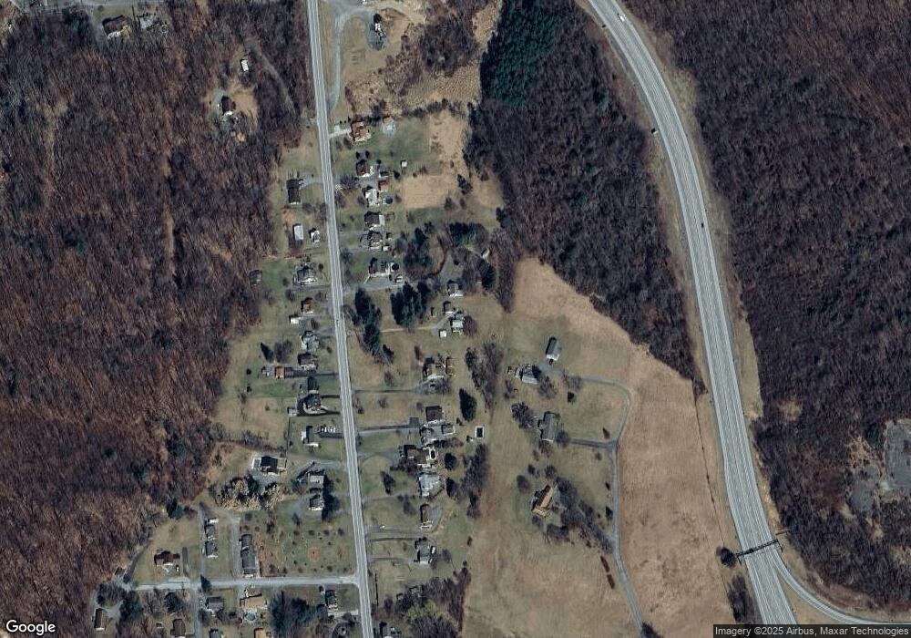
Map
Nearby Homes
- 169 Markwood Dr
- 14 Lincoln Dr
- 1060 Industrial Ave
- Off Forrest Ave
- 617 W Penn St
- 237 N Richard St Unit 4
- 132 S Thomas St
- 247 W John St
- 490 Forbes Rd
- 221 E Penn St
- 110 S East St
- 36,37,46 Oakwood Dr
- Lot 1 Off S Thomas St
- Lot 7 Off S Thomas St
- Lot 6 Off S Thomas St
- Lot 8 Off S Thomas St
- 313 E John St
- 414 S Richard St
- 420 S Richard St
- 680 Barclay Dr
- 7537 Lincoln Hwy
- 7549 Lincoln Hwy
- 7517 Lincoln Hwy
- 7509 Lincoln Hwy
- 7503 Lincoln Hwy
- 7495 Lincoln Hwy
- 7565 Lincoln Hwy
- 7526 Lincoln Hwy
- 7487 Lincoln Hwy
- 7536 Lincoln Hwy
- 7571 Lincoln Hwy
- 7544 Lincoln Hwy
- 227 Pearl Dr
- 7577 Lincoln Hwy
- 7504 Lincoln Hwy
- 7550 Lincoln Hwy
- 7475 Lincoln Hwy
- 7556 Lincoln Hwy
- 7516 Lincoln Hwy
- 7490 Lincoln Hwy