7529 Stewarts Wharf Rd Exmore, VA 23350
Estimated Value: $513,000 - $921,000
3
Beds
2
Baths
1,782
Sq Ft
$368/Sq Ft
Est. Value
About This Home
This home is located at 7529 Stewarts Wharf Rd, Exmore, VA 23350 and is currently estimated at $655,049, approximately $367 per square foot. 7529 Stewarts Wharf Rd is a home located in Northampton County with nearby schools including Northampton High School.
Ownership History
Date
Name
Owned For
Owner Type
Purchase Details
Closed on
Aug 26, 2013
Sold by
Dove Edwin O and Dove Margaret S
Bought by
Dove Edwin O and Dove Margaret S
Current Estimated Value
Home Financials for this Owner
Home Financials are based on the most recent Mortgage that was taken out on this home.
Original Mortgage
$637,500
Outstanding Balance
$637,393
Interest Rate
12.43%
Mortgage Type
Reverse Mortgage Home Equity Conversion Mortgage
Estimated Equity
$17,656
Create a Home Valuation Report for This Property
The Home Valuation Report is an in-depth analysis detailing your home's value as well as a comparison with similar homes in the area
Home Values in the Area
Average Home Value in this Area
Purchase History
| Date | Buyer | Sale Price | Title Company |
|---|---|---|---|
| Dove Edwin O | -- | -- |
Source: Public Records
Mortgage History
| Date | Status | Borrower | Loan Amount |
|---|---|---|---|
| Open | Dove Edwin O | $637,500 |
Source: Public Records
Tax History Compared to Growth
Tax History
| Year | Tax Paid | Tax Assessment Tax Assessment Total Assessment is a certain percentage of the fair market value that is determined by local assessors to be the total taxable value of land and additions on the property. | Land | Improvement |
|---|---|---|---|---|
| 2024 | $3,058 | $446,400 | $174,000 | $272,400 |
| 2023 | $3,083 | $405,600 | $160,400 | $245,200 |
| 2022 | $3,083 | $405,600 | $160,400 | $245,200 |
| 2021 | $3,309 | $396,300 | $152,300 | $244,000 |
| 2020 | $3,309 | $396,300 | $152,300 | $244,000 |
| 2019 | $3,315 | $399,400 | $152,300 | $247,100 |
| 2018 | $3,315 | $399,400 | $152,300 | $247,100 |
| 2017 | $2,957 | $399,400 | $152,300 | $247,100 |
| 2016 | $2,957 | $356,300 | $138,300 | $218,000 |
| 2015 | -- | $356,300 | $138,300 | $218,000 |
| 2011 | -- | $488,700 | $208,100 | $280,600 |
Source: Public Records
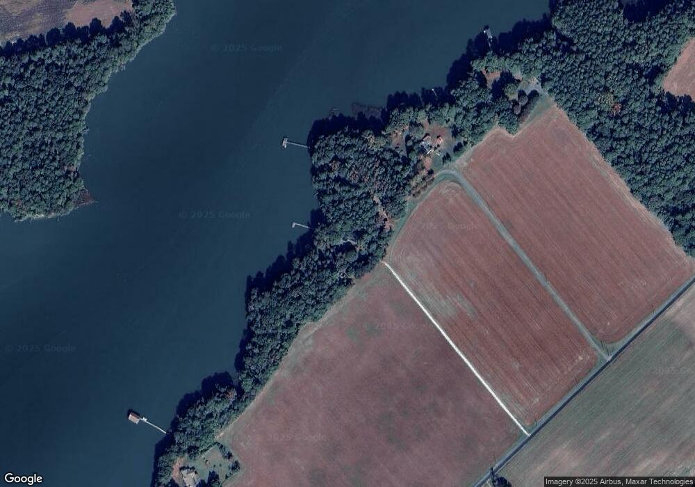
Map
Nearby Homes
- 0 James Wharf Rd Unit 37 64958
- 3284 Frederick Douglas Rd
- 3271 Thurgood Marshall Rd
- 0 Lankford Hwy Unit 56414
- 6545 Occohannock Neck Rd
- 6081 Creek Ct
- Lot B Holly Bluff Dr Unit B
- 6009 Occohannock Neck Rd
- Lot B6 Saltworks Rd Unit B6
- Lot 18 Saltworks Rd Unit 18
- 1 Saltworks Rd Unit 1
- 9046 Occohannock Neck Rd
- Lot 9 Wellington Neck Rd Unit 9
- Lot 8 Wellington Neck Rd Unit 8
- TBD Eden Meadows Dr
- Lot 12 Pine Meadows Way Unit 12
- Lot 4 Pine Meadows Way Unit 4
- Lt 11/12 Old Neck Rd Unit 11&12
- 9340 Occohannock Neck Rd
- Lot E2 Battle Point Rd Unit E2
- 7529 Stewart's Wharf Rd
- 8005 Stewarts Wharf Rd
- 8005 Stewart's Wharf Rd
- 8045 Stewarts Wharf Rd
- 8103 Stewarts Wharf Rd
- 7455 Stewarts Wharf Rd
- 7373 Stewart's Wharf Rd Unit 12
- 7562 Stewarts Wharf Rd
- 7562 Stewarts Wharf Rd
- 7486 Stewarts Wharf Rd
- 8239 Stewarts Wharf Rd
- 7279 Stewarts Wharf Rd
- 7414 Stewarts Wharf Rd
- 7288 Stewarts Wharf Rd
- 7187 Kelly Cove Rd
- 7125 Kelly Cove Rd
- 7186 Kelly Cove Rd
- 7342 Stewarts Wharf Rd
- 7342 Stewarts Wharf Rd
- 7121 Kelly Cove Rd