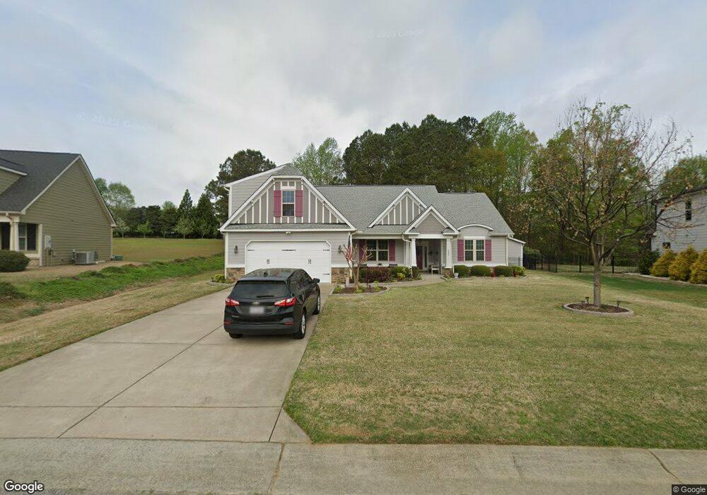
753 Adams Point Dr Unit Carlo Garner, NC 27529
Cleveland NeighborhoodEstimated Value: $476,632 - $512,000
3
Beds
3
Baths
2,578
Sq Ft
$192/Sq Ft
Est. Value
About This Home
This home is located at 753 Adams Point Dr Unit Carlo, Garner, NC 27529 and is currently estimated at $495,908, approximately $192 per square foot. 753 Adams Point Dr Unit Carlo is a home located in Johnston County with nearby schools including West View Elementary School, Cleveland Middle School, and West Johnston High School.
Ownership History
Date
Name
Owned For
Owner Type
Purchase Details
Closed on
Aug 20, 2025
Sold by
Barakat Kevin Kareem and Barakat Madelaine Anne
Bought by
Barakat Living Trust and Barakat
Current Estimated Value
Purchase Details
Closed on
Sep 10, 2021
Sold by
Greene Robert H and Greene Kaye C
Bought by
Barakat Kevin and Barakat Madelaine
Home Financials for this Owner
Home Financials are based on the most recent Mortgage that was taken out on this home.
Original Mortgage
$175,000
Interest Rate
2.1%
Mortgage Type
New Conventional
Purchase Details
Closed on
Oct 31, 2012
Sold by
Golden Properties & Development Inc
Bought by
Greene Robert H and Greene Kaye Campbell
Home Financials for this Owner
Home Financials are based on the most recent Mortgage that was taken out on this home.
Original Mortgage
$60,000
Interest Rate
3.4%
Mortgage Type
New Conventional
Create a Home Valuation Report for This Property
The Home Valuation Report is an in-depth analysis detailing your home's value as well as a comparison with similar homes in the area
Home Values in the Area
Average Home Value in this Area
Purchase History
| Date | Buyer | Sale Price | Title Company |
|---|---|---|---|
| Barakat Living Trust | -- | None Listed On Document | |
| Barakat Living Trust | -- | None Listed On Document | |
| Barakat Kevin | $435,000 | None Available | |
| Greene Robert H | $227,500 | None Available |
Source: Public Records
Mortgage History
| Date | Status | Borrower | Loan Amount |
|---|---|---|---|
| Previous Owner | Barakat Kevin | $175,000 | |
| Previous Owner | Greene Robert H | $60,000 |
Source: Public Records
Tax History Compared to Growth
Tax History
| Year | Tax Paid | Tax Assessment Tax Assessment Total Assessment is a certain percentage of the fair market value that is determined by local assessors to be the total taxable value of land and additions on the property. | Land | Improvement |
|---|---|---|---|---|
| 2025 | $2,946 | $463,980 | $70,000 | $393,980 |
| 2024 | $2,480 | $306,160 | $50,000 | $256,160 |
| 2023 | $2,396 | $306,160 | $50,000 | $256,160 |
| 2022 | $2,518 | $306,160 | $50,000 | $256,160 |
| 2021 | $2,343 | $284,840 | $50,000 | $234,840 |
| 2020 | $2,371 | $284,840 | $50,000 | $234,840 |
| 2019 | $2,371 | $284,840 | $50,000 | $234,840 |
| 2018 | $2,171 | $254,630 | $44,000 | $210,630 |
| 2017 | $2,171 | $254,630 | $44,000 | $210,630 |
| 2016 | $2,171 | $254,630 | $44,000 | $210,630 |
| 2015 | $2,245 | $254,630 | $44,000 | $210,630 |
| 2014 | $2,245 | $254,630 | $44,000 | $210,630 |
Source: Public Records
Map
Nearby Homes
- 36 Labradoodle Ct
- 39 Beau Dr
- 394 Airedale Trail
- 1092 Adams Point Dr
- 115 Unique Place
- 413 Fieldtrial Cir
- 58 Larkwood Ln
- 146 Shadowbark Dr
- 1152 Black Angus Dr
- 75 Fawn Hill Ct
- 181 Fawn Hill Ct
- 113 Hogan Dr
- 150 Sherrill Place Ln
- 165 Rynal Dr
- 1037 Olive Dr
- Roanoke Plan at Brant Station
- Fontana Plan at Brant Station
- Avenel II Plan at Brant Station
- 149 Presley Blvd
- 111 Artic Cir
- 753 Adams Point Dr
- 737 Adams Point Dr
- 783 Adams Point Dr
- 72 Pappy Ln
- 56 Pappy Ln
- 723 Adams Point Dr Unit Sierr
- 723 Adams Point Dr
- 742 Adams Point Dr
- 42 Pappy Ln
- 780 Adams Point Dr
- 94 Pappy Ln
- 701 Adams Point Dr
- 724 Adams Point Dr
- 813 Adams Point Dr
- 702 Adams Point Dr
- 702 Adams Point Dr Unit CARLO
- 20 Pappy Ln Unit Belle
- 65 Pappy Ln
- 681 Adams Point Dr Unit JADE2
- 845 Adams Point Dr