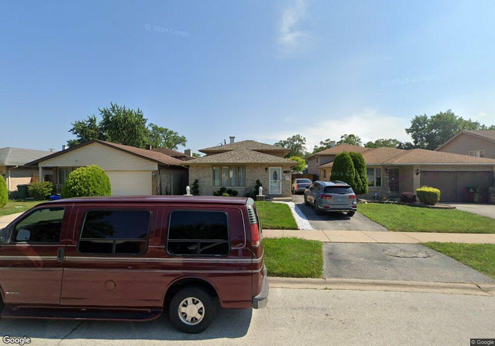
753 Mcarthur Ct Dolton, IL 60419
Estimated Value: $189,000 - $220,000
3
Beds
2
Baths
1,420
Sq Ft
$144/Sq Ft
Est. Value
About This Home
This home is located at 753 Mcarthur Ct, Dolton, IL 60419 and is currently estimated at $204,137, approximately $143 per square foot. 753 Mcarthur Ct is a home located in Cook County with nearby schools including Lincoln Elementary School, Lincoln Junior High School, and Thornridge High School.
Ownership History
Date
Name
Owned For
Owner Type
Purchase Details
Closed on
Feb 23, 2009
Sold by
Moore Dianne M
Bought by
Moore Dianne M and Moore Shawn C
Current Estimated Value
Purchase Details
Closed on
Jul 16, 2008
Sold by
Deutsche Bank National Trust Co
Bought by
Moore Dianne M
Home Financials for this Owner
Home Financials are based on the most recent Mortgage that was taken out on this home.
Original Mortgage
$124,260
Interest Rate
6.55%
Mortgage Type
FHA
Purchase Details
Closed on
Feb 27, 2008
Sold by
Giles
Bought by
Deutsche Bank National Trust Co and Ameriquest Mortgage Securities Inc Quest
Create a Home Valuation Report for This Property
The Home Valuation Report is an in-depth analysis detailing your home's value as well as a comparison with similar homes in the area
Home Values in the Area
Average Home Value in this Area
Purchase History
| Date | Buyer | Sale Price | Title Company |
|---|---|---|---|
| Moore Dianne M | -- | None Available | |
| Moore Dianne M | $126,000 | First American Title | |
| Deutsche Bank National Trust Co | -- | None Available |
Source: Public Records
Mortgage History
| Date | Status | Borrower | Loan Amount |
|---|---|---|---|
| Previous Owner | Moore Dianne M | $124,260 |
Source: Public Records
Tax History Compared to Growth
Tax History
| Year | Tax Paid | Tax Assessment Tax Assessment Total Assessment is a certain percentage of the fair market value that is determined by local assessors to be the total taxable value of land and additions on the property. | Land | Improvement |
|---|---|---|---|---|
| 2024 | $2,601 | $18,000 | $2,261 | $15,739 |
| 2023 | $3,460 | $18,000 | $2,261 | $15,739 |
| 2022 | $3,460 | $13,411 | $1,995 | $11,416 |
| 2021 | $3,329 | $13,411 | $1,995 | $11,416 |
| 2020 | $2,931 | $13,411 | $1,995 | $11,416 |
| 2019 | $3,585 | $12,360 | $1,862 | $10,498 |
| 2018 | $3,484 | $12,360 | $1,862 | $10,498 |
| 2017 | $3,222 | $12,360 | $1,862 | $10,498 |
| 2016 | $4,689 | $11,215 | $1,729 | $9,486 |
| 2015 | $4,775 | $11,215 | $1,729 | $9,486 |
| 2014 | $5,674 | $12,449 | $1,729 | $10,720 |
| 2013 | $5,792 | $13,440 | $1,729 | $11,711 |
Source: Public Records
Map
Nearby Homes
- 14263 Lincoln Ave
- 14408 Lincoln Ave
- 14326 Irving Ave
- 14421 Murray Ave
- 14411 Irving Ave
- 664 E 142nd St
- 14333 Drexel Ave
- 14418 Drexel Ave
- 14514 Cottage Grove Ave
- 631 E 142nd St
- 14502 Irving Ave
- 14221 Ingleside Ave
- 14325 Ingleside Ave
- 933 E 142nd St
- 14131 Lincoln Ave
- 14526 Cottage Grove Ave
- 14119 Lincoln Ave
- 1011 E 142nd St
- 14320 Dobson Ave
- 14635 Greenwood Rd Unit B103
- 757 Mcarthur Ct
- 749 Mcarthur Ct
- 745 Mcarthur Ct
- 14249 Shepard Dr
- 763 Mcarthur Ct
- 14238 Evans Ave
- 769 Mcarthur Ct
- 752 Mcarthur Ct
- 750 Mcarthur Ct
- 758 Mcarthur Ct
- 14240 Evans Ave
- 746 Mcarthur Ct
- 760 Mcarthur Ct
- 14244 Shepard Dr
- 764 Mcarthur Ct
- 14246 Shepard Dr
- 14242 Shepard Dr
- 742 Mcarthur Ct
- 14248 Shepard Dr
- 14238 Shepard Dr