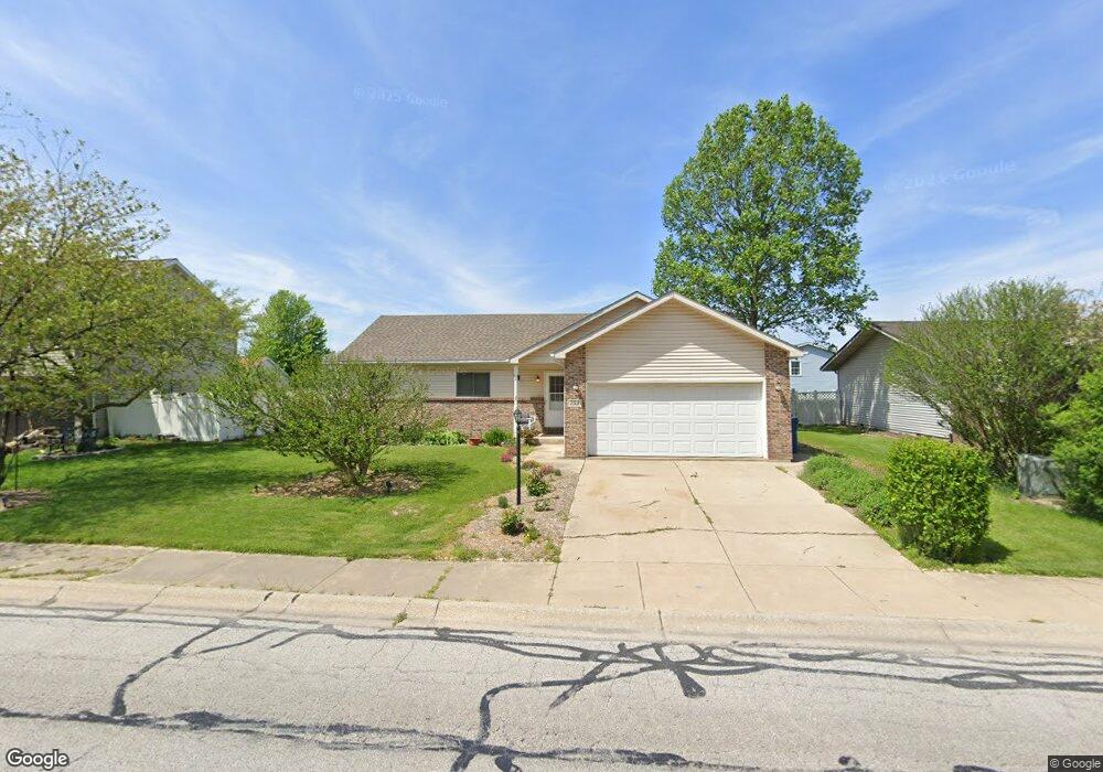
753 Pearson Rd Chesterton, IN 46304
Estimated Value: $282,864 - $322,000
3
Beds
2
Baths
1,260
Sq Ft
$240/Sq Ft
Est. Value
About This Home
This home is located at 753 Pearson Rd, Chesterton, IN 46304 and is currently estimated at $302,966, approximately $240 per square foot. 753 Pearson Rd is a home located in Porter County with nearby schools including Newton Yost Elementary School, Westchester Intermediate School, and Chesterton Middle School.
Ownership History
Date
Name
Owned For
Owner Type
Purchase Details
Closed on
Nov 12, 2009
Sold by
Booras Robert F and Booras Heather M
Bought by
Rose Jennifer L
Current Estimated Value
Home Financials for this Owner
Home Financials are based on the most recent Mortgage that was taken out on this home.
Original Mortgage
$141,391
Outstanding Balance
$90,244
Interest Rate
4.96%
Mortgage Type
FHA
Estimated Equity
$212,722
Purchase Details
Closed on
Aug 13, 2007
Sold by
Farmer Janice R
Bought by
Booras Robert F and Booras Heather M
Home Financials for this Owner
Home Financials are based on the most recent Mortgage that was taken out on this home.
Original Mortgage
$123,300
Interest Rate
6.77%
Mortgage Type
Purchase Money Mortgage
Create a Home Valuation Report for This Property
The Home Valuation Report is an in-depth analysis detailing your home's value as well as a comparison with similar homes in the area
Home Values in the Area
Average Home Value in this Area
Purchase History
| Date | Buyer | Sale Price | Title Company |
|---|---|---|---|
| Rose Jennifer L | -- | Chicago Title Insurance Co | |
| Booras Robert F | -- | Ticor Title Insurance |
Source: Public Records
Mortgage History
| Date | Status | Borrower | Loan Amount |
|---|---|---|---|
| Open | Rose Jennifer L | $141,391 | |
| Previous Owner | Booras Robert F | $123,300 |
Source: Public Records
Tax History
| Year | Tax Paid | Tax Assessment Tax Assessment Total Assessment is a certain percentage of the fair market value that is determined by local assessors to be the total taxable value of land and additions on the property. | Land | Improvement |
|---|---|---|---|---|
| 2025 | $2,778 | $246,600 | $48,800 | $197,800 |
| 2024 | $2,602 | $249,000 | $48,800 | $200,200 |
| 2023 | $2,582 | $233,900 | $45,000 | $188,900 |
| 2022 | $2,348 | $211,600 | $45,000 | $166,600 |
| 2021 | $2,029 | $182,000 | $45,000 | $137,000 |
| 2020 | $1,923 | $172,700 | $41,300 | $131,400 |
| 2019 | $1,860 | $167,200 | $41,300 | $125,900 |
| 2018 | $1,747 | $157,300 | $41,300 | $116,000 |
| 2017 | $1,726 | $156,700 | $41,300 | $115,400 |
| 2016 | $1,719 | $156,800 | $44,700 | $112,100 |
| 2014 | $1,586 | $144,300 | $40,400 | $103,900 |
| 2013 | -- | $140,200 | $41,300 | $98,900 |
Source: Public Records
Map
Nearby Homes
- 696 Admiral Dr
- 1346 Essex Dr
- 1198 Old Porter Rd
- 1290 Old Porter Rd
- 1642 Commodore Ln
- 829 Johnson St Unit B
- 2160 W Westchester Ave
- 2130 Westchester Ave Unit 32
- 2009 W Porter Ave
- 2114 Tupelo Ln
- 1198 N Babcock Rd
- 2121 Tupelo Ln
- 2105 Dogwood Ln
- 507 S 20th St
- 3431 Drivers Way
- 2016 Laura Ln
- 1807 W Porter Ave
- 2023 Hawthorne Ln
- 210 Rainbow Dr
- 1440 Duffer Dr
- 737 Pearson Rd
- 787 Pearson Rd
- 787 N 125 W
- 732 Admiral Dr
- 752 Admiral Dr
- 722 Admiral Dr
- 793 Pearson Rd
- 703 Pearson Rd
- 772 Admiral Dr
- 702 Admiral Dr
- 751 Pearson Rd
- 845 Pearson Rd
- 701 Pearson Rd
- 693 Pearson Rd
- 1283 Port Cove Dr
- 1275 Admiral Dr
- 731 Admiral Dr
- 823 Pearson Rd
- 651 Pearson Rd
- 791 Pearson Rd
Your Personal Tour Guide
Ask me questions while you tour the home.