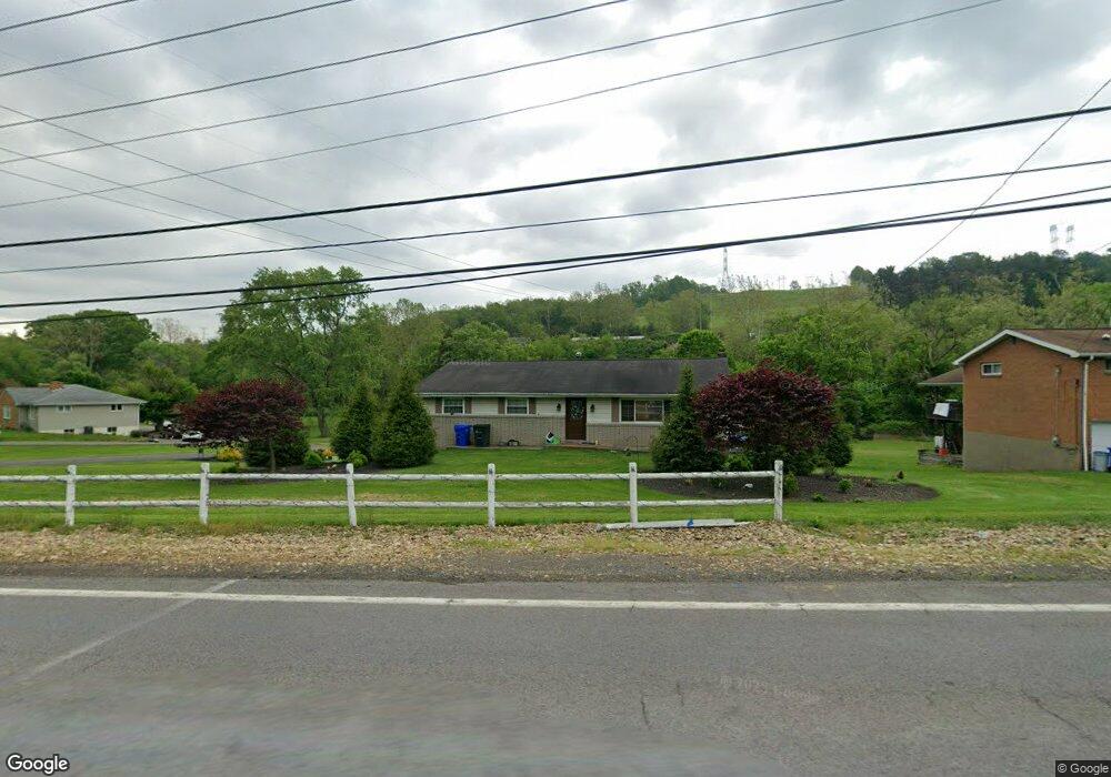
7533 Noblestown Rd Mc Donald, PA 15057
Estimated Value: $321,000 - $354,273
3
Beds
2
Baths
1,550
Sq Ft
$218/Sq Ft
Est. Value
About This Home
This home is located at 7533 Noblestown Rd, Mc Donald, PA 15057 and is currently estimated at $338,068, approximately $218 per square foot. 7533 Noblestown Rd is a home located in Allegheny County with nearby schools including West Allegheny Senior High School.
Ownership History
Date
Name
Owned For
Owner Type
Purchase Details
Closed on
Sep 30, 2014
Sold by
Maas Albert R
Bought by
Cress Blair C
Current Estimated Value
Home Financials for this Owner
Home Financials are based on the most recent Mortgage that was taken out on this home.
Original Mortgage
$190,800
Outstanding Balance
$146,330
Interest Rate
4.11%
Estimated Equity
$191,738
Purchase Details
Closed on
Jun 16, 2006
Sold by
Chauvet Louis
Bought by
Maas Albert R
Home Financials for this Owner
Home Financials are based on the most recent Mortgage that was taken out on this home.
Original Mortgage
$183,549
Interest Rate
6.62%
Mortgage Type
FHA
Create a Home Valuation Report for This Property
The Home Valuation Report is an in-depth analysis detailing your home's value as well as a comparison with similar homes in the area
Home Values in the Area
Average Home Value in this Area
Purchase History
| Date | Buyer | Sale Price | Title Company |
|---|---|---|---|
| Cress Blair C | $212,000 | -- | |
| Maas Albert R | $185,000 | -- |
Source: Public Records
Mortgage History
| Date | Status | Borrower | Loan Amount |
|---|---|---|---|
| Open | Cress Blair C | $190,800 | |
| Previous Owner | Maas Albert R | $183,549 |
Source: Public Records
Tax History Compared to Growth
Tax History
| Year | Tax Paid | Tax Assessment Tax Assessment Total Assessment is a certain percentage of the fair market value that is determined by local assessors to be the total taxable value of land and additions on the property. | Land | Improvement |
|---|---|---|---|---|
| 2025 | $4,438 | $167,300 | $37,100 | $130,200 |
| 2024 | $4,438 | $167,300 | $37,100 | $130,200 |
| 2023 | $4,438 | $167,300 | $37,100 | $130,200 |
| 2022 | $4,438 | $167,300 | $37,100 | $130,200 |
| 2021 | $791 | $167,300 | $37,100 | $130,200 |
| 2020 | $4,438 | $167,300 | $37,100 | $130,200 |
| 2019 | $4,438 | $167,300 | $37,100 | $130,200 |
| 2018 | $791 | $167,300 | $37,100 | $130,200 |
| 2017 | $4,438 | $167,300 | $37,100 | $130,200 |
| 2016 | $791 | $167,300 | $37,100 | $130,200 |
| 2015 | $791 | $160,500 | $37,100 | $123,400 |
| 2014 | $4,258 | $160,500 | $37,100 | $123,400 |
Source: Public Records
Map
Nearby Homes
- 146 Mcvey St
- 845 Wall St
- 103 Hollyberry Cir
- 1015 Granite Dr
- 100 Hill Place Dr
- 319 Dupont Dr
- 809 Station St
- Lot 3166 Robinson Run Rd
- Lot 4 McVey Street Extension
- Lot 3 McVey Street Extension
- 1103 Hoffman Dr
- 0 McVey St Extension Unit 1692515
- 7712 Noblestown Rd
- 205 Spring St
- 1006 Stonegate Dr
- 4401 Battle Ridge Rd
- Carlisle Plan at Stonegate
- Tucson Plan at Stonegate
- Hoover Plan at Stonegate
- Waterloo Plan at Stonegate
- 7535 Noblestown Rd
- 7534 Noblestown Rd
- 7536 Noblestown Rd
- 7531 Noblestown Rd
- 7538 Noblestown Rd
- 101 Pointe West Dr
- 7540 Noblestown Rd
- 7529 Noblestown Rd
- 103 Pointe West Dr
- 103 Pointe Dr W
- 7527 Noblestown Rd
- 7542 Noblestown Rd
- 7542 Noblestown Rd
- 400 Emily Ln
- 100 Pointe West Dr
- 404 Emily Ln
- 408 Emily Ln
- 7525 Noblestown Rd
- 105 Pointe West Dr
- 102 Pointe West Dr