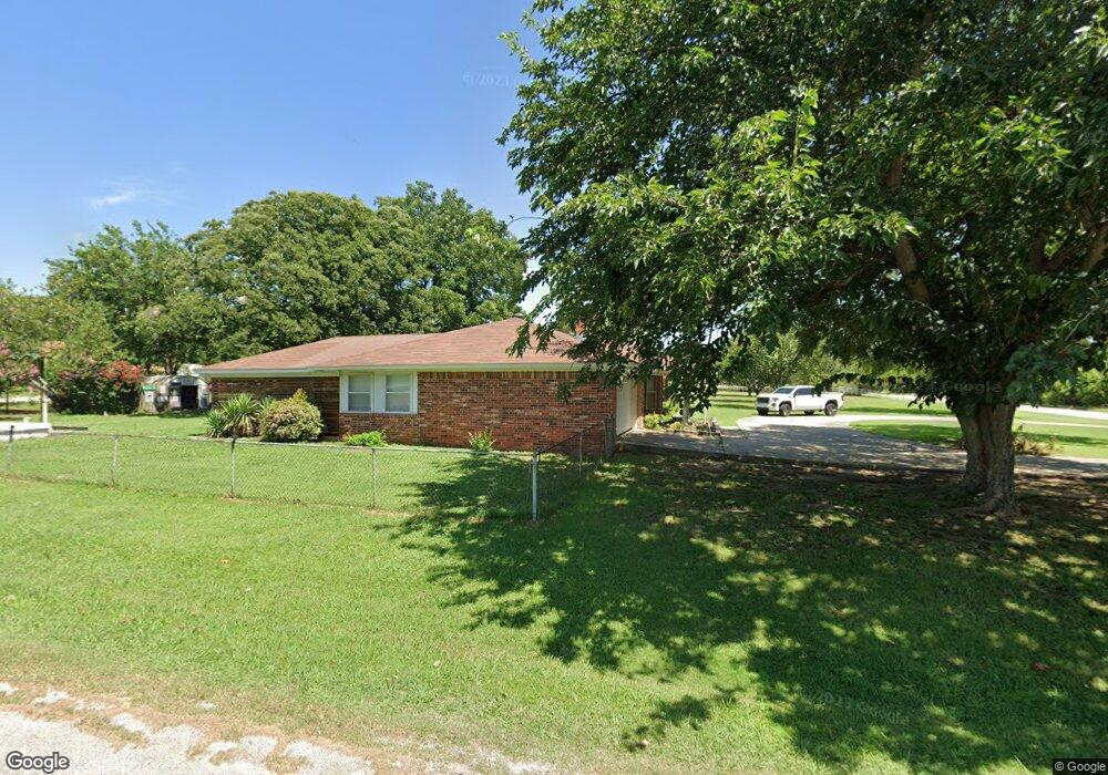
7535 Brock Rd Ardmore, OK 73401
Estimated Value: $215,000 - $263,000
3
Beds
2
Baths
1,710
Sq Ft
$138/Sq Ft
Est. Value
About This Home
This home is located at 7535 Brock Rd, Ardmore, OK 73401 and is currently estimated at $236,583, approximately $138 per square foot. 7535 Brock Rd is a home located in Carter County with nearby schools including Lone Grove Primary School, Lone Grove Intermediate School, and Lone Grove Middle School.
Ownership History
Date
Name
Owned For
Owner Type
Purchase Details
Closed on
Oct 29, 2015
Sold by
Besherse Vida Sue Baber
Bought by
Meredith Anthony P and Meredith Allison H
Current Estimated Value
Home Financials for this Owner
Home Financials are based on the most recent Mortgage that was taken out on this home.
Original Mortgage
$154,241
Outstanding Balance
$120,937
Interest Rate
3.94%
Mortgage Type
New Conventional
Estimated Equity
$115,646
Purchase Details
Closed on
Nov 9, 1999
Sold by
Mclain Evert J
Bought by
Besherse Besherse W and Besherse Vi
Create a Home Valuation Report for This Property
The Home Valuation Report is an in-depth analysis detailing your home's value as well as a comparison with similar homes in the area
Home Values in the Area
Average Home Value in this Area
Purchase History
| Date | Buyer | Sale Price | Title Company |
|---|---|---|---|
| Meredith Anthony P | $150,000 | None Available | |
| Besherse Besherse W | $117,500 | -- |
Source: Public Records
Mortgage History
| Date | Status | Borrower | Loan Amount |
|---|---|---|---|
| Open | Meredith Anthony P | $154,241 |
Source: Public Records
Tax History Compared to Growth
Tax History
| Year | Tax Paid | Tax Assessment Tax Assessment Total Assessment is a certain percentage of the fair market value that is determined by local assessors to be the total taxable value of land and additions on the property. | Land | Improvement |
|---|---|---|---|---|
| 2025 | $2,225 | $21,289 | $3,600 | $17,689 |
| 2024 | $2,225 | $20,275 | $3,600 | $16,675 |
| 2023 | $2,121 | $19,309 | $3,600 | $15,709 |
| 2022 | $1,903 | $18,390 | $3,600 | $14,790 |
| 2021 | $1,812 | $17,402 | $3,600 | $13,802 |
| 2020 | $1,766 | $17,060 | $3,600 | $13,460 |
| 2019 | $1,680 | $16,247 | $3,600 | $12,647 |
| 2018 | $1,699 | $16,271 | $3,600 | $12,671 |
| 2017 | $1,802 | $17,336 | $2,160 | $15,176 |
| 2016 | $1,866 | $18,000 | $2,700 | $15,300 |
| 2015 | $1,325 | $12,521 | $450 | $12,071 |
| 2014 | $1,234 | $12,156 | $450 | $11,706 |
Source: Public Records
Map
Nearby Homes
- 40 Whipperwill St
- 270 Hickory St
- 0 Durango St
- 0 High Chaparal Dr Unit 2525272
- 7023 Myall Rd SW
- 7241 Myall Rd
- 0 Kelly Ln
- 940 Durango St
- 00 Bob White Rd
- 58 Wisteria St
- 86 Wisteria St
- 8841 Brock Rd
- 319 Cross Creek Cir
- 114 Laurel St
- 145 Cross Creek Cir
- 0 Foxden Rd Unit 2511367
- 213 Laurel St
- 298 Evergreen St
- 656 Evergreen St
- 01 N Brock Rd
- 7505 Brock Rd
- 66 Hickory St
- 7591 Brock Rd
- 90 Hickory St
- 93 Hickory St
- 63 Rosewood St
- 33 Ruidosa St
- 118 Hickory St
- 63 Ruidosa St
- 94 Whipperwill St
- 119 Hickory St Unit 119 Hickory St, Ardm
- 95 Ruidosa St
- 0 Hickory Dr Unit 24220
- 7435 Brock Rd
- 63 Whipperwill St
- 110 Whipperwill St
- 187 Hickory St
- 119 Ruidosa St
- 87 Whipperwill St