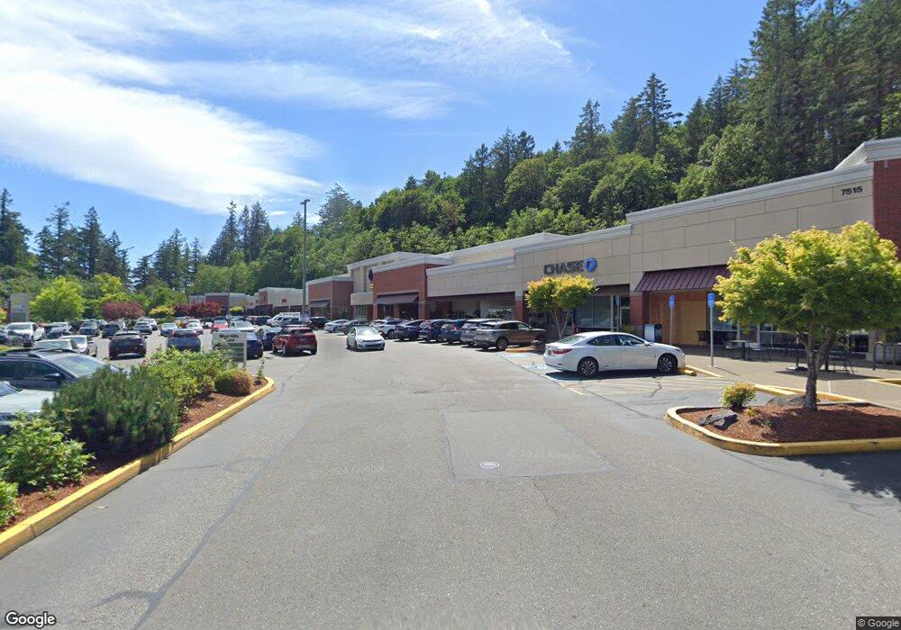
7535 SW Barnes Rd Unit 112 Portland, OR 97225
--
Bed
--
Bath
1,100
Sq Ft
6.43
Acres
About This Home
This home is located at 7535 SW Barnes Rd Unit 112, Portland, OR 97225. 7535 SW Barnes Rd Unit 112 is a home located in Washington County with nearby schools including West Tualatin View Elementary School, Cedar Park Middle School, and Beaverton High School.
Ownership History
Date
Name
Owned For
Owner Type
Purchase Details
Closed on
Jul 8, 2003
Sold by
Regency Centers Corp
Bought by
Grandchildren Llc
Purchase Details
Closed on
Dec 18, 1998
Sold by
Washington Restaurant Properties Ltd Par
Bought by
Pacific Retail Trust
Home Financials for this Owner
Home Financials are based on the most recent Mortgage that was taken out on this home.
Original Mortgage
$5,225
Interest Rate
6.86%
Mortgage Type
Commercial
Create a Home Valuation Report for This Property
The Home Valuation Report is an in-depth analysis detailing your home's value as well as a comparison with similar homes in the area
Home Values in the Area
Average Home Value in this Area
Purchase History
| Date | Buyer | Sale Price | Title Company |
|---|---|---|---|
| Grandchildren Llc | $8,496,000 | Chicago Title Insurance Comp | |
| Pacific Retail Trust | $8,100,000 | Chicago Title Insurance Co |
Source: Public Records
Mortgage History
| Date | Status | Borrower | Loan Amount |
|---|---|---|---|
| Previous Owner | Pacific Retail Trust | $5,225 |
Source: Public Records
Tax History Compared to Growth
Tax History
| Year | Tax Paid | Tax Assessment Tax Assessment Total Assessment is a certain percentage of the fair market value that is determined by local assessors to be the total taxable value of land and additions on the property. | Land | Improvement |
|---|---|---|---|---|
| 2025 | $170,663 | $9,424,080 | -- | -- |
| 2024 | $160,257 | $9,149,600 | -- | -- |
| 2023 | $160,257 | $8,883,110 | $0 | $0 |
| 2022 | $155,061 | $8,883,110 | $0 | $0 |
| 2021 | $149,474 | $8,373,190 | $0 | $0 |
| 2020 | $144,970 | $8,129,320 | $0 | $0 |
| 2019 | $140,234 | $7,892,550 | $0 | $0 |
| 2018 | $135,645 | $7,662,670 | $0 | $0 |
| 2017 | $130,767 | $7,439,490 | $0 | $0 |
| 2016 | $126,098 | $7,222,810 | $0 | $0 |
| 2015 | $121,229 | $7,012,440 | $0 | $0 |
| 2014 | $118,801 | $6,808,200 | $0 | $0 |
Source: Public Records
Map
Nearby Homes
- 8588 SW Summit Ct
- 955 SW Summit View Dr
- 645 SW Viewmont Dr
- 0 SW Ascot Ct
- 6865 SW Windemere Loop
- 290 SW Moonridge Place
- 655 SW 83rd Ave
- 6827 SW Windemere Loop
- 979 SW Shaker Place
- 7550 SW Barnes Rd Unit E
- 120 SW Moonridge Place
- 7538 SW Barnes Rd Unit D
- 7538 SW Barnes Rd Unit H
- 7548 SW Barnes Rd Unit G
- 775 SW 84th Ct
- 6685 W Burnside St Unit 324
- 6685 W Burnside St Unit 350
- 6685 W Burnside St Unit 343
- 6685 W Burnside Rd Unit 310
- 7514 SW Barnes Rd Unit A
- 7535 SW Barnes Rd Unit 1
- 7533 SW Barnes Rd Unit 106-C
- 5916 SW 67th Place
- 8571 SW Summit Ct
- 8599 SW Summit Ct
- 8617 SW Summit Ct
- 8672 SW Summit Ct
- 8635 SW Summit Ct
- 8624 SW Summit Ct
- 8646 SW Summit Ct
- 7365 SW Barnes Rd Unit F
- 789 SW Summit View Dr
- 767 SW Summit View Dr
- 811 SW Summit View Dr
- 822 SW Vintner Dr
- 833 SW Summit View Dr
- 707 SW Regency Place
- 689 SW Regency Place
- 733 SW Regency Place
- 7804 SW Mayway Dr