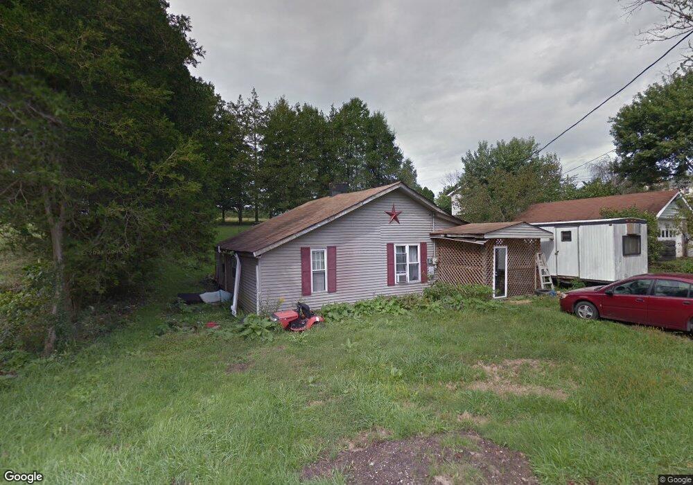
75365 Maynard Hollow Rd Harrisville, OH 43974
Estimated Value: $19,000 - $69,000
--
Bed
--
Bath
1,216
Sq Ft
$42/Sq Ft
Est. Value
About This Home
This home is located at 75365 Maynard Hollow Rd, Harrisville, OH 43974 and is currently estimated at $51,349, approximately $42 per square foot. 75365 Maynard Hollow Rd is a home with nearby schools including Buckeye Local High School.
Ownership History
Date
Name
Owned For
Owner Type
Purchase Details
Closed on
Apr 23, 2008
Sold by
Devault William J and Devault Mary Jo
Bought by
Duill Rebecca L
Current Estimated Value
Home Financials for this Owner
Home Financials are based on the most recent Mortgage that was taken out on this home.
Original Mortgage
$32,500
Outstanding Balance
$20,801
Interest Rate
6.17%
Mortgage Type
New Conventional
Estimated Equity
$30,548
Purchase Details
Closed on
Sep 12, 2000
Purchase Details
Closed on
Aug 3, 1999
Purchase Details
Closed on
Dec 12, 1995
Purchase Details
Closed on
Sep 18, 1995
Create a Home Valuation Report for This Property
The Home Valuation Report is an in-depth analysis detailing your home's value as well as a comparison with similar homes in the area
Home Values in the Area
Average Home Value in this Area
Purchase History
| Date | Buyer | Sale Price | Title Company |
|---|---|---|---|
| Duill Rebecca L | $2,500 | None Available | |
| -- | $6,000 | -- | |
| -- | -- | -- | |
| -- | $3,000 | -- | |
| -- | -- | -- |
Source: Public Records
Mortgage History
| Date | Status | Borrower | Loan Amount |
|---|---|---|---|
| Open | Duill Rebecca L | $32,500 |
Source: Public Records
Tax History Compared to Growth
Tax History
| Year | Tax Paid | Tax Assessment Tax Assessment Total Assessment is a certain percentage of the fair market value that is determined by local assessors to be the total taxable value of land and additions on the property. | Land | Improvement |
|---|---|---|---|---|
| 2024 | $554 | $14,270 | $3,530 | $10,740 |
| 2023 | $554 | $14,270 | $3,530 | $10,740 |
| 2022 | $487 | $12,630 | $2,580 | $10,050 |
| 2021 | $483 | $12,630 | $2,580 | $10,050 |
| 2020 | $483 | $12,630 | $2,580 | $10,050 |
| 2019 | $441 | $11,270 | $2,300 | $8,970 |
| 2018 | $446 | $11,270 | $2,300 | $8,970 |
| 2017 | $426 | $11,270 | $2,300 | $8,970 |
| 2016 | $418 | $10,630 | $1,820 | $8,810 |
| 2015 | $417 | $10,630 | $1,820 | $8,810 |
| 2014 | $386 | $10,200 | $1,660 | $8,540 |
| 2013 | $386 | $10,200 | $1,660 | $8,540 |
Source: Public Records
Map
Nearby Homes
- 49495 N Back St
- 303 County Road 71
- 1749 Us 250
- 1281 Township Road 129
- 572 W Main St
- 113 Roby St
- 101 Lyons St
- 73473 Dunn Rd
- 332 Township Road 153
- 425 Blairmont Rd
- 103 Horeshoe Alley
- 75601 16th Rd
- 49770 Fairpoint Maynard Rd
- 49991 Purseglove Rd
- 0 Terra Ridge Ln
- 49659 Water St
- 543 Union St
- 148 Oak Dr
- 48837 Hillcrest Dr
- 0 North St Unit 5148451
- 75215 Maynard Hollow Rd
- 49443 S Back St
- 0 Back St Unit 3932941
- 49345 Main St
- 49349 Sr 250
- 49400 E Main St
- 49357 U S Route 250
- 49343 Main St
- 75330 Maynard Hollow Rd
- 49397 E Main St
- 49359 U S Route 250
- 49341 E Main St
- 49467 N Back St
- 49417 S Back St
- 49378 Main St
- 49370 U S Route 250
- 49361 U S Route 250
- 49358 U S Route 250
- 49463 Main St
- 49363 U S Route 250