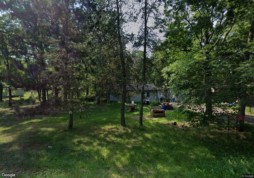
7537 Airport Rd Webster, WI 54893
Estimated Value: $161,000 - $177,000
3
Beds
1
Bath
892
Sq Ft
$190/Sq Ft
Est. Value
About This Home
This home is located at 7537 Airport Rd, Webster, WI 54893 and is currently estimated at $169,263, approximately $189 per square foot. 7537 Airport Rd is a home located in Burnett County with nearby schools including Siren Elementary School and Siren High School.
Ownership History
Date
Name
Owned For
Owner Type
Purchase Details
Closed on
Aug 8, 2013
Sold by
Pardun Brent D and Pardun Ann E
Bought by
Sanford Jason R and Sanford Melanie L
Current Estimated Value
Purchase Details
Closed on
Aug 15, 2008
Sold by
Pardun Brent D
Bought by
Pardun Brent D and Pardun Ann E
Home Financials for this Owner
Home Financials are based on the most recent Mortgage that was taken out on this home.
Original Mortgage
$71,000
Interest Rate
6.39%
Mortgage Type
New Conventional
Create a Home Valuation Report for This Property
The Home Valuation Report is an in-depth analysis detailing your home's value as well as a comparison with similar homes in the area
Home Values in the Area
Average Home Value in this Area
Purchase History
| Date | Buyer | Sale Price | Title Company |
|---|---|---|---|
| Sanford Jason R | -- | None Available | |
| Pardun Brent D | $95,000 | None Available |
Source: Public Records
Mortgage History
| Date | Status | Borrower | Loan Amount |
|---|---|---|---|
| Previous Owner | Pardun Brent D | $71,000 |
Source: Public Records
Tax History Compared to Growth
Tax History
| Year | Tax Paid | Tax Assessment Tax Assessment Total Assessment is a certain percentage of the fair market value that is determined by local assessors to be the total taxable value of land and additions on the property. | Land | Improvement |
|---|---|---|---|---|
| 2024 | $1,222 | $102,700 | $9,600 | $93,100 |
| 2023 | $1,075 | $102,700 | $9,600 | $93,100 |
| 2022 | $1,038 | $61,200 | $5,800 | $55,400 |
| 2021 | $1,116 | $61,200 | $5,800 | $55,400 |
| 2020 | $909 | $61,200 | $5,800 | $55,400 |
| 2019 | $829 | $61,200 | $5,800 | $55,400 |
| 2018 | $840 | $61,200 | $5,800 | $55,400 |
| 2017 | $821 | $61,200 | $5,800 | $55,400 |
| 2016 | $818 | $61,200 | $5,800 | $55,400 |
| 2015 | $746 | $61,200 | $5,800 | $55,400 |
| 2013 | $848 | $61,200 | $5,800 | $55,400 |
Source: Public Records
Map
Nearby Homes
- Lot 4 Surely Dr
- Lot 3 Surely Dr
- Lot 2 Surely Dr
- Lot 1 Surely Dr
- Lot 10 Maple Ln
- 7277 Northshore Dr
- 7041 Mar Lee Rd
- Lot 9 Maple Ln
- 7041 Marlee Rd
- Lot 21 Maple Ln
- LOT 18 Maple Ln
- L0T 17 Red Maple Ln
- LOT 11 Red Maple Ln
- LOT 17 Red Maple Ln
- LOT 12 Red Maple Ln
- Lot 4 Maple Ln
- LOT 14 Red Maple Ln
- Lot 1 Herman Johnson Rd
- XXX 1st Ave
- Lot 7 Herman Johnson Rd
- 7543 Airport Rd
- 7525 Airport Rd
- 7549 Airport Rd
- 7519 Airport Rd
- 7519 Airport Rd
- 7435 Airport Rd
- 7487 Airport Rd
- 7509 Airport Rd
- 7565 Airport Rd
- 7571 Airport Rd
- 6910 Wisconsin 70
- 7419 Airport Rd
- 7425 Hwy K
- 24729 State Road 35 70
- 26604 Lind Rd
- 7646 Luverne Rd
- 24691 State Road 35 70
- 24667 Wisconsin 35
- 24761 Lind Rd
- 24732 State Road 35 70