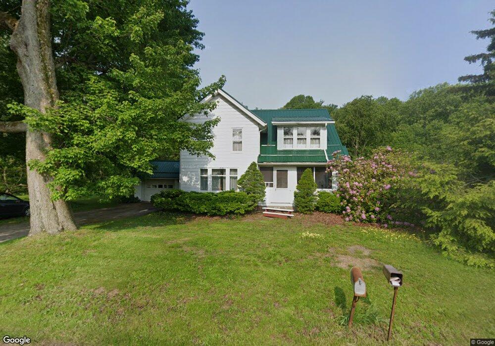
7537 Poore Rd Conneaut, OH 44030
Kingsville NeighborhoodEstimated Value: $47,000 - $110,000
2
Beds
1
Bath
610
Sq Ft
$118/Sq Ft
Est. Value
About This Home
This home is located at 7537 Poore Rd, Conneaut, OH 44030 and is currently estimated at $71,903, approximately $117 per square foot. 7537 Poore Rd is a home located in Ashtabula County with nearby schools including Kingsville Elementary School, Ridgeview Elementary School, and Wallace H. Braden Junior High School.
Ownership History
Date
Name
Owned For
Owner Type
Purchase Details
Closed on
Aug 25, 2020
Sold by
Andover Outdoor Club Condo Assn Inc
Bought by
Behrend William T and Behrend Dolores M
Current Estimated Value
Purchase Details
Closed on
May 24, 2020
Sold by
Behrend William T and Behrend Dolores M
Bought by
The Outdoor Club Company
Purchase Details
Closed on
Jul 20, 2011
Sold by
Zalwski Thaddeus and Zalewsji Thaddeus
Bought by
Zalewski Sharen L
Purchase Details
Closed on
Sep 8, 2006
Sold by
Quirke Theodore C and Quirke Geraldine A
Bought by
Zalewski Thaddeus and Zalewski Sharen L
Create a Home Valuation Report for This Property
The Home Valuation Report is an in-depth analysis detailing your home's value as well as a comparison with similar homes in the area
Home Values in the Area
Average Home Value in this Area
Purchase History
| Date | Buyer | Sale Price | Title Company |
|---|---|---|---|
| Behrend William T | -- | None Available | |
| Andover Outdoor Club Condo Assn Inc | -- | None Available | |
| The Outdoor Club Company | -- | None Available | |
| Zalewski Sharen L | -- | None Available | |
| Zalewski Thaddeus | $25,000 | Enterprise Title |
Source: Public Records
Tax History Compared to Growth
Tax History
| Year | Tax Paid | Tax Assessment Tax Assessment Total Assessment is a certain percentage of the fair market value that is determined by local assessors to be the total taxable value of land and additions on the property. | Land | Improvement |
|---|---|---|---|---|
| 2024 | $1,313 | $22,130 | $1,860 | $20,270 |
| 2023 | $948 | $22,130 | $1,860 | $20,270 |
| 2022 | $711 | $15,890 | $1,400 | $14,490 |
| 2021 | $742 | $15,890 | $1,400 | $14,490 |
| 2020 | $743 | $15,890 | $1,400 | $14,490 |
| 2019 | $482 | $9,840 | $0 | $9,840 |
| 2018 | $467 | $9,840 | $0 | $9,840 |
| 2017 | $231 | $9,840 | $0 | $9,840 |
| 2016 | $456 | $9,630 | $0 | $9,630 |
| 2015 | $458 | $9,630 | $0 | $9,630 |
| 2014 | $434 | $9,630 | $0 | $9,630 |
| 2013 | $3,275 | $12,220 | $0 | $12,220 |
Source: Public Records
Map
Nearby Homes
- 3988 Lake Rd
- 7842 Cleveland Dr
- 4017 Lake Rd Unit 17
- 7527 Tamkrist Trail
- 7630 Darling Ave
- 7032 Reed Rd
- 7002 Reed Rd
- 3339 Lake Rd
- 7328 Harmon Rd
- 7435 Glenwood Rd
- 7544 Glenwood Rd
- 7463 Glenwood Rd
- 4377 E Center St
- 6926 Reed Rd
- 531 W Main Rd
- 3241 S Forest Dr
- 106 Margor Dr
- 2928 Placid Pointe Rd
- 0 Creek Rd Unit 5146859
- 40 Oakland Blvd