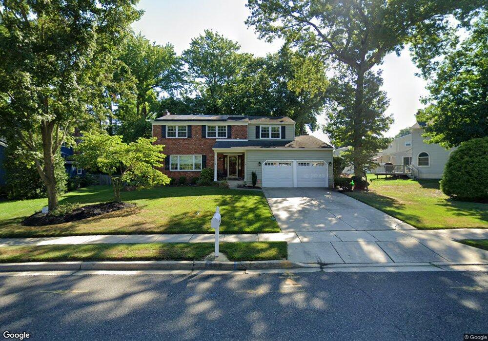
754 Cornwallis Dr Mount Laurel, NJ 08054
Estimated Value: $577,648 - $662,000
Studio
--
Bath
2,462
Sq Ft
$251/Sq Ft
Est. Value
About This Home
This home is located at 754 Cornwallis Dr, Mount Laurel, NJ 08054 and is currently estimated at $618,412, approximately $251 per square foot. 754 Cornwallis Dr is a home located in Burlington County with nearby schools including Hillside Elementary School, T.E. Harrington Middle School, and Mount Laurel Hartford School.
Ownership History
Date
Name
Owned For
Owner Type
Purchase Details
Closed on
Jul 29, 2002
Sold by
Prusak Richard and Prusak Rosemarie
Bought by
Trauger George W M and Trauger Robin L
Current Estimated Value
Home Financials for this Owner
Home Financials are based on the most recent Mortgage that was taken out on this home.
Original Mortgage
$14,350
Interest Rate
6.06%
Mortgage Type
Credit Line Revolving
Create a Home Valuation Report for This Property
The Home Valuation Report is an in-depth analysis detailing your home's value as well as a comparison with similar homes in the area
Home Values in the Area
Average Home Value in this Area
Purchase History
| Date | Buyer | Sale Price | Title Company |
|---|---|---|---|
| Trauger George W M | $287,000 | Infinity Title Agency Inc |
Source: Public Records
Mortgage History
| Date | Status | Borrower | Loan Amount |
|---|---|---|---|
| Closed | Trauger George W M | $14,350 | |
| Open | Trauger George W M | $229,600 |
Source: Public Records
Tax History Compared to Growth
Tax History
| Year | Tax Paid | Tax Assessment Tax Assessment Total Assessment is a certain percentage of the fair market value that is determined by local assessors to be the total taxable value of land and additions on the property. | Land | Improvement |
|---|---|---|---|---|
| 2025 | $9,522 | $301,600 | $93,000 | $208,600 |
| 2024 | $9,163 | $301,600 | $93,000 | $208,600 |
| 2023 | $9,163 | $301,600 | $93,000 | $208,600 |
| 2022 | $9,132 | $301,600 | $93,000 | $208,600 |
| 2021 | $8,961 | $301,600 | $93,000 | $208,600 |
| 2020 | $8,786 | $301,600 | $93,000 | $208,600 |
| 2019 | $8,695 | $301,600 | $93,000 | $208,600 |
| 2018 | $8,629 | $301,600 | $93,000 | $208,600 |
| 2017 | $8,406 | $301,600 | $93,000 | $208,600 |
| 2016 | $8,279 | $301,600 | $93,000 | $208,600 |
| 2015 | $8,182 | $301,600 | $93,000 | $208,600 |
| 2014 | $8,101 | $301,600 | $93,000 | $208,600 |
Source: Public Records
Map
Nearby Homes
- 23 Emory Ln
- 17 White Stone Ct
- 266 Saint David Dr
- 102 Union Mill Terrace
- 12 Taconia Ct
- 8 Raven Ct
- 317 Saint David Dr
- 32 Hearthstone Ln
- 223 Saint David Dr
- 23 E Oleander Dr
- 3 Abington Rd
- 3 Avandale Ct
- 6 Keatley Dr
- 13 Keatley Dr
- 104B Sumac Ct Unit 104B
- 31 Quince Ct
- 33 W Berwin Way
- 804A Cypress Point Cir
- 130B Birchfield Ct Unit 130B
- 1201A Ginger Ct
- 757 York Rd
- 752 Cornwallis Dr
- 755 York Rd
- 777 Cornwallis Dr
- 775 Cornwallis Dr
- 753 York Rd
- 779 Cornwallis Dr
- 773 Cornwallis Dr
- 718 Liberty Rd
- 758 York Rd
- 720 Liberty Rd
- 714 Liberty Rd
- 748 Cornwallis Dr
- 756 York Rd
- 771 Cornwallis Dr
- 751 York Rd
- 712 Liberty Rd
- 722 Liberty Rd
- 754 York Rd
- 746 Cornwallis Dr