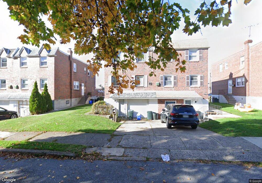
754 Kentwood St Philadelphia, PA 19116
Somerton NeighborhoodEstimated Value: $367,000 - $389,422
4
Beds
1
Bath
1,554
Sq Ft
$244/Sq Ft
Est. Value
About This Home
This home is located at 754 Kentwood St, Philadelphia, PA 19116 and is currently estimated at $379,356, approximately $244 per square foot. 754 Kentwood St is a home with nearby schools including Loesche William H School, CCA Baldi Middle School, and George Washington High School.
Ownership History
Date
Name
Owned For
Owner Type
Purchase Details
Closed on
Sep 26, 2000
Sold by
Hud
Bought by
Slipchenko Andriy and Slipchenko Inga
Current Estimated Value
Home Financials for this Owner
Home Financials are based on the most recent Mortgage that was taken out on this home.
Original Mortgage
$71,200
Outstanding Balance
$26,003
Interest Rate
7.94%
Estimated Equity
$353,353
Purchase Details
Closed on
Oct 18, 1999
Sold by
Marks Kenneth E and Campolongo Emilia F
Bought by
Hud
Create a Home Valuation Report for This Property
The Home Valuation Report is an in-depth analysis detailing your home's value as well as a comparison with similar homes in the area
Home Values in the Area
Average Home Value in this Area
Purchase History
| Date | Buyer | Sale Price | Title Company |
|---|---|---|---|
| Slipchenko Andriy | $75,000 | Lawyers Title Insurance Corp | |
| Hud | $11,800 | -- |
Source: Public Records
Mortgage History
| Date | Status | Borrower | Loan Amount |
|---|---|---|---|
| Open | Slipchenko Andriy | $71,200 |
Source: Public Records
Tax History Compared to Growth
Tax History
| Year | Tax Paid | Tax Assessment Tax Assessment Total Assessment is a certain percentage of the fair market value that is determined by local assessors to be the total taxable value of land and additions on the property. | Land | Improvement |
|---|---|---|---|---|
| 2025 | $3,891 | $334,000 | $66,800 | $267,200 |
| 2024 | $3,891 | $334,000 | $66,800 | $267,200 |
| 2023 | $3,891 | $278,000 | $55,600 | $222,400 |
| 2022 | $2,394 | $233,000 | $55,600 | $177,400 |
| 2021 | $3,024 | $0 | $0 | $0 |
| 2020 | $3,024 | $0 | $0 | $0 |
| 2019 | $2,847 | $0 | $0 | $0 |
| 2018 | $2,685 | $0 | $0 | $0 |
| 2017 | $2,685 | $0 | $0 | $0 |
| 2016 | $2,265 | $0 | $0 | $0 |
| 2015 | $18,741 | $0 | $0 | $0 |
| 2014 | -- | $191,800 | $64,320 | $127,480 |
| 2012 | -- | $25,312 | $4,885 | $20,427 |
Source: Public Records
Map
Nearby Homes
- 770 Selmer Rd
- 10236 Selmer Terrace
- 10236 Jeanes St
- 10752 Jeanes St
- 1120 Chesworth Rd
- 9975 Woodfern Rd
- 831 Lawler St
- 859 Selmer Rd
- 9962 Woodfern Rd
- 9945 Jeanes St
- 412 Avon Place
- 9908 00 Bustleton Ave Unit F9
- 9908 Bustleton Ave Unit H23
- 9949 Woodfern Rd
- 375 Avon St
- 9933 Medway Rd
- 11003 Stevens Rd
- 9921 Bustleton Ave Unit K11
- 9921 Bustleton Ave Unit P3
- 813 Piermont St
- 752 Kentwood St
- 756 Kentwood St
- 758 Kentwood St
- 750 Kentwood St
- 748 Kentwood St
- 10146 Ferndale St
- 746 Kentwood St
- 741 Greymont St
- 739 Greymont St
- 743 Greymont St
- 737 Greymont St
- 745 Greymont St
- 10148 Ferndale St
- 744 Kentwood St
- 735 Greymont St
- 733 Greymont St
- 747 Greymont St
- 10145 Bridle Rd
- 10150 Ferndale St
- 731 Greymont St